-2")
1/12/16 AM All Zones Update: Mild Temperatures Today, Wintry Weather Returns by Saturday
A warm front has lifted well north of the region. A mild southwesterly has help temperatures rise into the 50s. But cloud cover and some areas of drizzle continues to linger with some low-level moisture underneath inversion. Some more scattered showers are possible early this afternoon, as mid-level shortwave passing through region.
This afternoon, clouds may break for sunshine. If this occurs temperatures will rise into lower to middle 60s. Which will be near records at climo sites over the region. Partly to mostly cloudy remain tonight, as cold front passes through region. But more shower activity is expected to be more widely scattered with this front, with a lack of lift across the region. Temperatures will fall back into 40s, as this front passes through late tonight.
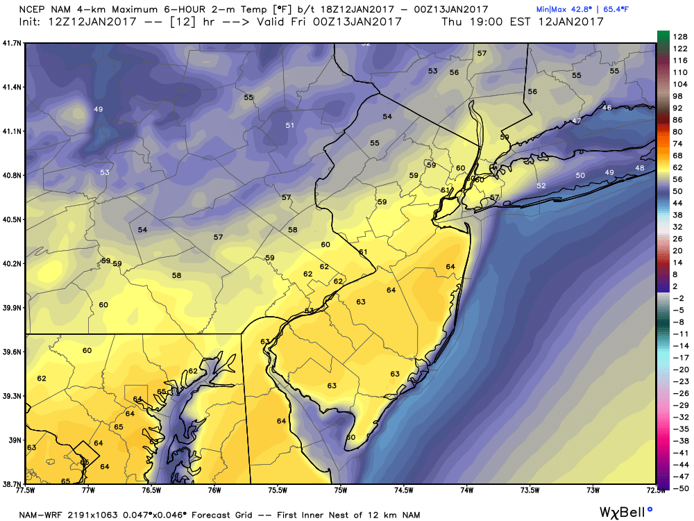
4km NAM showing 60°F+ from NYC metro Southwest into NJ this afternoon
The main story with this cold front, is a much colder airmass that starts to bleed into region later Friday and into Saturday. This comes from strong Arctic high that moves through Southeast Canada. The core of this Arctic airmass will stay north of the region. But enough cold air will available for some light snow possibly from wave of low pressure passing over the Mid-Atlantic region.
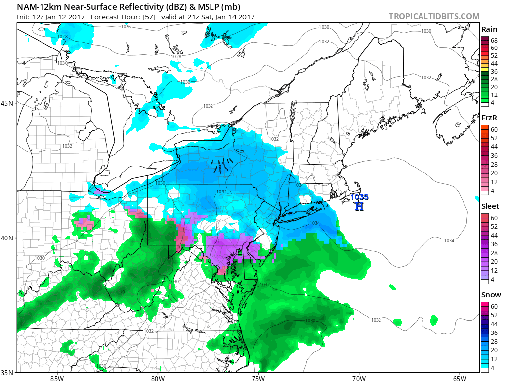
There is still some uncertainty on how much moisture will make it northward into all the zones. But it appears confluence with high pressure, will keep snow intensity on the lighter side, especially farther north of the 850mb thermal gradient. Temperatures during day may also near or just above freezing. This is may result in snow having hard time accumulating, especially on the roads and other paved surfaces. Also some light sleet and freezing rain is possible, especially for areas south of NYC, some warm-air advection occurring in lower to middle levels.
The 12z/12 NAM showing light precipitation in form of snow over Northern NJ/NYC/LI northward. More wintry mix over Southern NJ and Southeast PA on Saturday
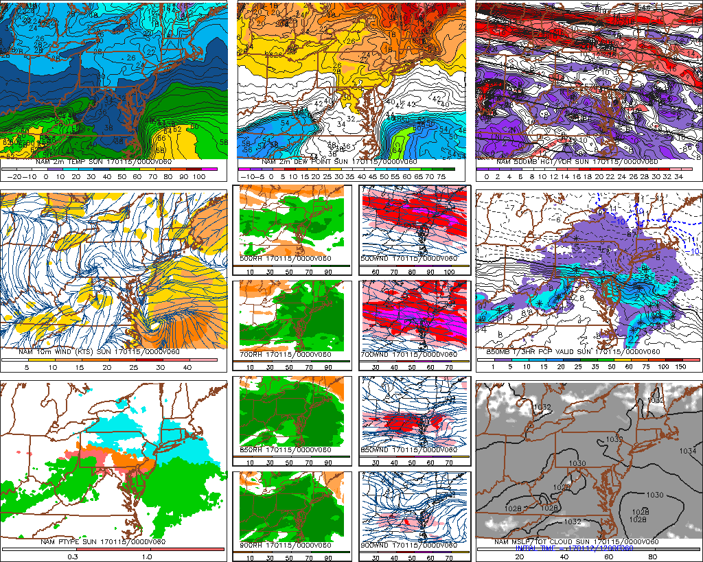
High pressure now looks appears to build further south into region later Saturday night and Sunday. So just cold and dry weather is now anticipated for rest fo the weekend. High temperatures with more sunshine likely be a little warmer than Sunday. But closer to normal for this time of year. Stay tuned for more zone forecast updates on this system for Saturday. If there appears to be significant difference with snowfall accumulations or precipitation types between northern and southern zones, more updates for individual zones may be needed in the future.