-2")
1/14 AM All Zones Update: Light Wintry Precipitation for Some Areas Today
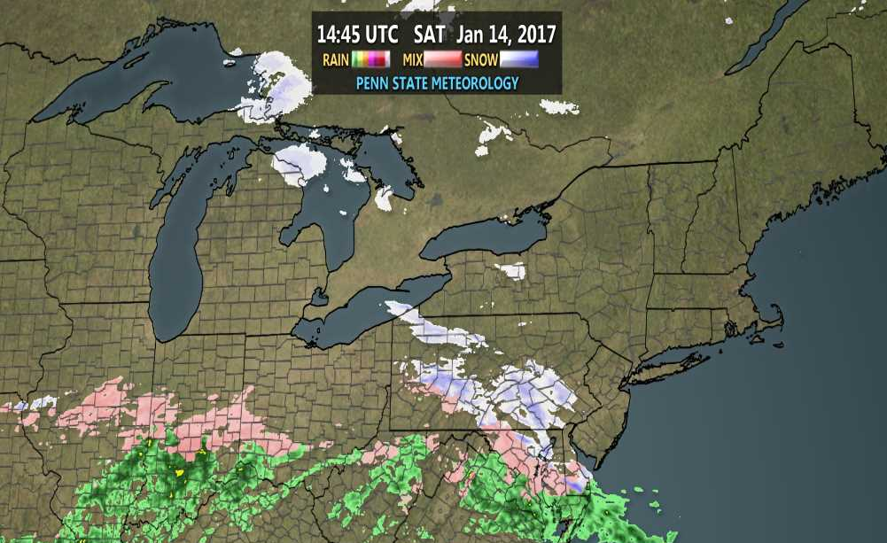
A weak wave of low pressure appears to still just be nuisance in our region. Overnight models showed precipitation reaching further north into the region. But this morning, latest hi-resolution models have cut-back on the northern extent and amount of precipitation again. As dry air cause by confluence and high pressure causes precipitation to evaporate as it moves northward.
It still appears that some snow showers will around over parts of the region today with temperatures rising into lower to middle 30s. A period of steadier light snow may still possible, especially over Central NJ and Southern NJ. However, boundary level temperatures may support some sleet or rain mix in these areas as well. Many urban and coastal areas including New York City, may surface or ground temperatures to support much accumulation. So we generally expecting snowfall amounts to be under 2” for the region, with many areas most likely seeing just a 0.5” or less .

4km NAM showing light precipitation over the region around 4pm this afternoon
Any precipitation will taper off and end later this evening. Some clearing will take place overnight and temperatures drop again into the 20s over the most zones. Any wet areas remaining on roadways or sidewalks could refreeze overnight. So take some caution if going out late tonight.
Seasonably cold and dry weather is expected for Sunday and into Monday, as high pressure builds over all the zones. Highs will be mostly in range from the upper 30s to lower 40s.
Stay tuned for more zone forecast updates later today on this system, as necessary.