-2")
1/18 AM All Zones Update: Lingering moisture before high pressure
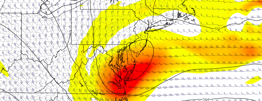
A storm system which brought wintry weather to parts of interior New England this morning is still meandering off the coast of Southern New England, with a surface low pressure moving eastwards a few hundred miles south of Cape Cod. This surface low pressure will slide eastward (almost southeast at times) into the Atlantic. Trailing moisture, especially in the low levels of the atmosphere, will allow drizzly conditions to continue this morning, with gradual clearing.
The moisture will linger a bit longer over northern parts of our region, particularly Connecticut and Eastern New York. But gradually, low and mid level clouds will clear as the afternoon goes on. Even with the presence of a departing storm system, temperatures will remain above seasonal normals for the majority of the area — not even slightly so — with afternoon highs around 5 to 8 degrees above normal across the board.
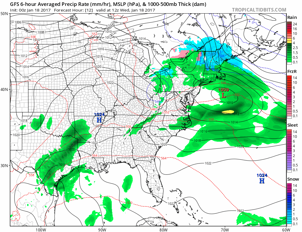
High pressure builds in later today, before another weak disturbance approaches on Friday.
High pressure then builds in for the next day or two and the atmosphere dries out. Temperatures will remain several degrees above seasonal averages for this time of year, but will be generally comfortable with benign weather as we move through the middle of the week and towards the weekend.
The next disturbance arrives on Friday afternoon and evening, and it will be weakening as it approaches the area. Still, a narrow band of moisture and favorable lift for precipitation will approach the area Friday afternoon, specifically in southwest zones, and showery weather may be briefly possible before high pressure takes back over Saturday morning.
Thereafter, attention turns to a potentially significant (currently non-wintry) storm system next week. We’ve got that covered for you in our latest medium range breakdown.