-2")
Evening All Zones: Improving weather during the midweek
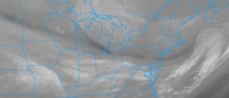
A quick, light winter storm impacted parts of the area today, mainly in from Northern NJ into NYC, LI and parts of CT. 1 to 3 inches of snow fell in most of the aforementioned areas, with accumulations on all surfaces and snow throughout much of the day. The low pressure system associated with the disturbances in the mid and upper levels of the atmosphere is shifting eastwards today, developing south of New England.
A few snow showers remain in the Northern Mid Atlantic this evening, and will continue to shift north and east as the evening goes on. Lift in the atmosphere will decrease significantly as the overnight period goes on. The best chance for continued snow in our region will be in Northern Connecticut. Elsewhere, improving conditions are expected.
The same will be true on Wednesday, as the storm system lifts further north and east of the region. Clouds during the morning hours will clear, leading to a pleasant day throughout the area. Any snow will melt as the day goes on, with temperatures rising into the upper 30’s and 40’s throughout the area — averaging a few degrees above normal for this time of year.
A tightening pressure gradient between a low pressure in New England and an approaching high pressure will lead to blustery winds during the afternoon hours on Wednesday. These are not expected to be significant — but the potential does exist for winds to gust to 30mph during the afternoon when mixing is maximized.
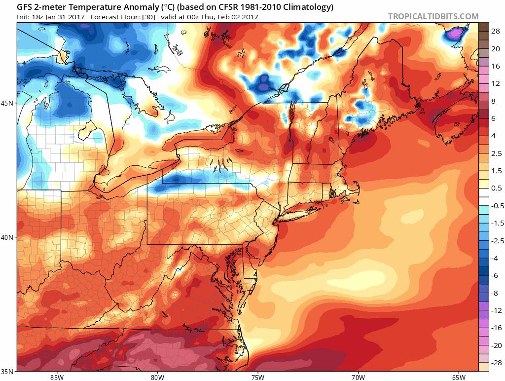
Colder temperatures will gradually reach the area during the latter half of the week seen here on the GFS model
A frontal boundary will move through the area bringing lower heights in the mid levels of the atmosphere and a shortwave disturbance as well on Thursday. Temperatures later this week will gradually fall from above normal to below normal by Friday, with the potential for a few passing snow showers each day.
The next chance for precipitation comes on Sunday – but the storm systems track and intensity remain extremely uncertain. Stay tuned for more information including a full threat analysis post.