-2")
2.16 PM Zones: Warm, tranquil weather on the way
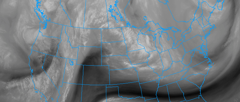
The news we have all been waiting for is drawing closer and closer! The warmup and tranquil weather, which we have been discussing for a few days now, is on the way this weekend. In fact, it will begin as early as Friday, when heights in the mid levels of the atmosphere will begin to rise. We still have a cold and blustery day to get through today — and a chance of snow showers with blustery winds will continue through the afternoon.
These will dissipate through the early evening hours and temperatures will remain quite cool tonight throughout the area. Lows are expected to drop from the upper teens through the 20’s in the entire region, with the warmest temperatures remaining near the coast and in the typically warmer urban areas such as New York City and Newark.
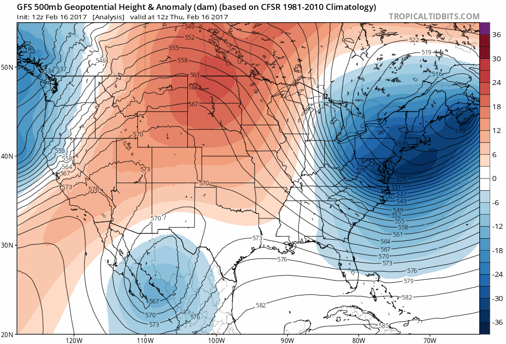
A large ridge rolls eastwards from the Western US allowing warm temperatures to return to the Northeast.
To our west, however, a large ridge will be beginning its collapse westwards from the Plains states, through the Great Lakes, and into the Northeast. This collapsing ridge will allow Pacific, maritime air which had been bottled up out west to spill eastwards. Arctic air overhead will be shunted northeastwards away from the region, with warmer air beginning to seep into the area as early as Friday.
The ridge will continue its roll eastwards this weekend. Temperatures will respond, expected to rise several degrees above average throughout the area . Highs in the mid 40’s on Friday will rise by nearly 10 degrees in some areas on Saturday and Sunday, when high temperatures will reach well into the 50’s.
Some areas of Southern and Central New Jersey may even see high temperatures reach near 60 degrees on Sunday afternoon as warmer air continues to spill into the area. The weather is also expected to remain quite tranquil, making the weekend a real winner throughout the area. The lone exception to the warm, tranquil weather may initially come across parts of the interior and New England, where snowpack will keep temperatures a bit cooler.
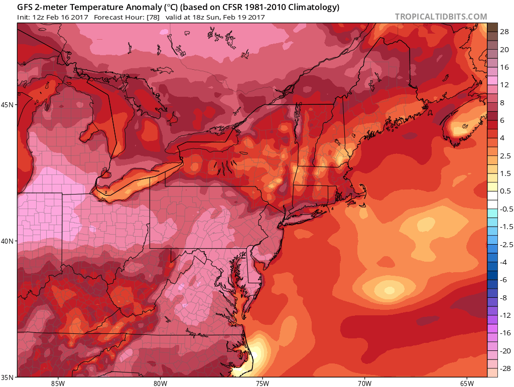
GFS model showing temperatures nearly 10 degrees above average throughout parts of the Northeast on Sunday afternoon.
The relatively warm weather looks likely to continue into the early part of next week, with temperatures reaching the 50 degree mark in many areas on Presidents Day. A look into the longer range, beyond the early part of next week, offers considerable uncertainty. Forecast models have begun to hint at the idea that the warmth may be transitioning away from the area once again within 10 days.
The overall theme of this winter has been transition, without any true consistent pattern (either warm or cold). The overall hemispheric pattern argues for much of the same. So while this warm and tranquil period will be pleasant and easily enjoyable, we anticipate changes beginning in about a weeks time that will take us towards a cooler, more active end of February.
Keep an eye out for a long range post with more details later this evening!