-2")
2.17 PM All Zones: Here comes the weekend warmth
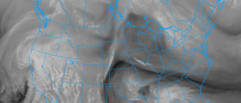
It’s been well discussed, well explained and well known for several days: It’s going to get quite warm this weekend. And now it’s finally here. Mid level atmospheric heights will continue to rise from this afternoon into this weekend as a large ridge, initially situated over the Western U.S.A coast, shifts eastwards and collapses. Warmer Pacific air will flood eastwards as well, reaching the Northeast U.S.A this weekend.
This very same air is already over the Plains and parts of the Great Lakes, where temperatures have surged into the upper 50’s and lower 60’s this afternoon. This air is highly anomalous for this time of year in those locations, especially the northern plains where temperatures are 15 to 20 degrees above normal averages!
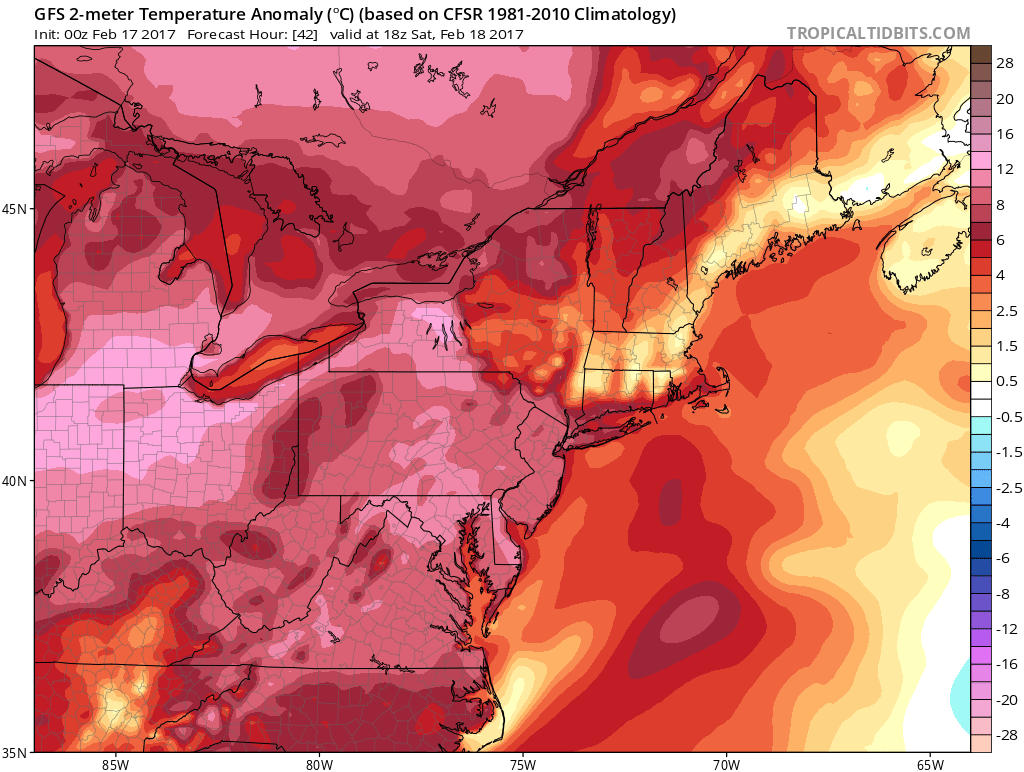
Temperature anomalies on Saturday will be several degrees above normal for this time of year.
In our neck of the woods, temperatures will gradually climb each day as the weekend goes on. High temperatures in the 40’s today are actually quite seasonable, and breezy conditions have kept things feeling relatively cool. But a more westerly wind component, warmer temperatures in the atmosphere’s mid and lower levels, and plenty of sunshine will lead to warmer temperatures on Saturday.
Forecast models are in good agreement that temperatures will reach well into the 50’s throughout the region, particularly over parts of the Northern Mid Atlantic states from Southeast Pennsylvania into New Jersey. Much of the same is anticipated on Sunday, when some of those very same locations may reach into the lower 60’s during the afternoon. After several weeks of cold and wintry weather, this will certainly be a welcomed change!
An unwelcome guest comes through the back door
While many of us will be enjoying the warmth this weekend, the forecast takes a complicated turn early next week, beginning on Presidents Day. Despite the presence of a ridge in the Northeast US initially, the northern jet stream will remain quite active. Multiple disturbances in the northern jet stream will swing southeastwards through New England, effectively “fighting” the ridging and higher heights in the atmosphere.
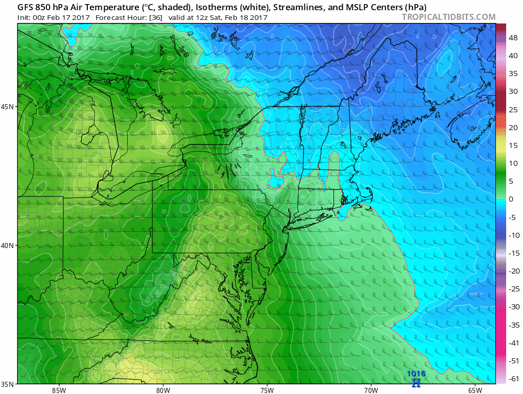
Models show a backdoor cold front moving through New England next week.
As the drop into New England, heights will fall, and the temperature gradient in the mid levels and at the surface will drop southwards from New England into the Northern Mid Atlantic, cooling things down quite a bit. This is known as a “backdoor cold front” which we often see in Spring when the cooler ocean waters in New England unleash backdoor fronts with cold, damp and dreary conditions.
This front won’t be particularly powerful, but it will knock temperatures down several degrees, probably back into the 40’s for many areas from Monday forward, before an additional gradual moderation occurs. The fronts impacts will be most prevalent throughout New England, per usual, nearer to the northern stream disturbances.
Additional recovery in temperature is anticipated as next week goes on, with another gradual warmup, and rebound of temperatures to above normal values.