-2")
2.18 Evening Zones: Mild for now, cooler early next week
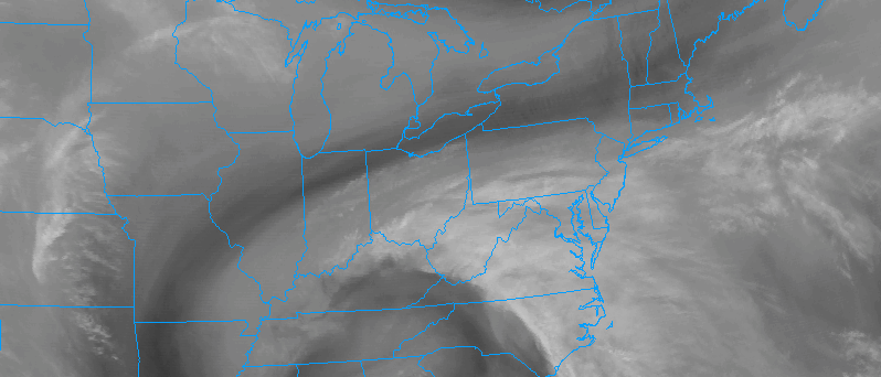
Mild weather has built into the area over the past several hours and will continue to remain prevalent throughout the region over the next 24 hours as well. Mid level ridging will continue to build into the region with atmospheric heights rising over the next several hours. All of this is thanks to a collapsing ridge on the West Coast of the USA, which is shifting over the Central and Eastern USA today.
Temperatures this afternoon rose into the middle and upper 50’s throughout much of the region, and even the lower 60’s throughout parts of Southern and Central NJ. Parts of Delaware and the Mid Atlantic, including the beaches, reached the 70 degree mark this afternoon! This warmth is extremely impressive for this time of year.
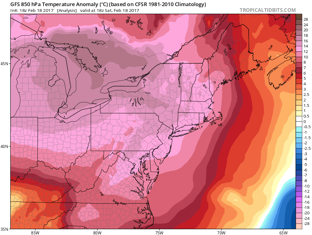
Temperatures on Sunday in the lower levels of the atmosphere will be several degrees above normal.
Much of the same is expected to continue on Sunday. A west/southwesterly flow will continue to draw warmer air into the region, and temperatures in the atmosphere’s middle and lower levels will continue to rise. High temperatures throughout our zones are likely to rise into the middle and upper 50’s — and lower 60’s will become more common than they were even on Saturday.
Temperatures over 60 degrees are likely across the Mid Atlantic states and into parts of Southern and Central NJ, spreading northwards up into the urban corridor of Northeast New Jersey. These temperatures are well above average for this time of year — not just several degrees, but much more than 10 degrees in some locations.
The warm weather will finally break as the week turns on Presidents Day. A backdoor cold front, marked by a temperature gradient moving southwards from New England, will seep southwards into the Northern Mid Atlantic on Monday, dropping temperatures by several degrees across the board.
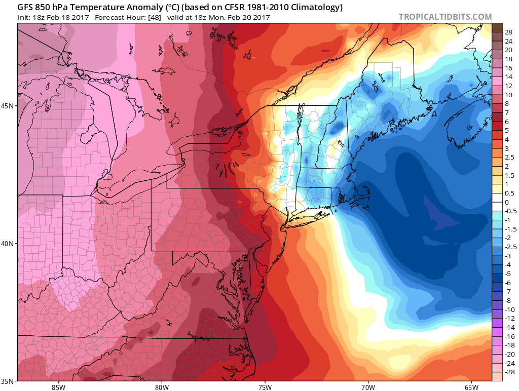
Those very same temperatures in the lower levels will drop significantly on Monday as a backdoor cold front moves into New England.
These conditions will be most prevalent throughout New England, where northeast winds will keep the weather very cool and damp with cloudy conditions also likely throughout the region. The cooler and damp weather will still leave temperatures several degrees above average, but additional warming is likely as the week goes on and temperatures again moderate.
Stay tuned for more details on the forecast moving forward into the latter stages of the week and weekend ahead. For now, enjoy the warmth!