-2")
3/03 All Zones Update: Snow Showers Possible Later Today…Colder Saturday
Happy Friday! More wintry weather is returning to region over the next few days. A block near Greenland and some ridging over Western Canada will support an arctic airmass associated with lobe of polar vortex, and this airmass will intrude the Northeast US this weekend. Today will be colder with partly sunny skies and high temperatures in upper 30s to lower 40s. Then temperatures turn much colder tonight and tomorrow.
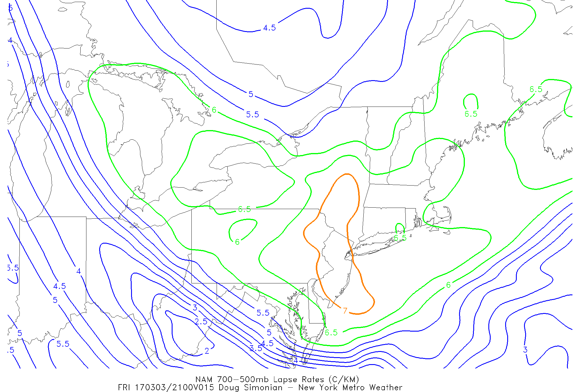
Before that occurs, the atmosphere will become more unstable today with steepening low-level and mid-level lapse rates. This will likely lead to some snow showers and snow squalls developing, with weak shortwave and arctic boundary moving through this this afternoon and early evening. Lift and moisture overall is limited, so these will likely be scattered throughout the region — some areas may not see anything.
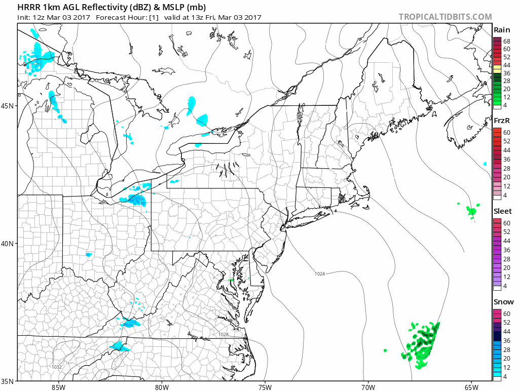
But where there are snow squalls, visibilities will be reduced with briefly heavy snow and wind gusts between 30-45mph. Surface temperatures may drop around freezing, allowing for some for some quick coatings to 1” of snow, especially northwest of the I-95 corridor. Driving conditions may briefly deteriorate for some locations for the evening rush hour.
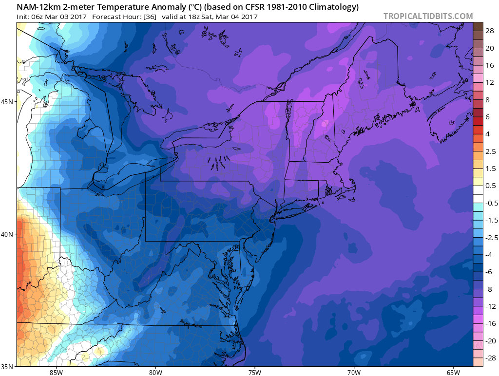
Skies clear later this evening with temperatures dropping down into the teens or lower 20s overnight. On Saturday, temperatures will below normal, actually quite frigid for early March. Despite some sunshine, temperatures will only rise in the upper 20s to lower 30s during the afternoon hours. It will also be blustery with northwest winds gusting to around 30 to 40mph, resulting in windchills down into the single digits and teens.
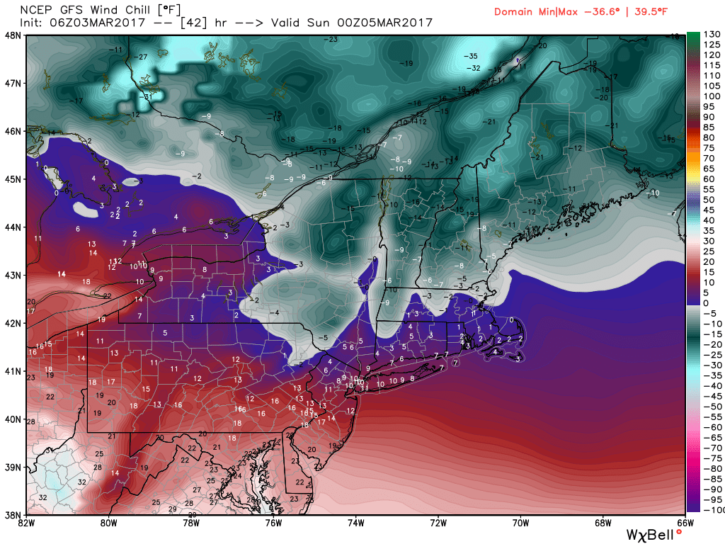
Winds diminish Saturday night underneath clear skies. This will allow for more radiational cooling with temperatures dropping into the single digits and low to middle teens over the entire region. Sunday will continue colder than normal. High pressure over the region will keep winds much lighter, so the weather will continue to feel harsh despite temperatures reaching the middle 30’s.
Temperatures will slowly moderate to near and above normal again Monday and Tuesday as more ridging builds over the region. With the warmth, however, will come a higher likelihood of unsettled weather. Showers will return to the forecast as a frontal system approaches the area on Tuesday and Wednesday, with colder air returning again (At least briefly) towards the end of next week.