-2")
PM Premium Update: Unsettled weather lies ahead
It so often works this way, but it never gets old: Torrential rain and heavy thunderstorms one day give way to beautiful blue skies and drier air the next. Today was the latter in the sequence of days, but there is a flaw in the design of appreciating such a thing; the repetitiveness that lies ahead signals an unsettled pattern will continue. Yes, stormy days again appear on the horizon in the not-so-distant future, and the atmospheric pattern doesn’t look to let up.
Forecast models are in rather good agreement regarding the overall evolution of the pattern, suggestive that multiple disturbances will swing through the Mississippi Valley and Northeast States over the next several days. And while that my not necessarily mean a washout for the area, it will mean continued opportunities at precipitation and a lack of steady warmth. This comes as bad news for those who have been longing for summer’s heat to arrive.
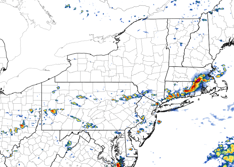
A few isolated to scattered thunderstorms may develop on Wednesday afternoon, some of which could be strong with gusty winds and maybe even some small hail.
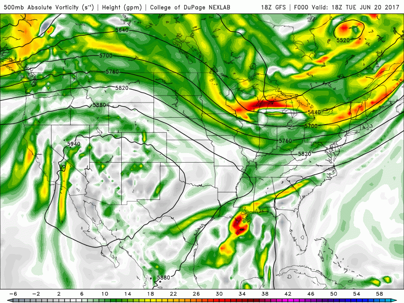
Speaking of which, the summer solstice arrives in just a few hours! Temperatures are likely to fall near or slightly below seasonal averages over the next few days and nights, so the weather won’t be feeling quite as anomalous as it has (both negatively and positively) in the past few weeks. But the hints of unsettled weather will return as early as Wednesday afternoon, when forecast models suggest a disturbance will approach the region from the northwest.
Embedded within a larger trough over the Northeast States, this disturbance may touch off the development of some showers and thunderstorms during the afternoon hours. While they won’t be widespread, and they aren’t expected to be severe, a few stronger storms could produce torrential downpours and maybe even some small hail. Generally, weak lapse rates and meager instability in the atmosphere should mitigate what would otherwise be a notable threat.
Later in the week and heading towards the weekend, the forecast becomes muddy (no pun intended) once again. As Tropical Storm Cindy, or her remnants, begin to track inland along the Gulf States, disturbances in the atmosphere’s mid levels will begin to be absorbed into the greater mid level jet stream and flow. This will push them northeastwards towards the Ohio Valley and eventually into the Northeast. These disturbances are important because they provide lift for precipitation.
Tropical remnants will send mid level disturbances towards our area late this week.
In addition to the advection of these disturbances, providing lift, the mid level and low level flow in the atmosphere will promote the advection of tropical moisture towards our area. With precipitable water values near or over 2″, the atmosphere will be primed in a tropical-like fashion. So while we aren’t certain exactly when it will rain, or how much it will rain, there will at least be a very moist and humid airmass in place with the potential for tropical downpours, especially on Friday.
The good news? The suggestion currently amongst model guidance (operational and ensemble) is that this moisture will be shunted away from the Northeast US by a cold front on Saturday. This should open the door for higher pressures with more pleasant air for the second half of the weekend. We’ve got our eyes peeled on it and will provide more details and context as the weekend grows closer.
Have a wonderful Tuesday evening!