-2")
Transitional weather expected to continue through the week
Happy Independence Day to all of you! While today is a day to spend enjoying with family, friends and loved ones, we’re taking a moment to look ahead at what the weather will have to offer over the coming days. The pattern over the last several days (and even the past few weeks, really) has been markedly transitional — there has been no true established pattern in terms of temperature of precipitation. As forecasters, we are often looking for changes in how the atmosphere will behave — but this pattern doesn’t show any sign of changing.
Forecast models, especially in the medium range, are in very good agreement that the weather pattern will remain progressive and transitional. Multiple frontal systems and low pressure areas are expected to impact the Northeast states, with a few days of warm temperatures followed by chances for showers and storms, and a few days of temperatures slightly below average for this time of year.
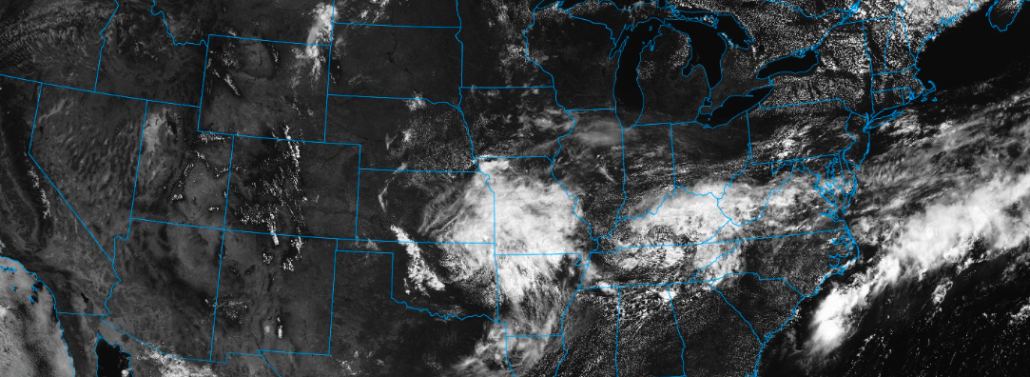
The progressive pattern has already settled in, as you may have noticed over the past few days, with multiple rounds of showers and thunderstorms. This will continue even in the short term, with a frontal boundary settled just south of the area. This frontal zone will serve as a focal point for the development of isolated showers and thunderstorms today, which may briefly bring downpours to some parts of Southeast Pennsylvania and Southern New Jersey. The coverage of these showers is expected to be rather limited — as is the risk for severe weather — but the showers may impact some late afternoon Independence Day plans.
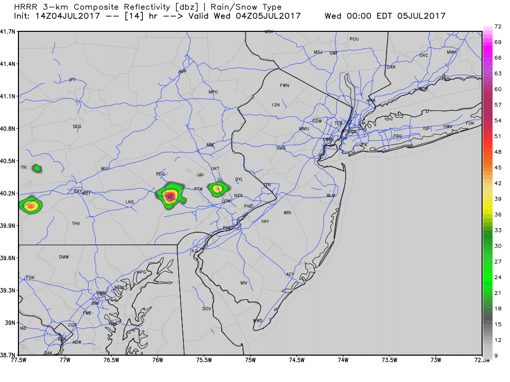
A few isolated showers and storms may develop later today.
By this evening, in time for the fireworks, things are expected to clear out throughout the majority of the region. The frontal zone, however, will remain settled to the south of the area. This will continue to be a focal point for isolated to scattered showers each afternoon, as the front lingers over Southern parts of New Jersey and the Mid Atlantic. Gradually, the frontal zone will shift northward. The area will generally remain under the influence of high pressure, but a cool northeast wind flow will keep temperatures near average or slightly below average for this time of year.
The forecast again turns unsettled as the end of the week and weekend approach. On the east side of a large ridge, which will be building throughout the West-Central United States, disturbances will slide southward through the Great Lakes and into the Ohio Valley. This will allow low pressure areas to shift west and northwest of the area, and as they approach, chances for showers and some thunderstorms will increase.
There will be multiple disturbances approaching and passing the area during this time frame, with showers and thunderstorms possible each day from Thursday through Saturday. Forecast models are in fairly good agreement that the front will settle south of the region again by Sunday, with a few days of pleasant weather thereafter.
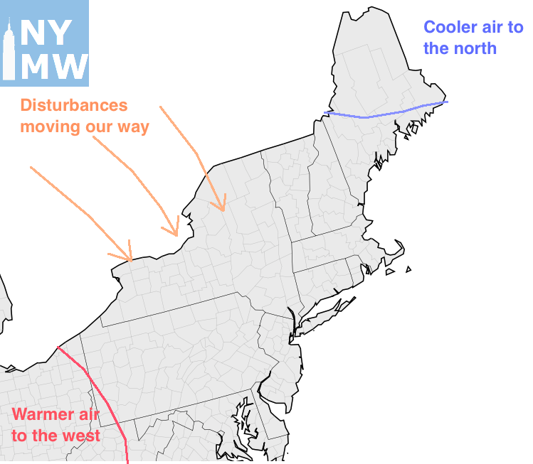
The weather pattern over the next several days will feature disturbances moving into our region.
By and large, however, the pattern looks likely to continue to feature transitional weather with temperatures near average. There is no support for large ridges of high pressure building into the region, as an active jet stream continually looks to be angled near the Northeast States.
Enjoy the remainder of your Independence Day and stay tuned for detailed updates forthcoming tomorrow morning!