Video Analysis: Potential Nor’Easter on Friday into Saturday
Good evening, everyone! We hope you all enjoyed this lovely Wednesday. We have a lot to talk about with this potential upcoming Nor’Easter on Friday into Saturday. Late July may be the hardest time of year to get a Nor’Easter, with the main jet stream generally being protracted towards the Arctic rather than diving down towards the mid-latitudes. But with a strong blocking pattern with a -NAO blocking ridge in Greenland as well as a ridge forming out west, we are able to get some of the necessary ingredients we normally see in the Fall and Winter months for a potential Nor’Easter.
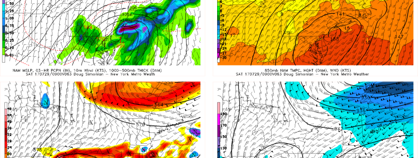
A strong shortwave will be diving on the downstream side of this ridge and into the Great Lakes on Thursday into Friday. Thanks to this blocking pattern, it will be able to slow down and amplify as it does so, turning into a very strong shortwave that closes off at 500mb and even at 300mb. The blocking pattern and subsequent vortex in Southeast Canada will also allow for a strong jet streak to form in New England, placing us in the right-entrance region of this jet streak, which is great for lift and precipitation. But what makes this forecast tricky is that the interplay between the main shortwave and the Canadian vortex is very tricky and has a lot of nuances, and the fact that some energy crashing into the West Coast will be flattening the PNA ridge and make our shortwave take on a positive tilt. This may make it hard for the low pressure to truly climb the coast, and instead it may slide ENE when it reaches our latitude.
The above video explains all of the details and potential complications to the forecast, as well as the very unique set of ingredients that could come together to make this a powerful storm with high impacts for our area. As of now, we think the heaviest rain may be to our south, but the jet streak aloft and deepening storm may allow enough precipitation to spread out well ahead of the low to still give our area over 1″ of rain. But if all of the ingredients come together and consolidate, a large portion of our area could easily get 2″ or more — even locally much more — of rain.

