-2")
PM Update: Improving conditions, unsettled long range
Good evening! We hope you all had a wonderful Saturday – the second half of the day turned out nicer than the first, as expected. A large coastal storm system which affected the Mid Atlantic states yesterday is gradually shifting away from the region, and will continue to do so through tonight. This will open the door for higher pressure to move into the Northeast states tonight, with temperatures remaining solidly below average for this time of year.
Gradual improvements to the weather forecast are expected to continue into Sunday, as high pressure builds further into the region. Temperatures are expected to rebound, with a warmer flow gradually developing into the Northeast states. Highs will be several degrees warmer on Sunday than they were today, reaching the middle 80’s in many areas away from the immediate coast.
The next opportunity for showers and thunderstorms will come towards the end of the week ahead.
The weather pattern into early next week looks likely to feature pleasant and transient weather. A few weak frontal boundaries may approach the area beginning Tuesday afternoon and evening, promoting the development of isolated to scattered thunderstorms. But the threat for widespread precipitation will remain low during the first few days of the week – at least.
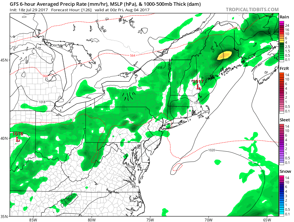
The next opportunity for unsettled weather looks to come on Thursday and Friday, as a weak frontal boundary sinks into the Northeast states from Southeastern Canada. A warm and somewhat humid airmass will have settled into the region by that time, and the frontal boundary itself is likely to serve as the focal point for the development of afternoon showers and thunderstorms each day.
It is important to note that there is no signal for widespread or heavy rain. Instead, forecast models are insistent that the potential will exist for showers and thunderstorms which mostly will be driven by daytime heating (often called “popcorn storms”). Most forecast models and ensembles also suggest an overall lack of wind shear, which means that thunderstorms are very unlikely to become organized or pose a threat for widespread severe weather.
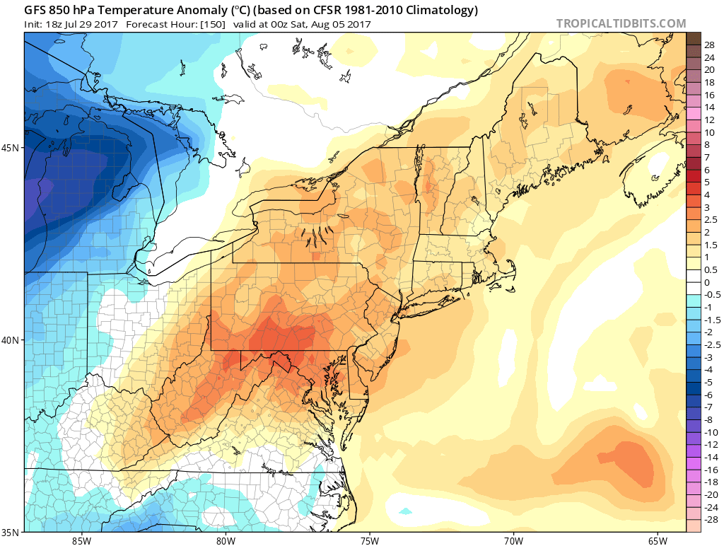
Temperatures throughout the atmosphere will gradually trend warmer during the week ahead.
Temperatures throughout the week ahead look likely to gradually trend upward towards near or slightly above normal values. As a large trough builds into the Central states, southwesterly winds may even enhance the warmth as we move into next weekend. But that’s more information for our Long Range update, which is heading your way this evening.
For now, have a wonderful Saturday evening and enjoy a beautiful Sunday ahead. Don’t forget to check out our brand new ShoreCast page, which debuted today with beach forecasts for the entire area!