-2")
NYC Area PM Update: Unsettled evening, shot of Autumn air awaits
It’s been nice this week, with lower humidity and minimal rain chances since Monday – owing mostly to a high pressure that has filtered southward from New England. The reign of this lovely high pressure will end this afternoon (it has already ended, if you haven’t noticed the clouds) and another disturbance will approach the northeast states. A warm front is already moving northward from the Mid-Atlantic states as we speak — err, type.
Some of the thunderstorms developing near and along the warm front have been strong and severe this afternoon, acting upon weak to moderate atmospheric instability. This threat will continue for a few more hours into Southern New Jersey. We always advocate for being careful along warm fronts – they create extra low level shear in the atmosphere that can sporadically strengthen storms. So we will be watching!
The showers and thunderstorms will spread northeastward tonight. Short term forecast models are in good agreement on the timing: Storms move into Southern and Central New Jersey around 6-7pm with the most intensity, and then begin spreading northeastward, with steady thunderstorm activity reaching New York City around 11pm and continuing through 2am. On this same general timeline, storms will move into Southwest CT after 1am.
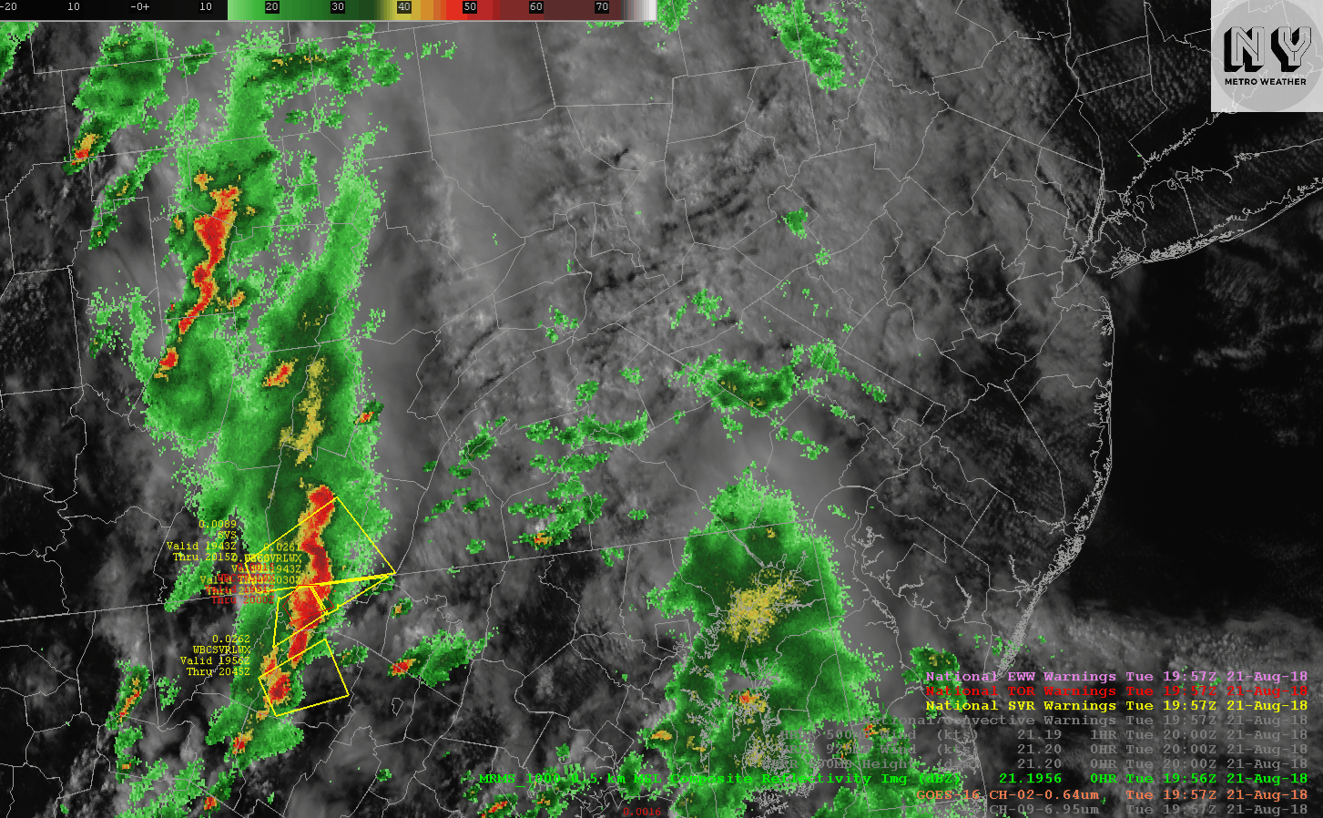
Current high-resolution visible satellite imagery and composite radar over the Northeast and Mid Atlantic
We aren’t expecting a severe weather threat with these storms, but a few of the embedded thunderstorms could be strong or marginally severe. Any storm that is strong or severe will have the potential to produce dangerous lightning and a few stronger wind gusts – the threat for a weak tornado is also non-zero, although it is certainly not high by any means. With increased atmospheric moisture, the potential will also exist for some localized flooding.
Wednesday and beyond
Sweet, sweet relief is (temporarily) on the way. After a few more storms linger in the area on Wednesday, forecast models are in great agreement that a strong cold front will blow through the Northeast states on Thursday. This will bring some of the coolest dew points in over a month with it – guidance suggests dew points fall from the mid 70’s on Wednesday to the upper 40’s in some spots on Thursday!
The airmass will certainly feel crisp and cool, with temperatures falling into the 50’s in the suburbs during the overnight periods from Thursday into the early part of the weekend. Most notable of all is the difference from the weather we have observed, with dew points 20-25 F below the average from the past few weeks.
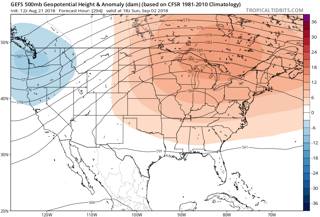
GFS model suggests a large ridge develops next week which will lead to warm temperatures and chances for storms.
The bad news? It won’t last very long. Models are already in good agreement that a large ridge will expand across the country and reach the Northeast states by the early part of next week. Southerly winds will again advect in more moist, warm air and temperatures are expected to rise several degrees above average. The warmth is expected to last from the early part of next week into early September, with thunderstorm opportunities to follow.