-2")

Thursday Briefing: Unsettled weather continues today
Warmth and humidity will stick around for another day, with showers and thunderstorms also likely this afternoon and evening. You can thank a slow moving front boundary for that. It will meander in New England today, finally dropping southward this evening.
With warm and humid air ahead of it, the atmosphere is expected to be at least marginally unstable. This will help to fuel the development of showers and thunderstorms, which will sink southward from New York and Pennsylvania into parts of New Jersey and the Mid-Atlantic states by tonight.
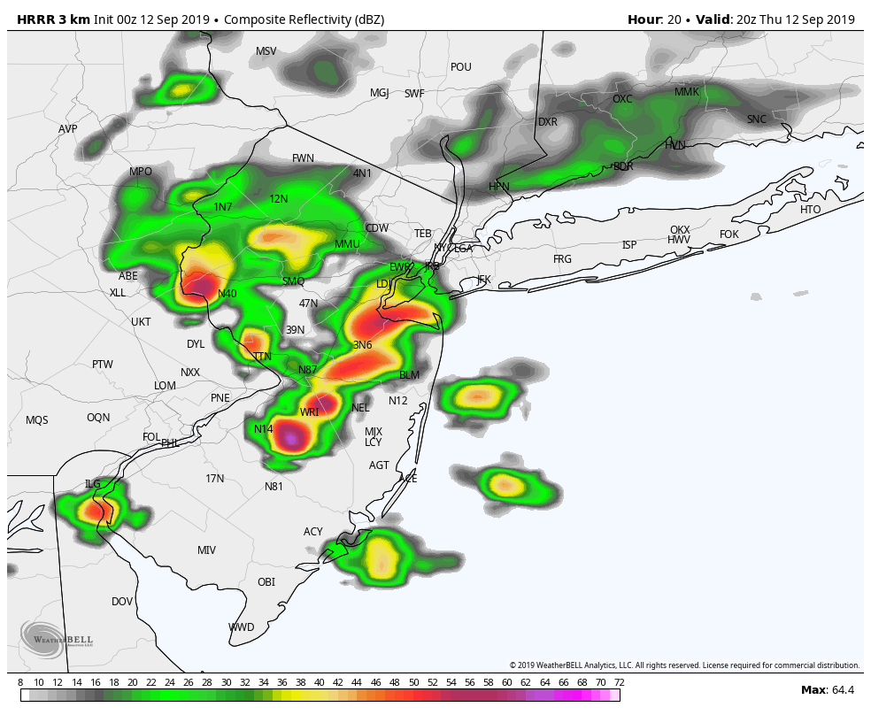
A widespread severe weather threat isn’t anticipated, but a few storms could be strong and produce dangerous lightning, heavy rain and gusty winds. The threat for rain should gradually end as we move into the mid evening hours.
Here are todays key points as we look ahead to the weekend:
- Showers and storms are expected later today, especially across the interior portions of New York, Pennsylvania and New Jersey.
- Some storms could be strong or severe, but a widespread severe weather event isn’t anticipated.
- Nevertheless, stay weather aware and remember that any storm can produce dangerous lightning, heavy rain and gusty winds
- Improving weather is likely for a few days – namely Friday and parts of Saturday
- Unsettled weather eventually approaches again, with a few chances for showers and storms on Saturday and Sunday (not a washout). A warmer pattern settles in next week.
Trackbacks & Pingbacks
3wyoming
Leave a Reply
Want to join the discussion?Feel free to contribute!