-2")
Polar vortex visits NYC Friday, another winter storm threat looms
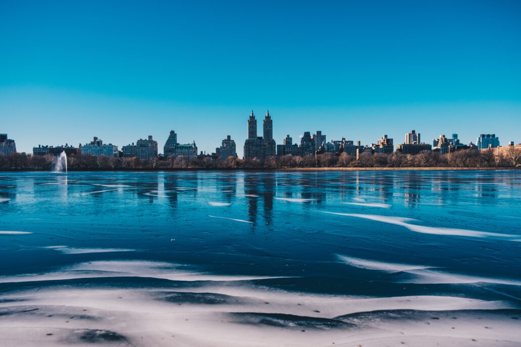
A piece of the tropospheric polar vortex will pass through New England on Friday, making a close approach to NYC as it does so. The result will be brutal cold (apparent temperatures below zero), blustery winds and the potential for snow showers. This will be easily the coldest air that our area has experienced so far this winter season.
Thereafter, another winter storm could impact the East Coast early next week.
On the polar vortex, and what its visit means this time
You may recall the last time the term Polar Vortex went viral back in 2014 (wow, we are old). It was a media frenzy – the polar vortex was coming to invade the United States and everyone was going to suffer because of it. You may also recall the reality of it – it was cold, and in some places it was snowy, but the hype was largely blown out of proportion.

More importantly, the hype regarding the polar vortex is often misguide. The Polar Vortex always exists both in the stratosphere and troposphere. It is a persistent cyclone that is typically located near the North Pole. It features a counter-clockwise rotating pool of cold, dense air — some of the coldest on the globe. An increased temperature gradient between the mid and polar latitudes strengthens the vortex during the winter season.
The vortex moves around to a certain extent, but generally remains in the vicinity of the poles for most of the year. In the troposphere (where we experience most of our weather) the polar vortex can often fracture, and pieces that separate and move away from the pole can bring anomalous weather (often very cold air) to areas that don’t normally experience it.
What to expect as the polar vortex swings through New England
This visit from the polar vortex will be brief, and from just a piece of it in the troposphere. As this piece of the polar vortex moves through New England, it will bring anomalous cold with it. Temperatures on Friday and Saturday are likely to average near or greater than 20 degrees F below normal. In NYC, expect brutal cold especially during the morning hours.


The peak of the cold will come on Friday and Saturday mornings. Temperatures will fall into the single digits and teens. When combined with gusty north and northwest winds, apparent temperatures are likely to fall below zero even in the NYC Metro. In New England, apparent temperatures could exceed 20 degrees F below zero.
A few snow showers are also possible as the vortex moves through, specifically later Friday and on Saturday morning. As quickly as it arrives, the vortex will be on its way out. It will interact with a disturbance in the Northwest Atlantic and be out of our area by Saturday evening. Cold air, however, will linger – setting the stage for another potential winter weather event.
Winter storm could impact the East Coast next week
An active weather pattern will continue next week. A notable disturbance is forecast to eject from the Southwest United States. Unlike most of the disturbances before it, this one will have ample room to organize itself and amplify into the Central United States.
High latitude blocking over Greenland will be shifting southward into Central Canada during this time. This will act to create an atmospheric “Traffic jam” across the Great Lakes, Northeast and Mid-Atlantic states. Blocking ridges in this region are notorious for leading to amplification and phasing with stronger storm systems off the US East Coast.


Given the setup in place, it is not surprising that ensemble data are strongly suggesting the potential for a notable coastal storm. The ECMWF EPS and GEFS are both signaling that a low pressure system will move into the Ohio Valley before redeveloping off the coast of the Mid-Altantic states.
With plenty of cold air in place, a disturbance approaching and the potential for phasing and amplification off the coast, the possibility of a winter storm is heightened during this period. Details, including timing and impacts, remain highly uncertain and are likely to change and evolve quite a bit in the next few days.
We’ll be keeping a close eye on this time period and will provide further updates as the evolution of the system becomes more clear this week.
baran aydin
baran aydin
türk kahvesinin faydaları
Enjoyed examining this, very good stuff, thankyou . “Talk sense to a fool and he calls you foolish.” by Euripides.
Güncel istanbul hurda fiyatları ile İstanbul’da hurda alan yerler içerisindeyiz. Size en yakın istanbul hurdacı firması olarak hizmet sunuyoruz.