-2")

More snow today, improving conditions midweek
Another round of winter weather will occur early this afternoon as a weak low pressure system passes through the Northeast states. Dynamics will support the development of moderate to heavy snow for a few hours across Eastern Pennlsyavania, New Jersey and Southeast New York. A few inches of snowfall appear likely in these regions, with less snow near the coast.
Snow was already evolving across the aforementioned regions as of this morning, with moderate snowfall rates spreading into New Jersey as of 10:30am. Periods of moderate to heavy snow will lead to lowered visibility and accumulations on all surfaces in the interior through around 2:00pm. Accumulations of 1 to 3 inches are likely here.
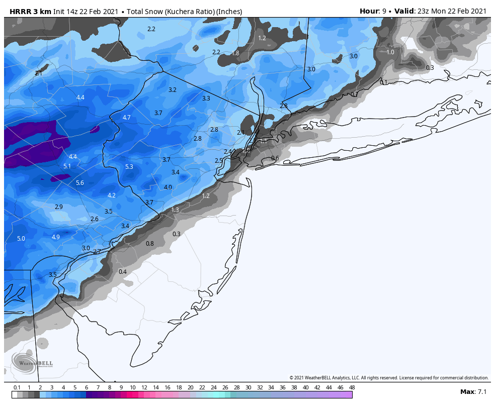
The main uncertainty regarding this system exists closer to the coast, and more specifically in the NYC Metro area. Forecast models are suggesting that snow will fall, but temperatures will be warm enough for the snow to melt either very close to the surface or as it hits the surface. Just a small change in temperature profiles, however, could lead to more snow than models indicate.
Our current forecast calls for a trace to 1 inch of accumulation in the NYC Metro area. Snow is likely to fall for periods of time this afternoon, but we don’t expect accumulation of much significance given warmer ground temperatures and temperatures in the mid 30’s at the surface as of the most recent observations.
Snow should begin to wrap up by early to mid afternoon across the entire area. As mentioned, the focus for accumulations is over Eastern PA, Western/Northern NJ and Southeast NY – just inland from the coast and NYC Metro. Expect partly cloudy skies to return before sunset.
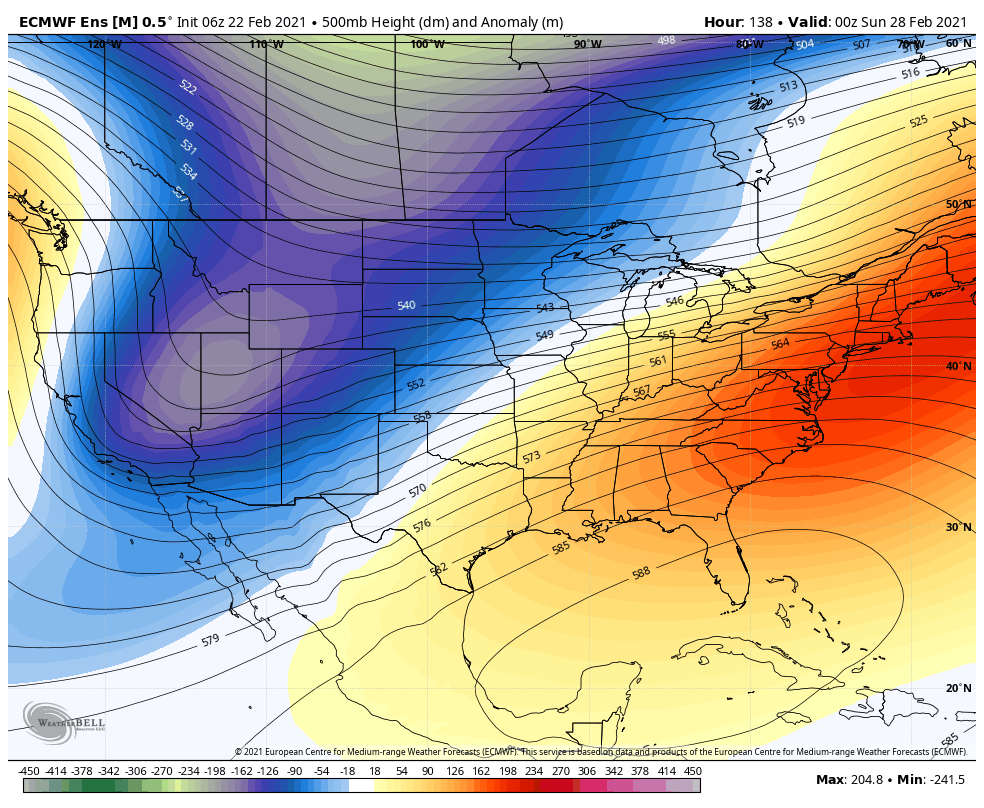
As we move towards midweek, the parade of winter storms will finally come to an end. Temperatures are likely to warm up near or slightly above seasonal averages, which will be a nice change after several days (and weeks) of below normal temperatures. Guidance suggests that temperatures could reach the lower 50’s on Wednesday.
Unsettled weather may return this weekend as a few disturbances move past the area, specifically from late Friday into Saturday. It’s uncertain whether these disturbances will bring hazardous weather to the region at this time, and forecast models have been inconsistent with their track and intensity. The weather pattern is not overly supportive of winter weather in our region – at least not nearly as supportive as it has been for the past month. Accordingly, at this time our confidence is far too low to begin discussing any winter weather related risks.
We’ll keep an eye out on the late week and weekend weather, but for now enjoy this mornings snow and the midweek warmth!
baran aydin
türk kahvesinin faydaları
Excellent goods from you, man. I’ve understand your stuff previous to and you are just extremely magnificent. I really like what you’ve acquired here, really like what you are stating and the way in which you say it. You make it entertaining and you still care for to keep it wise. I can’t wait to read much more from you. This is actually a terrific website.
Hurda bakır alan hurdacı firması olarak her türlü madeni değerinde alıyoruz. Hurda alım satımında lider konumdayız.