-2")

Fall weather is finally here, rain takes a hiatus for now
After what has been an unseasonably warm October so far, we have finally seen temperatures feeling more like Autumn over the past couple of days. A strong area of low pressure associated with the rain and cold front on Saturday has departed into Canada, dragging down cool, Canadian air behind it via northerly winds. A pressure gradient between this area of low pressure and high pressure in the Tennessee Valley will keep a blustery north wind in place this morning.
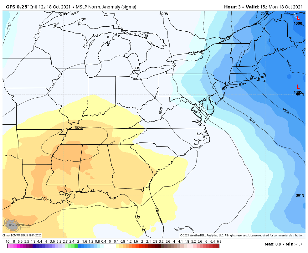
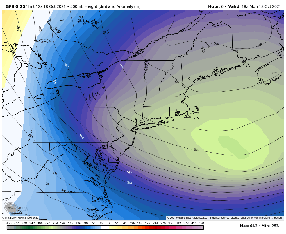
But with low pressure all the way up in Canada, why did we see spotty rain showers and clouds yesterday? The main reason is because the atmosphere is unstable, thanks to a large trough and a cold pocket of air in the middle of the atmosphere. We initially saw sunshine yesterday, which helps to warm the ground, and relatively warm air has a tendency to rise. Relatively warm air will rise even more quickly when the air above it is particularly cold, which it was yesterday. This degree of rising air leads to an increase in clouds and condensation for some spotty light rain showers. This effect is also called “self destructive sunshine” — meaning the sunshine helped contribute to the clouds that ultimately covered up the sun!
As the Canadian area of low pressure continues to move further away from the area, so will the cold air source that came with it. This means that temperatures will gradually warm up as the week progresses. The high pressure scooting east from the Tennessee Valley closer to our area will also allow for abundant sunshine, and the large trough lifting out should prevent any increase in afternoon clouds.
Thursday should see partly cloudy skies and highs near or even above 70 degrees, as we warm up out ahead of a new trough and frontal boundary. But this system does not appear impressive, and should mostly get shredded by our original high pressure. Still, though, a few light rain showers can’t be ruled out on Thursday night into Friday.
Behind that area of low pressure, temperatures should gradually cool down on Friday through the weekend. We are mostly expecting to remain dry, but another large trough similar to the one this past Sunday and Monday will approach, so a few stray light rain showers can’t be ruled out this weekend. But some sunshine is still expected, and a decent Autumn weekend overall.
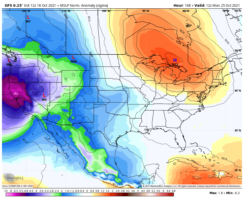
There are some early indications that large Canadian high pressure may move in behind that trough on Sunday into early next week, giving us our coolest air of the season, and widespread frost for NYC suburbs. More on that later in the week!
Hello my family member! I want to say that this article is amazing, nice written and come with approximately all important infos. I’d like to see more posts like this.