-2")
NYC Forecast: Warmth, humidity to return by this weekend
After several days of pleasant and low humidity weather, the forecast will trend warmer and more unsettled over the next few days. High pressure, which has generally controlled the areas weather since last weekend, will begin to weaken. This will allow a cutoff low to our south to begin moving northward.
We mentioned the importance of this cutoff low last weekend. Once it split off from the main jet stream, the cutoff low acted to deflect heat and humidity away from our area. The showers and clouds associated with it also remained over the Mid-Atlantic States – a win/win situation for us. The result was a prolonged stretch of comfortable, dry conditions.
As this system begins to drift northward, the expectation is that temperatures will warm and moisture will increase. The weakening high pressure north of our area will re-introduce the region to onshore winds and rising dew points. In the mid levels of the atmosphere, the area will once again become vulnerable to westerly flow aloft, allowing disturbances to approach the region more frequently.
In other words, a more typical summer pattern is at the doorstep.
Increasing humidity next week
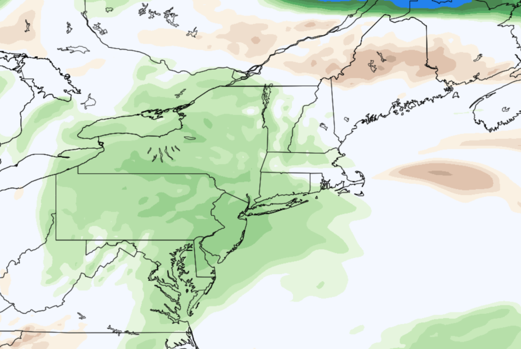
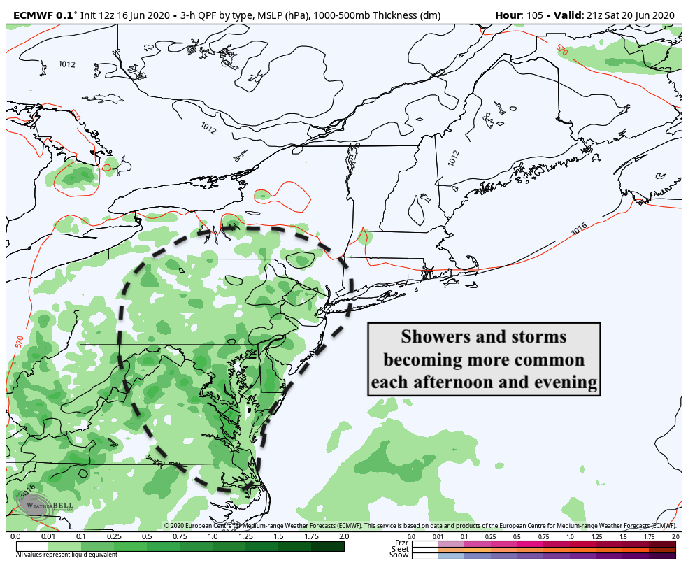
As the cutoff low lifts northward and the area becomes exposed to the mid level jet stream again, expect moisture and opportunities for showers and storms to increase. While we aren’t expecting any washouts, each afternoon and evening should feature the opportunity for showers and storms from Friday through Sunday. This will come as a noticeable change, with the airmass feeling much more humid and uncomfortable as well.
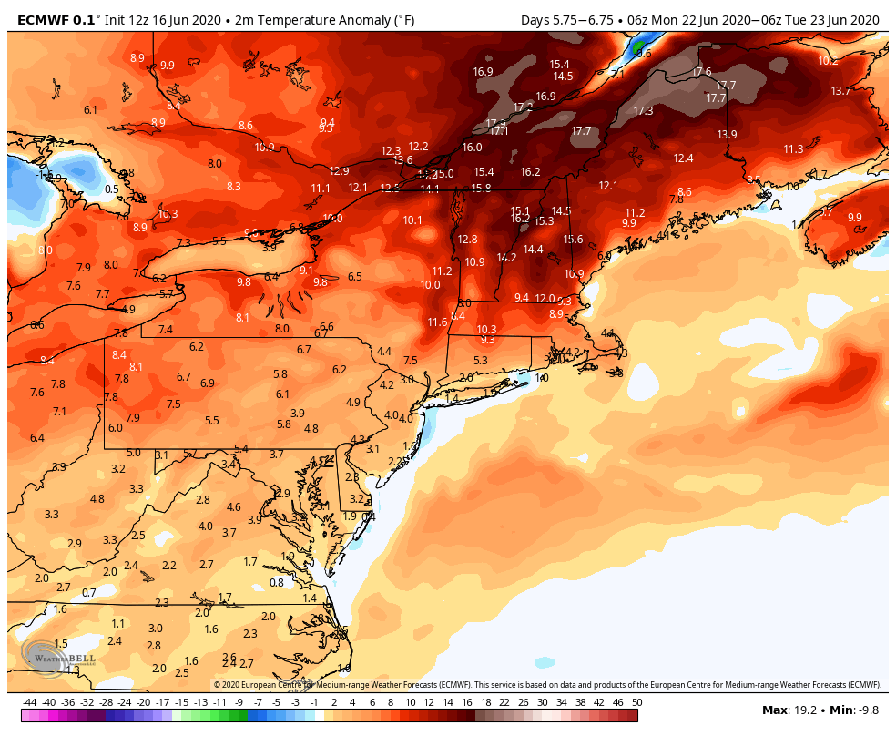
Most ensemble data is in good agreement that above an normal temperature and active precipitation pattern will persist into next week. In fact, the suggestion on some data is that afternoon shower and storm activity may build as we approach the middle of next week, with temperatures running several degrees above normal.
As we iron out the details of the forecast, one thing is clear: A much more typical summer pattern (featuring warmth and humidity with showers and storms) will be arriving in the NYC Metro Area very soon.
Leave a Reply
Want to join the discussion?Feel free to contribute!