-2")
Live Blog: Comet ISON’s biggest hour
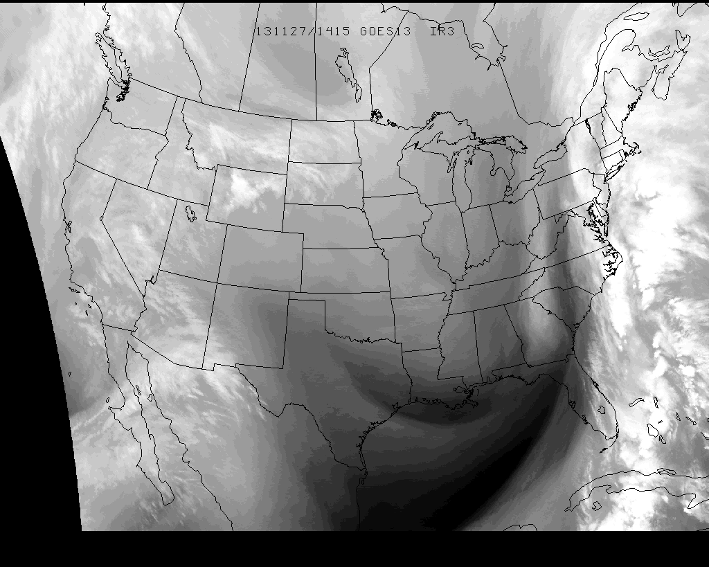
Comet ISON reaches perihelion today around 1:40pm Eastern time, and the tension is building as it heads towards the sun. ISON is currently experiencing the most hostile conditions it will in its lifetime, with intense solar wind, incredible temperatures, and ridiculous speed as it rounds the sun. The comet brightened dramatically yesterday, and the brightness was saturating NASA’s SOHO LASCO satellite imagery. But today, the comet has faded as it approaches the sun. In fact, the newest reported attempts of photometric of the center of ISON suggest “there may be no active nucleus at all anymore”.
ISON will reach perihelion today, and we will know the fate of the comet shortly thereafter. If it survives its trip around the sun, it may put on quite a show as it comes around the other side of the sun..and may be visible from earth during the first and second weeks of December. If not, the comet may not emerge and will not be seen again. Our live blog will follow along with new images and information over the next hour. So stay right here!
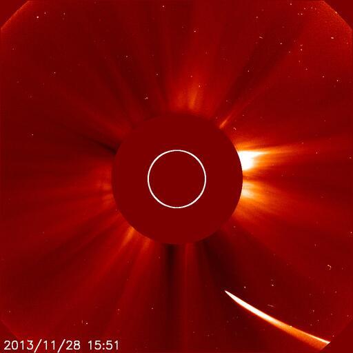
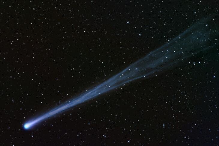
Comet ISON rounding towards the sun on November 28th, 2013.