-2")

End is finally nigh for humid hellscape in NYC
Millions of NYC Metro Area residents will finally not instantly begin sweating when they walk outside on Saturday morning.
A cold front shifting southward through New England will bring much cooler, less humid, very Canadian air with it. Dew points are forecast to drop from the 70’s today (that is oppressive) into the 40’s by Saturday (that is not oppressive). Northerly winds will also keep a refreshing breeze blowing through the weekend.
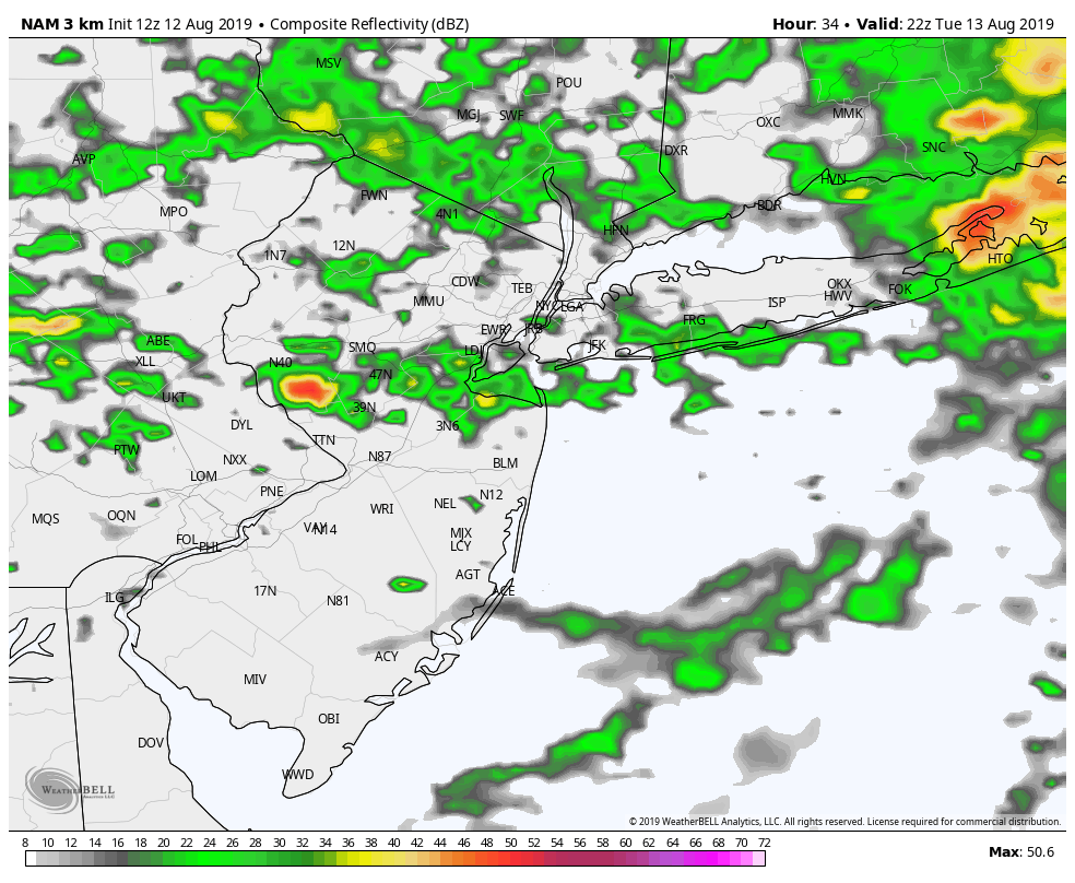
We’ll have to get through some more humidity and a few more storms first. A Heat Advisory remains in effect through tonight, with temperatures near 90° F and dew points in the 70’s leading to uncomfortable and oppressive conditions. Another round of storms is also expected this evening as a disturbance swings through.
Here are the highlights over the next few days:
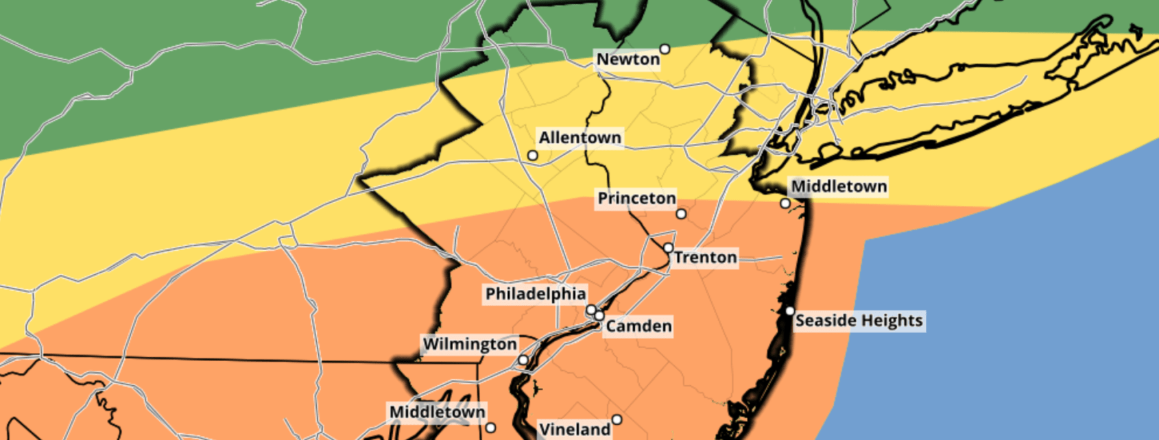
- Humid and hot again today. A Heat Advisory is still in effect until 8:00pm
- Storms are possible again, most likely after 7pm and into parts of the overnight hours
- A few storms could be strong or severe, and although widespread severe weather isn’t expected, any storm could produce strong winds and lightning
- A dramatic change in the weather is likely from Friday into Saturday as dew points fall almost 30° F
- Low humidity and sunshine is expected to continue through the weekend
