3/16 All Zones Evening Update on Possible Snow this Weekend

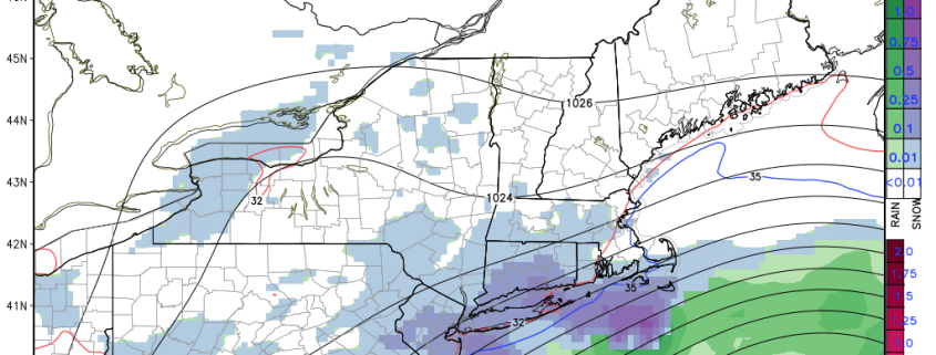
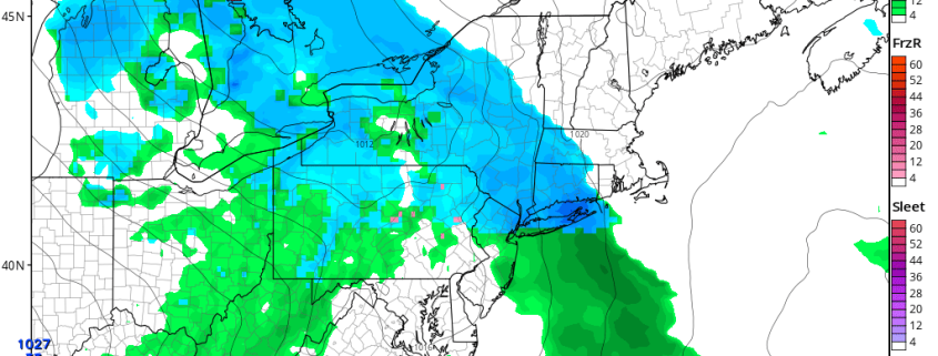
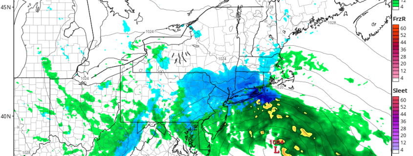
This is just a quick evening update on snow potential for this weekend. For Friday night and Saturday morning, not much has changed on model guidance today. After some sunshine most of day with highs in upper 30s to near 40, clouds will being increasing late tomorrow afternoon and evening. As an warm or occluded front approaches, Some light wintry mix of snow, sleet or rain may develop over parts of the region, later tomorrow night into Saturday morning. This is not expected amount too much for I-95 corridor or the coastal areas.

Read more

3/16 All Zones Noon Update/Snow Map: More Snow Possible This Weekend

Winter refuses to give up it’s hold on the Northeast United States. Cold and dry weather will continue over the next few days, as the area continues to sit underneath the influence of a large upper-level low centered near New Brunswick, Canada. Another storm system will likely impact the region from early Saturday onward. Precipitation from Saturday evening into Saturday will increase in coverage and intensity, with the possibility of snowfall accumulations throughout the area by Sunday morning.

Read more

3/15 All Zones Noon Update: Snow Showers Today…Wintry Mix Possible Friday Night into Saturday

After the big winter storm and Nor’easter yesterday, that brought 1 to 2 feet of snow to Interior, and more wintry mix to the coast, some what calmer weather returns for few days. Deep surface low pressure will continue to move north into Southeast Canada. Behind it are drier northwesterly winds, which will lead to clouds mixing with sunshine this afternoon withcold and blustery conditions. High temperatures this afternoon will reach into the upper 20s to lower 30s for most of the region.

Read more

3/13 Evening Zones Update: Blizzard with High Winds and Coastal Flooding Tuesday

While many people focused on blizzard with very heavy snowfall, there will other important hazards that come with this storm. The blizzard will also be a major Nor’easter with strong winds, especially closer to the coast, tomorrow morning and early afternoon. There will be tight thermal gradient between deep low off Delmarva coast and high over Southeast Canada. This will  will east to northeast winds sustained at least between 20-30 mph with frequent gusts up to 40 mph over much of the region. But there potential for even much higher gusts with strong easterly 850mb-950mb jet moving through the region.

Read more