-2")
Overview
Briefing
Hot and humid conditions will continue through Tuesday. Chances for showers and t-storms will increase as a cold front approaches on Wednesday. More comfortable warmth and humidity is expected late week.
Forecaster’s Discussion
Last Updated: 9:30am Thursday, July 26th 2019 by MP
Near Term (through tonight)
High pressure will provide mostly sunny skies today. 850mb temperatures around 12-13 C with deep mixing and light northwest downslope winds will support high temperatures closer to normal-in the middle 80s throughout much of the region. Humidity will still be relatively low, which will make for another beautiful mid-summer day.
Tonight, will remain mostly clear with light winds. This will result in more radiation cooling. Low temperatures are likely to in the mid 60s many of suburbs and in upper 60s to near 70 degrees in NYC and urban areas. Some of the far northern Interior valleys will likely drop into the upper 50s to lower 60s.
Hello
Weekend Forecast: Glorious Autumn weather with no smoke
A cold front will sweep through the region this evening, ushering in some of the coolest air of the season. Dew points will fall into the 20’s and 30’s, with high temperatures only reaching the 60’s on Saturday.
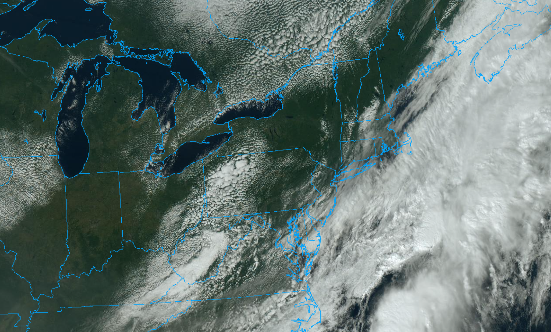
Hurricane Isaias entering the Bahamas, will impact US East Coast next week
The National Hurricane Center issued a special advisory late Thursday night to announce that Isaias has strengthened into a hurricane.
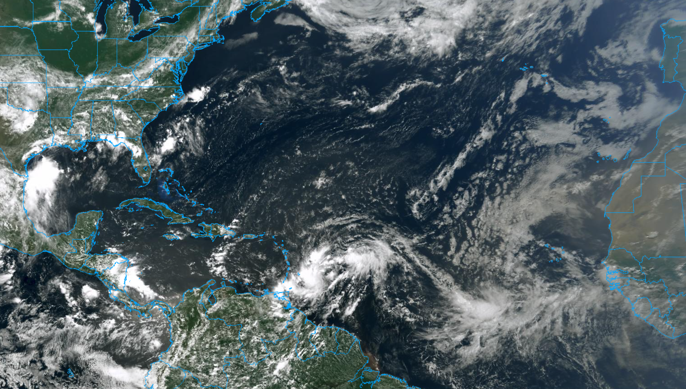
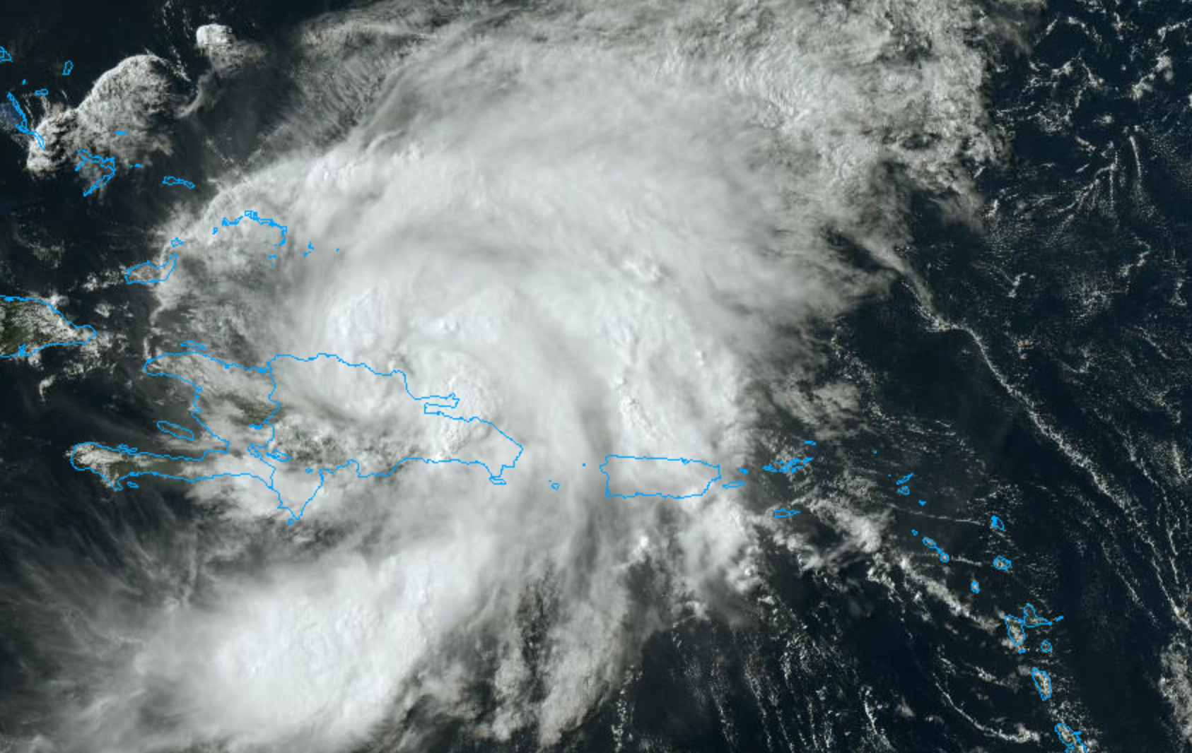
NYC Forecast: Warm and humid, PTC9 forms in Atlantic
Warmth and humidity will persist in the NYC Area for the next few days, with temperatures in the upper 80’s and low 90’s. Potential Tropical Cyclone Nine formed in the Atlantic today, and will move towards the Caribbean this weekend.