Heavy rain, blustery winds throughout today

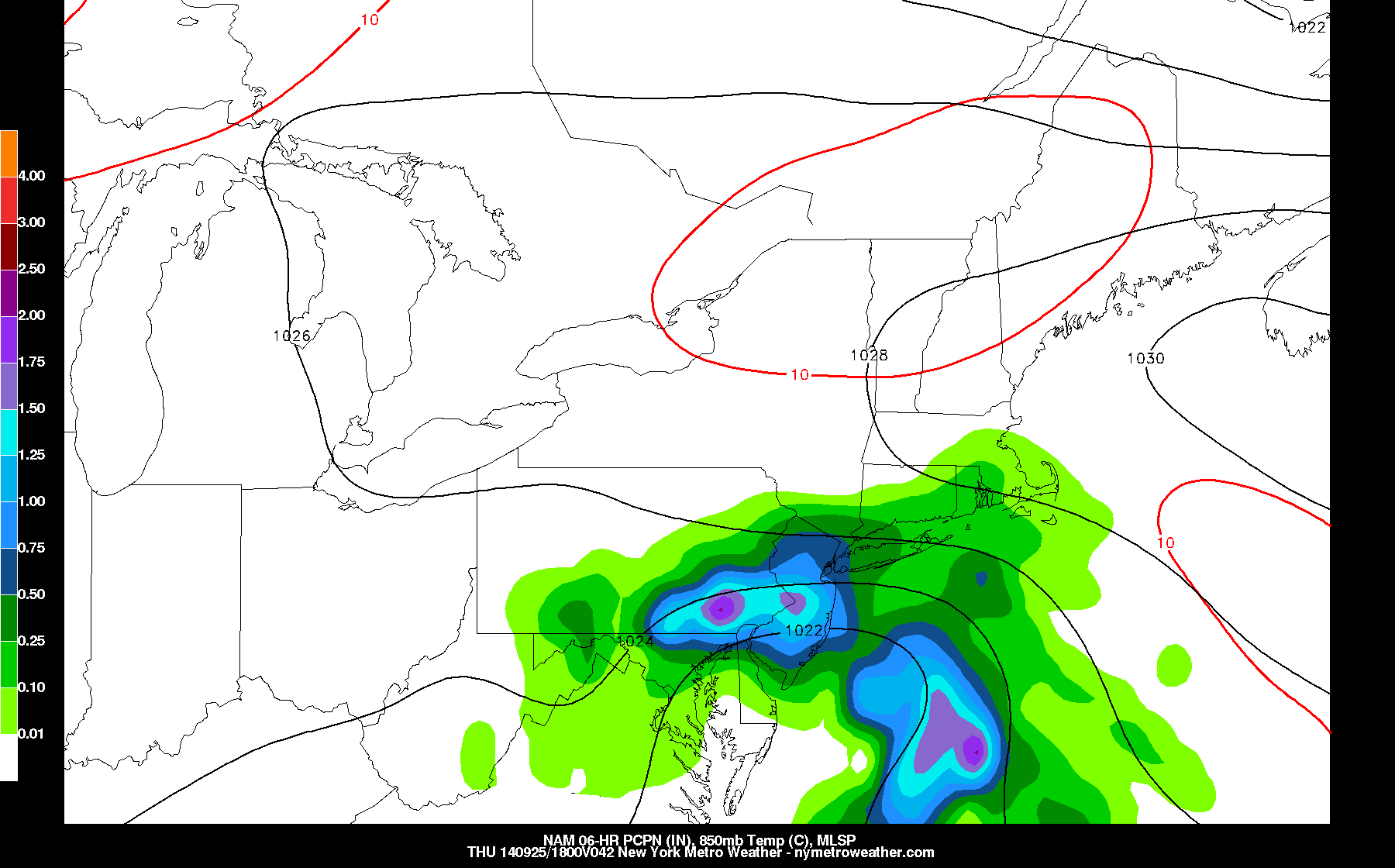
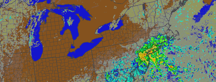
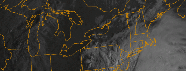
If for some reason you haven’t left your bed this morning or looked outside yet, well, first of all we’re jealous. But more importantly — it’s raining out there, pretty consistently. The culprit is a low pressure system sitting right near the Mid-Atlantic coast, one which we detailed a few days ago. Moderate to heavy rain, occurring as a result of mid level forcing and lift, will continue to push northward throughout the day today. The heaviest rain in New Jersey and New York City will occur during the late morning hours as the strongest support for precipitation pushes through.

A strong onshore flow, developing as a result of a high pressure to the north and the strengthening low pressure to our south, will continue to create blustery and gusty conditions as well as high surf. So the most raw conditions from this system will almost certainly occur near the area beaches. Still, moderate to heavy rain and wind can be expected throughout a vast majority of the area today — and temperatures will remain cool and damp.

Read more

A deeper look into the upcoming storm

Although confidence has increased in a coastal storm developing and giving the area plenty of rain and wind from late tonight through Thursday, there are still a lot of details that need to be ironed out. This is because the storm system is not truly a Nor’Easter, it will remain primarily disorganized, and the weather pattern aloft does not necessarily favor a strong storm system. Instead, we have a system that is forming during the climatological peak of the hurricane season, and it will initially be sitting in an area allowing for some tropical development. No, this will not be a tropical storm, but this will be a weak storm system with some tropical characteristics, rather than a true Nor’Easter. That will create a big headache for the computer models, since they tend to be better at forecasting Nor’Easters.

Last night's NAM Model showed plenty of rain for most of the region, but the storm system itself is very weak.

Last night’s NAM Model showed plenty of rain for most of the region, but the storm system itself is very weak.

Note how in the image above, there are surface pressures of 1030mb + sliding offshore of New England, but the storm system approaching is not very impressive. The “Low” Pressure is barely below 1022mb — these pressures in some weather patterns would be a high pressure! Areas of high and low pressure on a weather map are denominated relatively, not absolutely — meaning the lowest pressure in a certain area is the “low”, where counterclockwise motion forms and inclement weather is generally associated, and the highest pressure in a certain area is the opposite. But the fact that our “Low” is so high in pressure is a good indicator that the storm system itself is just not that impressive.

Read more

Coastal storm could spoil pleasant weather week

In a post yesterday, we touched on the fact that a few forecast models were honing in on the potential development of a coastal storm later this week. Those models continue to harp on that idea — and others have hopped on the bandwagon over the last 12 hours. The storm looks to develop as a result of a mid level disturbance, which will be shifting eastward amid a generally quiet mid level pattern — as a ridge builds over the Eastern United States. But the disturbance has a mind of its own, and it will shift from the Tennessee Valley to a position off the East Coast on Thursday.

A surface low pressure is expected to develop from Wednesday into Thursday — all forecast models agree on that. The exact track will obviously have big impacts on our forecast. Newer forecast models have continued the trend of strengthening the storm, and tracking the center of low pressure very close to the Mid-Atlantic coast. With a slug of moisture surging northward near the coast, this would mean increasing potential for moderate to heavy rain in our area on Thursday.

Read more

PM Update: Beautiful weather continues, autumn arrives

Monday was one of the most beautiful weather-days in recent memory and, fittingly, autumn will officially arrive tonight at 10:30pm. Temperatures on Monday reached only into the upper 60’s (lower 70’s in some spots) and the low humidity kept things very comfortable. There was even a bit of a chill in the air at times, as a dry west-northwesterly breeze blew during the afternoon. Autumn will arrive officially tonight just shortly after 10:30pm Eastern.

Sunset tonight will be due west — as the autumnal equinox occurs. Tonight, the sun can be seen a “zenith” before its rays shift into the southern hemisphere for the rest of the year. That means that starting tomorrow, until the middle of winter, the sun will continue to set farther and farther to the south on the horizon. And yes, it also means we’ll be losing much more daylight each day moving forward. In fact, by this time next month, we will have lost a full two hours of daylight at a pace of 2 minutes and 40 seconds lost per day.

Read more