-2")
Forecast: Clearing, cooler behind cold front
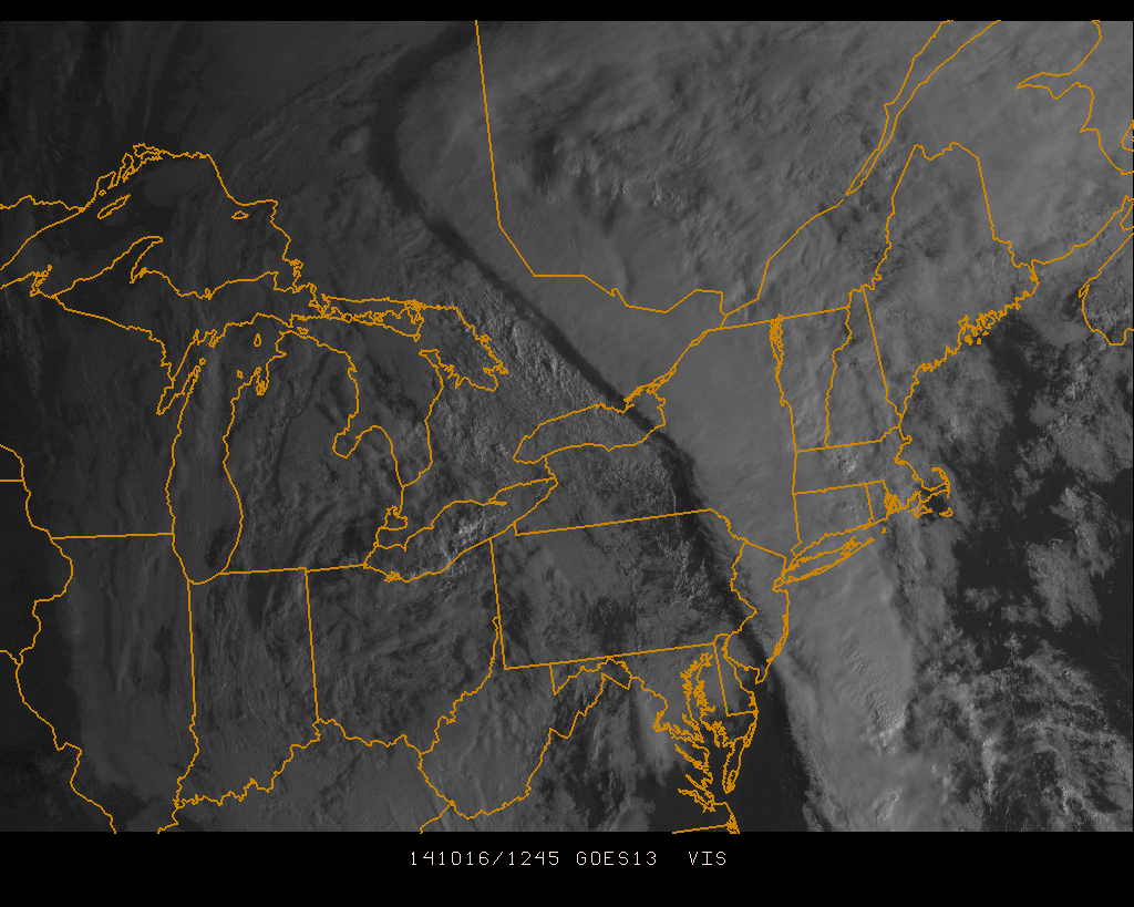
A warm, humid airmass surged into the region late on Wednesday ahead of a cold front. As expected, low level moisture moving north aided in the development of heavy rain overnight as lift for precipitation moved through our area. Rainfall totals were moderately high in many locations, but we were able to avoid widespread flooding due to the relatively progressive nature of the system. As the mid level disturbance moved northeastward, drier air moved through much of New Jersey and toward New York City this morning bringing an end to the steady rain.
On the periphery of this mid level disturbance is a cold front, which will push through the remainder of the area this morning after some additional rains fall on Long Island and Connecticut. Gone will be the southerly winds, and making a return will be drier, westerly winds this afternoon. Mid level temperatures, meanwhile, won’t exactly fall off the table until later tonight. So high temperatures today will still reach into the 70’s.
The wind-shift boundary associated with the cold front will pass through the area tonight. In short, this wind shift boundary will delineate the area where cooler and less humid air will begin. Forecast models are in good agreement that this will shift through the area after sunset tonight, with things cooling off impressively tonight. The NAM suggests lows in the 50’s in most areas, with some interior locations falling into the 40’s.
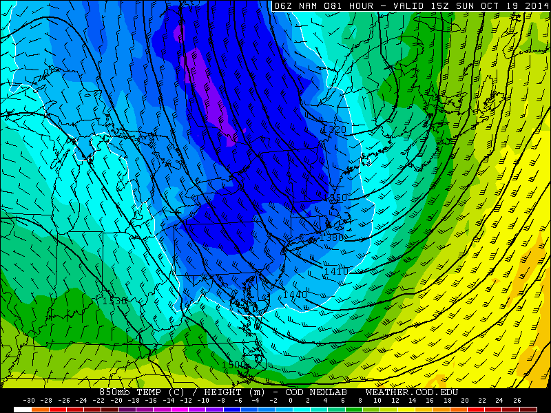
NAM model showing 850mb temperatures below 0c on Sunday morning.
Southerly winds will actually return briefly on Friday, ahead of a secondary cold front back to our west. But the airmass won’t be nearly as warm and won’t feature a ton of moisture, so highs will remain in the 60’s to low 70’s. The front will move through, possibly featuring some scattered showers, late on Friday. By Friday night into Saturday morning, blustery west winds will kick in — and late-autumn air will make its presence felt. High temperatures on Saturday will only reach into the mid 60’s with blustery west winds.
850mb temperatures falling below 0c from Saturday into Sunday will usher in one of the cooler airmasses of the season. Lows into the 30’s and 40’s will make for quite a cool Sunday morning, and highs may only reach the upper 50’s to low 60’s on Sunday afternoon as the airmass sits overhead without much modification.
Leave a Reply
Want to join the discussion?Feel free to contribute!