Hail, waterspouts and rainbows all made an appearance today

A developing coastal system produced an array of weather conditions throughout the area today. Beginning in the morning, showers and thunderstorms developed as a result of daytime heating at the surface and cold air moving in aloft. The developing system aided in lift which allowed for these storms to form. The cold air aloft, meanwhile, aided in not only the storms development, but the threat for some hail. As the storms progressed through parts of New Jersey and then out to sea, some low level shear allowed for waterspouts to develop.

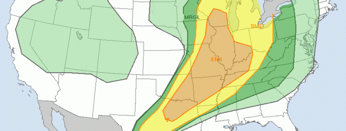
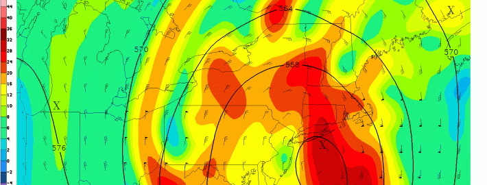
When colder than normal air exists in the mid levels of the atmosphere, developing thunderstorms will often produce hail as the ice in the cloud becomes much more thick than usual due to the colder temperatures. This often occurs in the transitional seasons of Spring and Autumn in our area, when cold pools move overhead and the surface can still become unstable.

Meanwhile, scattered showers and storms continued to develop throughout the area during the afternoon hours. Multiple rainbows were seen throughout the area. Currently, a convective system south of Long Island is moving northward toward the Central and Eastern parts of the Island. Stay tuned to our Twitter account for up to the minute information on these storms.

Read more

SPC Outlooks will change starting this Wednesday

The Storm Prediction Center has used the same risk categories for a large part of most of our meteorological careers. Although they have adjusted the probabilities, percentages, and yes even the colors — the categorical risk areas have remained the same. On this coming Wednesday, that will change. The Storm Prediction Center currently uses a simple categorical risk system which highlights the potential for severe thunderstorms across the country. The risk areas of Slight, Moderate and High are triggered by percentage chance of a type of severe weather within 25 miles of any point. And while the newer outlooks also highlight the potential for general non-severe thunderstorms across the country, Wednesday will mark a dramatic change in the way these outlooks are viewed and understood.

The main change will be the addition of two risk levels, both falling on opposite sides of the “Slight” risk of severe thunderstorms. “Marginal”, a new risk category, will highlight the potential for severe thunderstorms that includes a 5-10% chance of wind and hail and a 2-5% chance of tornadoes — but does not trigger a Slight Risk. “Enhanced” falls on the other side of “Slight”; in other words the risk levels are enhanced (30-45% risk) but not organized or widespread enough to trigger a Moderate Risk.

Read more

Frost and freeze conditions tonight, unsettled next week

After a beautiful Saturday, a cold front charged through the region on Saturday night, leading to much colder temperatures last night and today. The airmass has that true fall/early winter “crisp” feel, as it is very cool and dry. The dry conditions along with clear skies and light winds tonight will allow temperatures to continue to plummet. Because of this, the National Weather Service has issued Frost Advisories and Freeze Warnings for much of the area. Low temperatures will be in the upper 20s to low and mid 30s for much of the region. Closer to the city, however, temperatures will remain in the upper 30s, due to the Urban Heat Island effect. Make sure to bundle up tonight and tomorrow morning!

Temperatures will rebound relatively nicely tomorrow, reaching the upper 50s to around 60 — about five degrees below average. Skies will also be mostly sunny, so tomorrow looks to be the “good” day of the week, as conditions will gradually become unsettled starting on Monday night.

Read more

Live Blog: Dangerous Gonzalo heads for Bermuda

With benign Autumn weather in place throughout our area today — it actually will be a beautiful day with temperatures in the upper 60’s and lots of sun — our attention turns to Category 4 Hurricane Gonzalo, which is making a bee-line for the island of Bermuda today. Evacuations have already occurred and Hurricane Warnings remain in effect. The National Hurricane Center anticipates winds over 125 miles per hour, dangerous storm surge, dangerous surf, and widespread flooding and damage. Our live blog will update throughout the day with new information as we get it.

Read more