-2")
Gradually increasing clouds will lead to an unsettled week
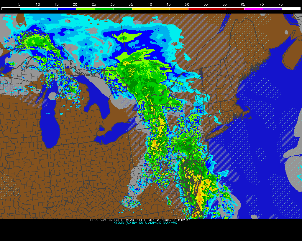
The same storm system that gave Arkansas a powerful tornado last night, and will very likely be giving parts of the Mississippi Valley more powerful tornadoes, will be very slow to drift northeastward, thanks to an Omega blocking pattern. This will eventually usher in a multi-day period of rain, starting tomorrow afternoon, and lasting through Thursday.
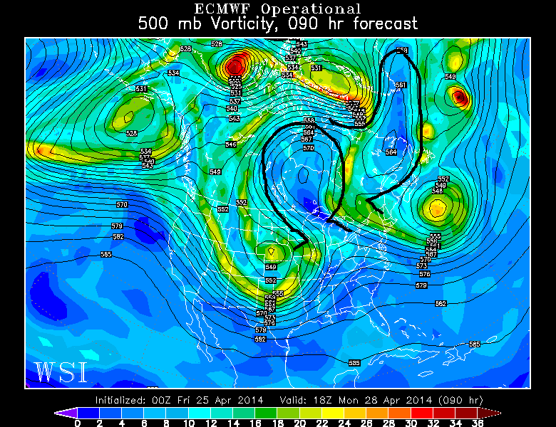
What is currently a large, cutoff trough will cut off even more from the general jet stream flow over the next day or so, as it very slowly drifts northeastward. This allows it to remain to the west enough to be able to generate Gulf of Mexico moisture, but far enough to the northeast for it to reach our latitude. Had the storm been smaller in scale, the moisture would not have been as expansive in nature.
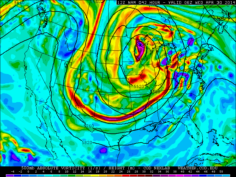
Today’s NAM at 500mb, valid for 2:00am Wednesday morning, shows a large cutoff low dominating the United States, which will be bringing plenty of clouds and rain during this work-week (weather.cod.edu).
Notice the large storm system that will be in the Upper Midwest, and all of the closed, circular 500mb height contours wrapping around it. This indicates a large cutoff low that is slow to move, which is mainly triggered by the large Omega blocking to the north of the system. For more on Omega blocking, check out our article from Friday. The most efficient lifting for precipitation tends to occur on the east side of a trough, which is exactly where we will be. Also notice how to the east of the trough, the height contours are oriented from the Gulf of Mexico, straight northeastward towards our area. That will be the general track of the rain.
Let’s move forward with more details on the rain itself and its timing.