-2")
Periods of light snow likely this weekend
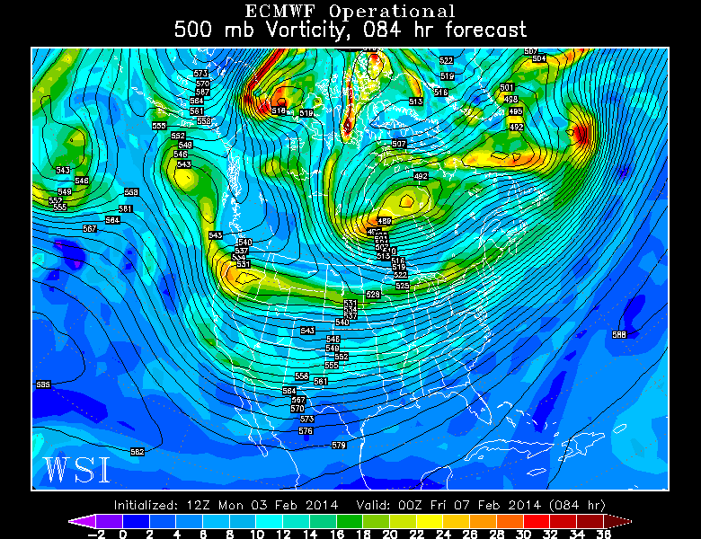
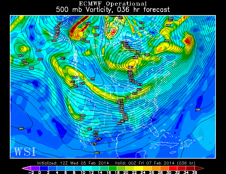
Amidst an active pattern, featuring multiple disturbances aloft and a very fast jet stream, several low pressure systems are expected to pass near or through the area during the upcoming weekend. Despite the lack of the media/internet created 30″ snowstorm, there will still be a few chances for snow over the next few days as we have alluded to in our previous posts. A piece of the polar vortex spinning well to our north over Southeast Canada will keep the rotation of Pacific disturbances fairly fast, so we aren’t expecting the development of any slow moving or major systems. But as we saw this past Monday, even the quicker storms can sometimes surprise us.
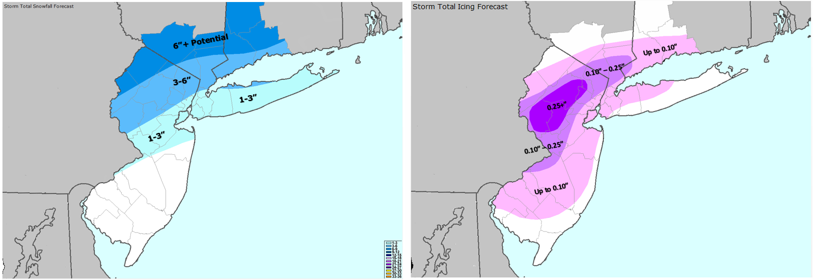
The first system will pass offshore well to our south on Sunday, with the low pressure center exiting off the Carolina coast and then eastward. Impacts to our area are expected to be minimal, but some forecast models indicate the potential for an inverted trough (more about those here) with light snow reaching parts of Southeast New Jersey. Impacts, if any, will be minimal. Another disturbance on its heals by Monday is more likely to provide at least an area of steady light snow for most of us — with the isolated chance of a stronger coastal system developing.
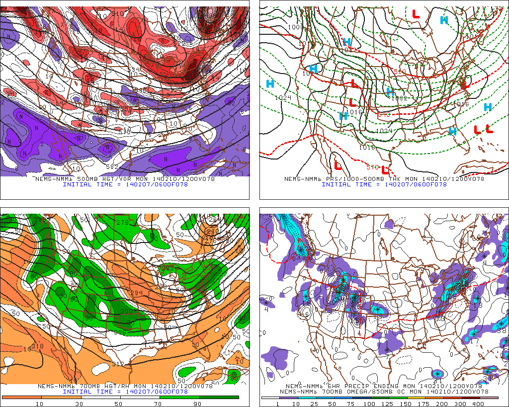
NAM model forecasting the development of light to moderate snow throughout the area late Sunday into Monday.