-2")
Monday Overview: Beautiful weather starts the week…more muggy by Wednesday
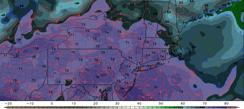
Beautiful weather will continue today with high pressure from the Great Lakes building into the region. It will be mostly sunny with temperatures rising into the middle to upper 80s and comfortable humidity. This weather is expected to continue — as Tuesday will be another gorgeous day as temperatures reach the middle or upper 80s again with humidity still not high. Coastal areas may be a few degrees cooler with some marine influence.
However, more muggy weather and likely more heat will be arriving later this week, with an upper-level ridge building over the region. A frontal boundary and some mid-level disturbances may lead to more showers and thunderstorms with potential for some heavy rainfall beginning on Wednesday. If there is enough sunshine, a more southwesterly flow will cause temperatures to exceed 90 degrees by late this week. Regardless, heat index values alone could still be the 90s with the higher humidity. Some other highlights for today:
- Surf zone forecast: There is a moderate risk for rip currents on Oceanside beaches today with more south winds later this afternoon.
- Baseball fans: the Mets and Yankees home games later this week could possibly be impacted by showers and thunderstorms. Stay tuned our Sportscast page for more updates this week.
- Unfortunately for star-gazers, some clouds from showers and thunderstorms may be around for the Perseid meteor shower peaking on Thursday and Friday.
For more updates on the forecast this week, video discussions, and long-range outlooks up to 4 weeks, sign up to become a Premium member today!