Monday Musings: Changeable Weather This Week

Summer officially starts at 6:34pm today! The weather will cooperate, and it will certainly feel likely summer over the next few days throughout the area.

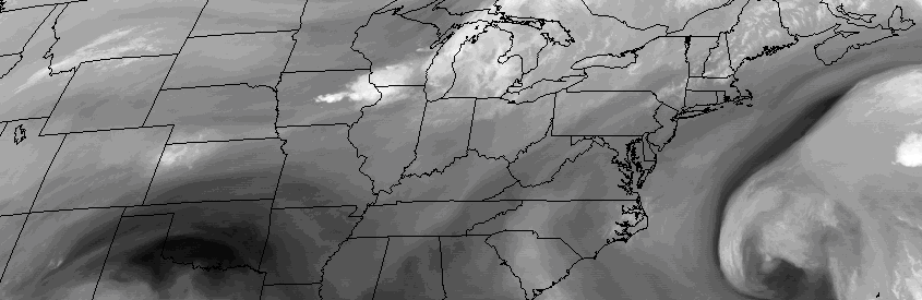
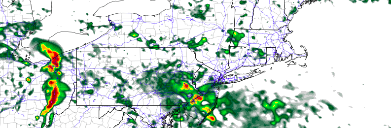
Our stretch of pleasant, sunny and very warm weather will continue to start the week. Temperatures over the NYC metro will likely reach the lower to middle 80s by early this afternoon underneath plentiful sunshine. Sea-breezes again this afternoon will cause a wide range of temperatures when comparing the area shores to inland locations.High temperatures are expected to range from the middle to upper 70s over Long Island and New Jersey shore, to the upper 80s to near 90 over inland areas of New Jersey.

Read more

Premium: Cooler than average trend to persist through June

While many long range forecasts have been banging the “heat drum” for several weeks now, that heat has yet to materialize in any fashion throughout the Northeast United States during the first few weeks of meteorological summer. The next few weeks, additionally, are unlikely to offer any chances for prolonged heat or above average temperature departures.

In fact, there are growing signals, from both the hemispheric pattern evolution and climate phenomena, that below normal temperatures and unsettled conditions may return to the area to close out the month of June.

Read more

Weekend Overview: Pleasant, warmer conditions

With a cutoff low forming off the Southeast US Coast, and a disturbance looming in Southeast Canada, one might assume that unsettled weather would dominate this weekend’s forecast.

They would be wrong.

High pressure nudged in between those two aforementioned disturbances will keep our area in the midst of very pleasant conditions for the majority of the weekend. In fact, temperatures are expected to warm up into the upper 80’s and lower 90’s by Sunday, with plenty of sunshine anticipated throughout the area.

Read more

Thursday Overview: Unsettled start, nicer finish

The long stretch of sunshine and pleasant weather has ended! Well, sort of. A disturbance passing by this morning will bring periods of rain to the area, especially areas south and west of New York City. While clouds and showers will stick around for parts of the morning, clearing is expected as the day progresses.

Forecast models show the cloud deck meandering near the city itself, with partly to mostly cloudy conditions over Long Island and Connecticut. Meanwhile, much of Central and Southern NJ will battle showers until the late morning or afternoon hours. Once this disturbances slides seaward, however, clearing is expected throughout the area.

Read more