Friday Chill Gives Way to a Warm Weekend

The chilly high pressure system to the north will have one more day of influence before it finally gives way to a very mild weekend. The high pressure is currently sliding out to sea, which will shift our winds to the east and south, but with ocean temperatures so cold this time of year, it can still lead to chilly temperatures. As this high pressure slides further east and away from us, a warm front will approaching the area from the west. This combination will lead to high and thin clouds increasing as the day goes on. Generally, high temperatures will be around 40 degrees.

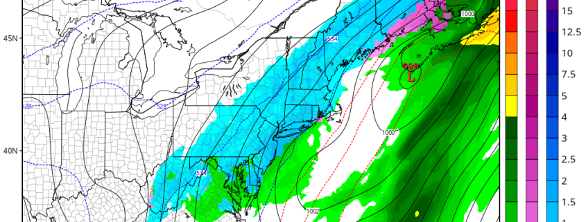
The warm front will be moving through the area tonight. A weak area of moisture out ahead of it may be able to trigger a few rain and snow showers during the overnight, but we are not expecting any accumulations — a slight chance for a slushy coating in some cold surfaces north of the city. Temperatures will generally hold in the 30s tonight as a much milder mid-level airmass moves in once the warm front swings through.

Read more

(Premium) Upcoming storm has many possible solutions

While we currently are basking in clear skies and chilly northerly winds, the main talk in the meteorology community has been on the potentially  large storm system to affect the eastern half of the US between February 23-25. A few days ago, there was pretty significant model agreement on the storm and the general details — which is quite surprising given the lead-time. Not surprisingly, this agreement has completely reversed and now we have wildly different solutions on every model, all of which have validity.

Let’s get to it.

Read more

Cooldown tomorrow, warm weekend

After a powerful storm moved through the region yesterday, cool, but not cold air moved in behind it, as temperatures dropped back into the 40s for highs today. The weather looks to generally be pleasant, but some leftover shortwave energy behind the storm will trigger enough lift to keep skies mostly cloudy for most of the day.

This shortwave energy has triggered a weak cold front, which will move through the area tonight. This is when a brief return to “winter” will truly be felt, as temperatures will drop back into the 20s tonight. Lift in the atmosphere will have a lid, thus clouds should clear.

Read more

(Premium) Winter storm threat next week

Forecast models continue to show a classic pattern progression across the Northern Hemisphere over the next several days, with a continuation of a wave progression that favors the development of a Western USA ridge and Eastern USA trough by the beginning of next week. The redevelopment of this large ridge in the Western USA, extending northward into British Columbia, is expected to be the focal point for the potential development of a storm system in the Eastern USA between February 24th and 28th.

Read more