4/02 All Zones PM Update: Two Heavy Rainfall Events Likely This Week

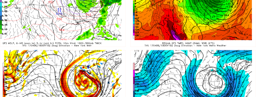
Good evening, everyone! Just an quick update on forecast for this upcoming week. More pleasant weather is store for tonight and tomorrow with high pressure still in control. But more inclement and potentially hazardous weather is on the way by late  Monday night! Skies likely clear to partly cloudy tonight with some high clouds streaming into region form the northwest. Overnight low low temperatures will be mid-upper 30s in many of the suburbs to lower 40s in NYC and other urban areas. Some of Interior valley and Pine barrens may radiate well tonight, dropping into upper 20s to lower 30s.

Read more

4/02 All Zones AM Update: Pleasant Weather Today, More Rain Late Monday night into Tuesday

Happy Sunday! Finally again more sunshine and blue skies has returned! High pressure will be in control through today and Monday with more pleasant, warmer and drier weather. But the pattern continues to be active. Another storm system which will is causing some severe weather over Deep South will head our away for late Monday night and Tuesday with more heavy rainfall likely for the local region.

Read more

Significant Severe Weather Threat for the Deep South Sunday

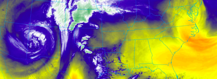
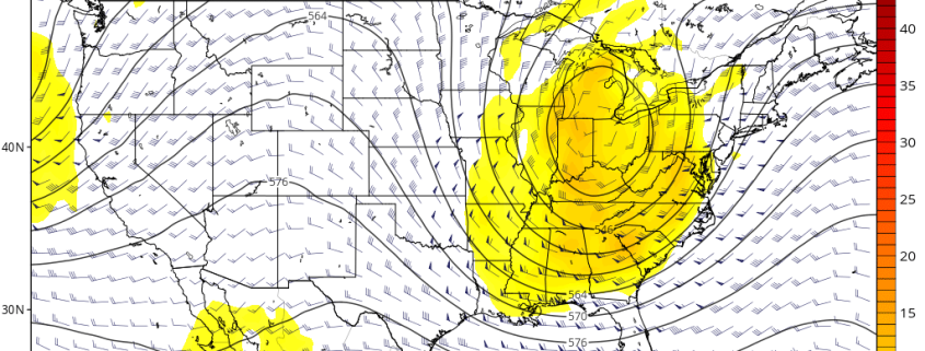
For several weeks now, we have been discussing the likelihood of an active pattern developing throughout the United States — in particular, the potential for severe weather. That pattern has finally arrived over the past several days, and another in a series of potential severe weather events is expected to unfold on Sunday across the South Central United States in parts of Texas and Louisiana on Sunday.

The potential for severe weather, while in a higher-end space than an “average” event, features considerable uncertainties even at this short range forecast juncture. We detail the intricacies of the setup and how we expect things to evolve on Sunday below.

Read more

4/01 All Zones AM Update: Dreary Start to the Weekend, Active Pattern Continues Next Week

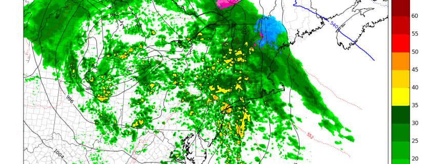
Happy Saturday and welcome to April! Unfortunately this weekend and month is off to another dreary start. Low pressure that has brought over 1″ of rainfall to much of the region since Thursday night, is now moving slowly offshore. A mid-level dry slot has cause steadier rain (and wintry mix well north) overnight to taper off this morning some light rain or drizzle. Some areas of fog have also developed. These cloudy and damp conditions will likely continue for much region into early this afternoon, with perhaps some additional showers from a upper-level trough coming through for northern areas.

Read more