-2")
Public Analysis: Stormy Start to the Holiday Weekend, Possible Break for the Fourth of July?
Good Evening!
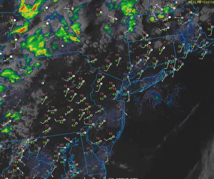
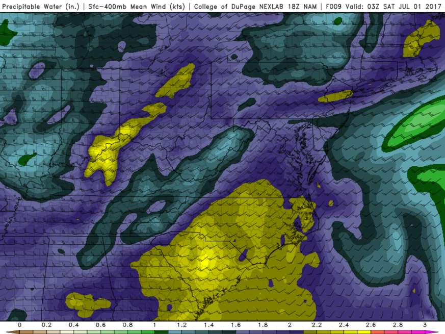
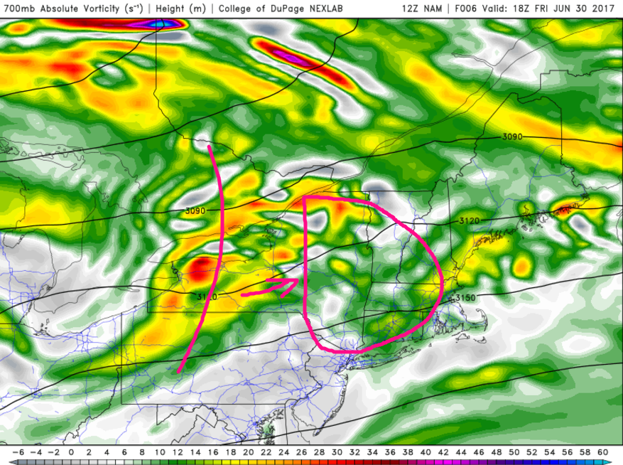
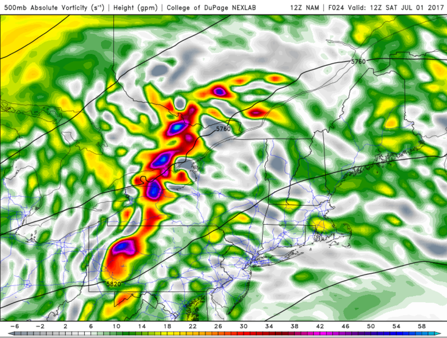
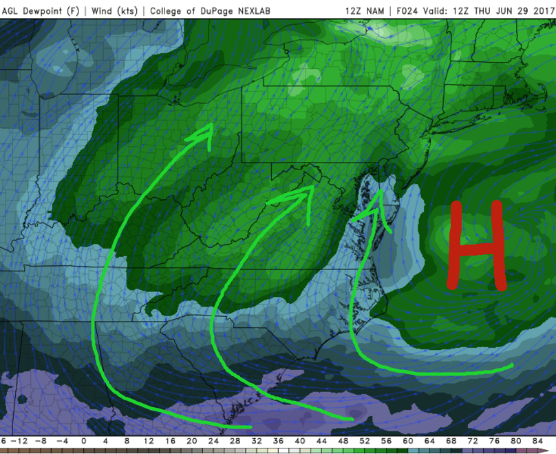
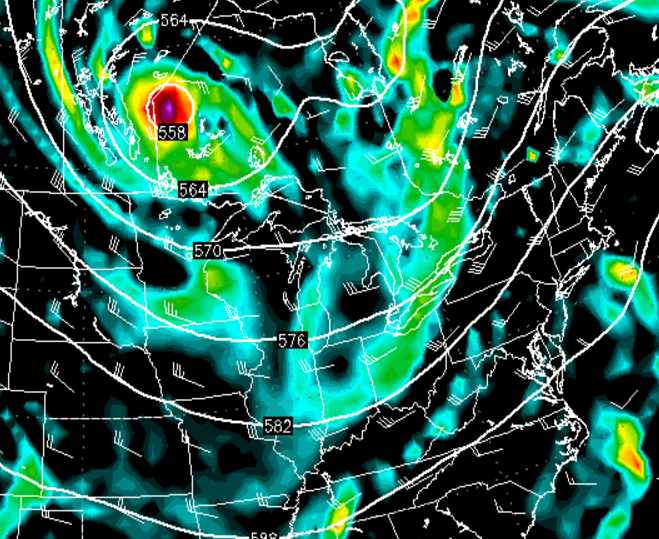
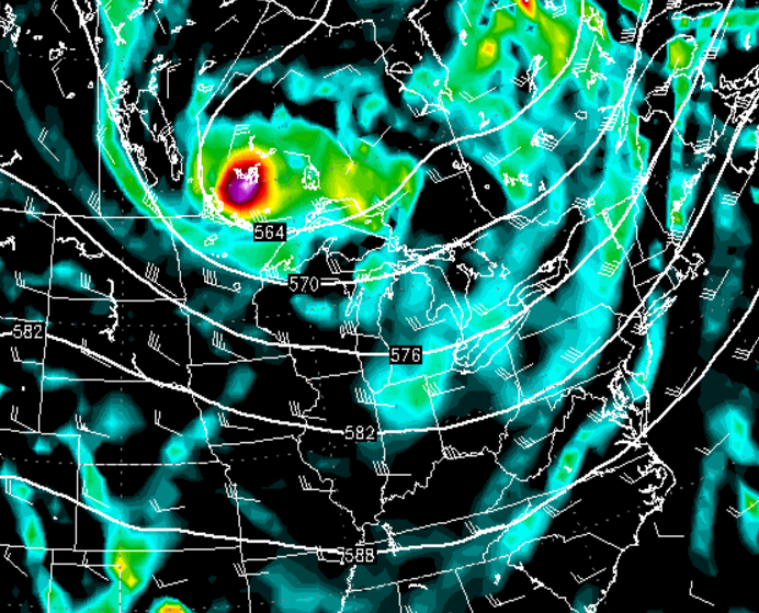
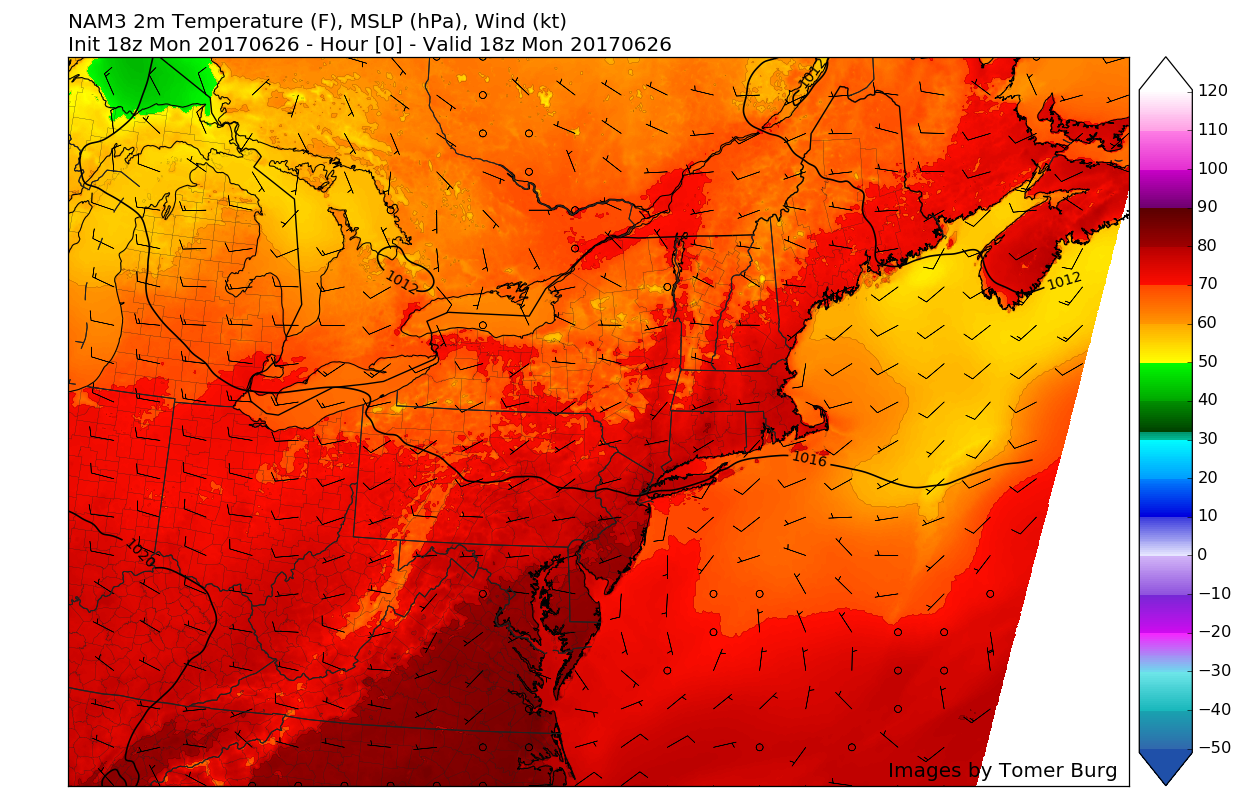
As was mentioned all the way back on Monday, today has featured quite an extensive development of showers and thunderstorms over much of the Northeast. These storms were fueled mainly by the built up heat and humidity which created modest levels of instability to build during the afternoon hours today. Additionally, the storms were aided by strong vertical wind shear in the atmosphere, which helped some storms to produce damaging wind gusts, and even some rotation which prompted at least three tornado warnings. Radar images also indicate that there is a rather high amount of moisture in these showers and thunderstorms, which can be attributed to the impressive resurgence of tropical moisture over the area that occurred yesterday when the high pressure that was over our area on Tuesday began to back away to our east, causing winds to surge from the south. As opposed to most days this year that featured decent convective development, these storms were generated by a strong mid level short wave at around 700mb, in contrast to the traditional cold front.
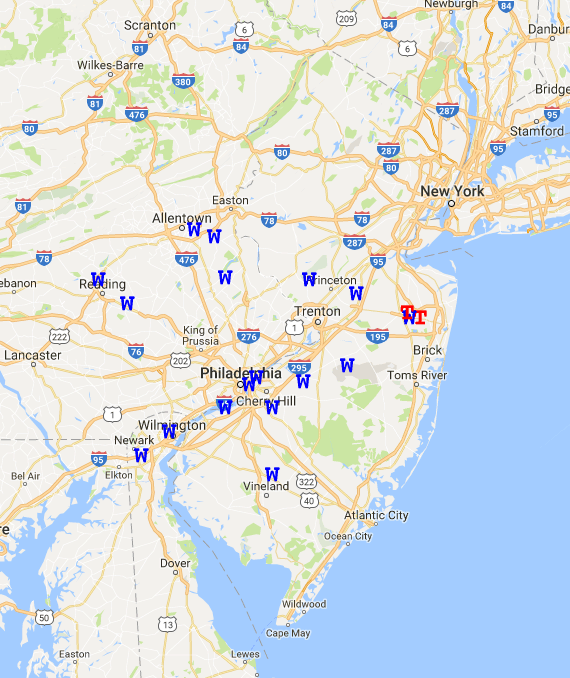
While the vast majority of any actual severe weather was confined to areas well north and west of our area, some locations in southern New York and portions of Connecticut did see some wind damage, frequent lightning, and very heavy rainfall. As the evening rolls on and the sun gradually fades away, the heat and instability that we had will begin to drop off quite significantly, and any remaining strong storms will weaken below severe limits, while heading generally eastward. Some storms in southern Connecticut may still be capable of producing damaging winds as they feed off residual instability and favorable parameter space that had not been touched by previous cells.
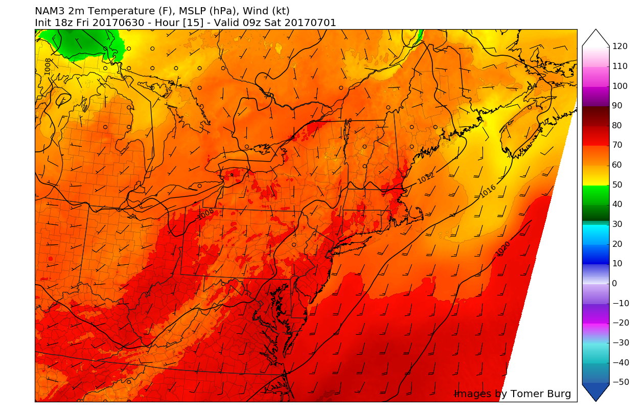
The rest of the evening should feature improving conditions, with partly cloudy skies likely for most of the area. Due to the lack of a coherent frontal system, the humid airmass that spawned these storms will linger around and make for another muggy night, with lows likely staying in the lower 70’s and into the middle 60’s.
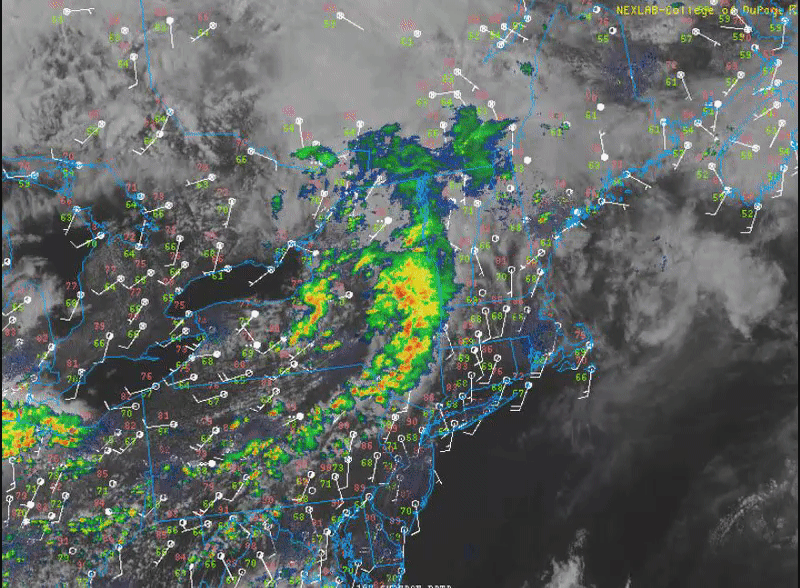
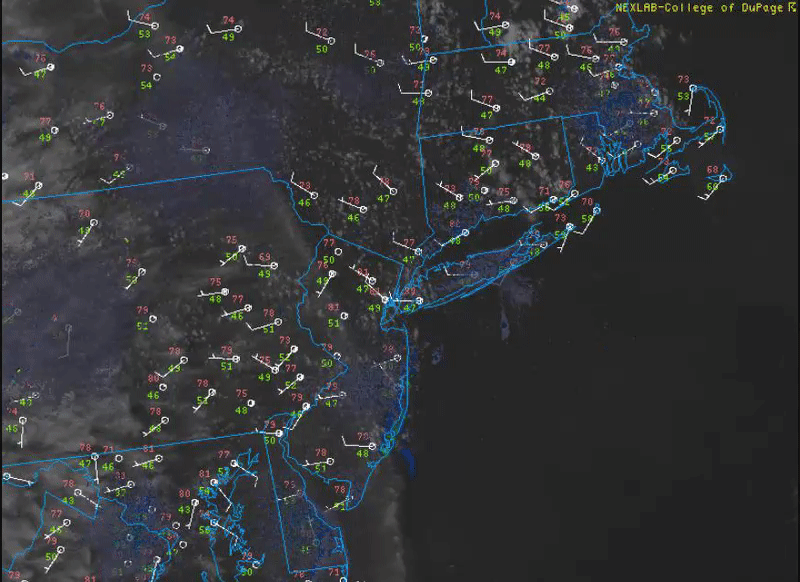
Animated loop of the evenings latest regional radar mosaic, regional surface observations, and high resolution visible satellite imagery (Courtesy of College of DuPage)
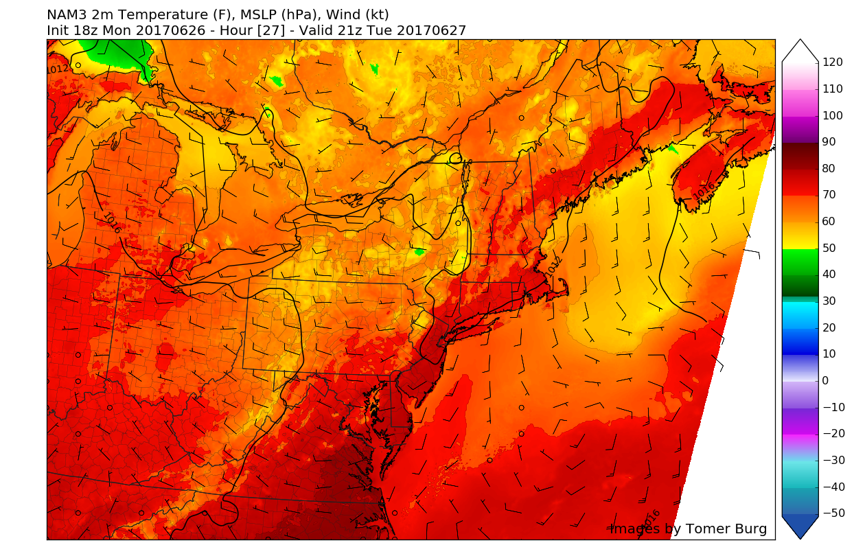
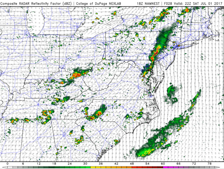
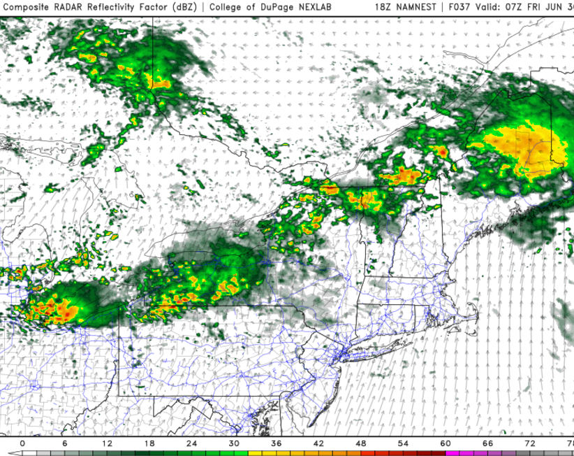
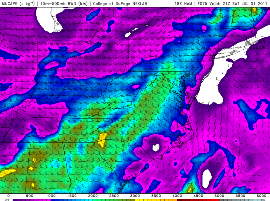
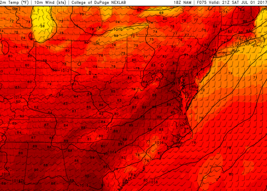
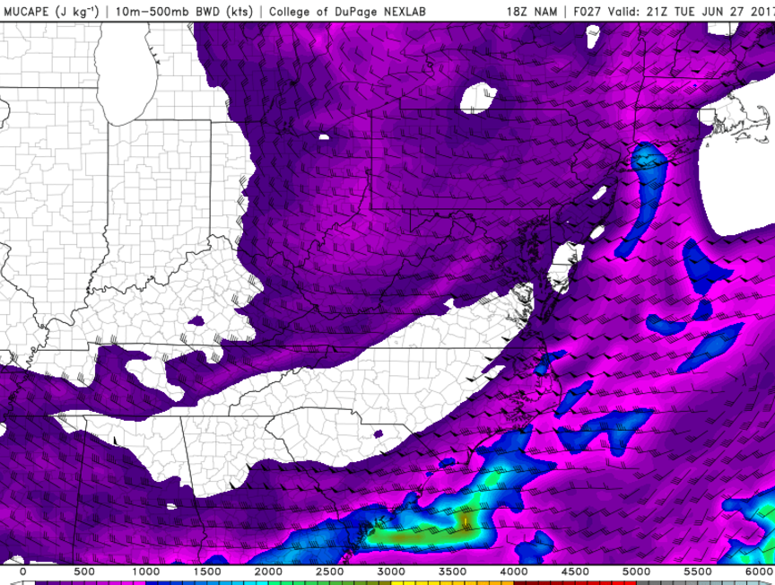
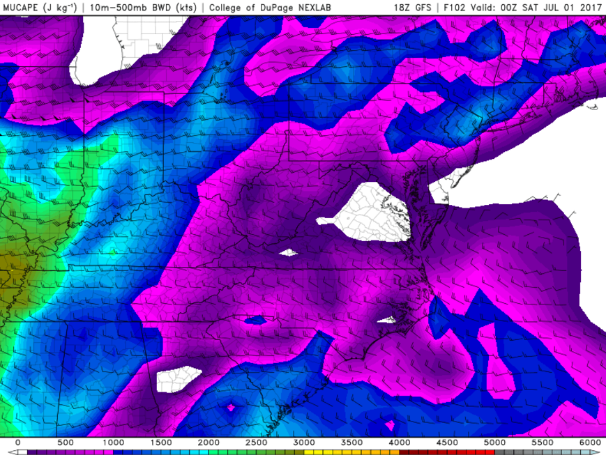
Saturday should start off quite nice, with a mix of sunshine and scattered clouds to start off the day. Although, with warm mid level temperatures, winds from the south, and a humid airmass in place, the conditions will be ripe for temperatures to quickly rise into the upper 80’s and even pass the 90 degree mark in locations like NE NJ and SNY. As we go through the late morning and early afternoon hours, a shortwave trough and associated cold front will be working its way east towards the area. This will set the stage once again for instability to begin to pool up ahead of the frontal system, which will act as a forcing mechanism for thunderstorm development later into the afternoon. Like today’s threat, the best wind shear and parameters are likely to stay to the North and West of the immediate New York City area, but more isolated strong storms will be possible towards the area as the day progresses on. The main threats tomorrow appear to be gusty winds, frequent lightning, and very heavy rainfall. Due to this risk, the Storm Prediction Center in Norman, Oklahoma has placed locations to our north and west in a Slight Risk for severe thunderstorms.
Showers and storms may continue to longer through the late afternoon and evenings hours as the lift associated with the cold front will trigger additional shower and possible thunderstorm development if there is any left over instability to work with. The main threat from these storms later in the day appear to be confined to gusty winds and heavy rain. Lows tomorrow evening will remain quite warm, with upper 60’s and lower 70’s likely.

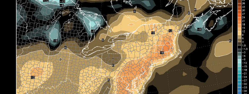
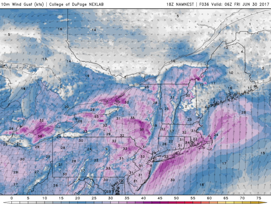
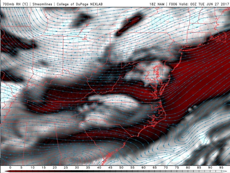
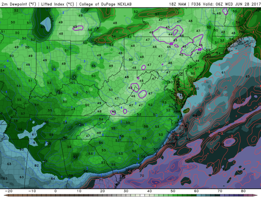
This evenings latest Rapid Precision Model, showing scattered showers and thunderstorms developing mainly to the north and west of the city tomorrow afternoon/evening (Courtesy to WSI)
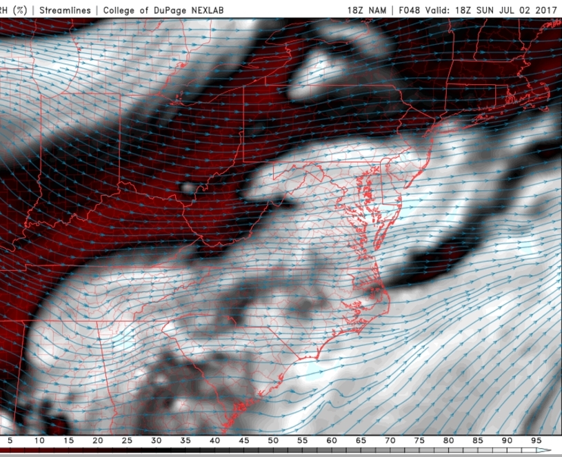
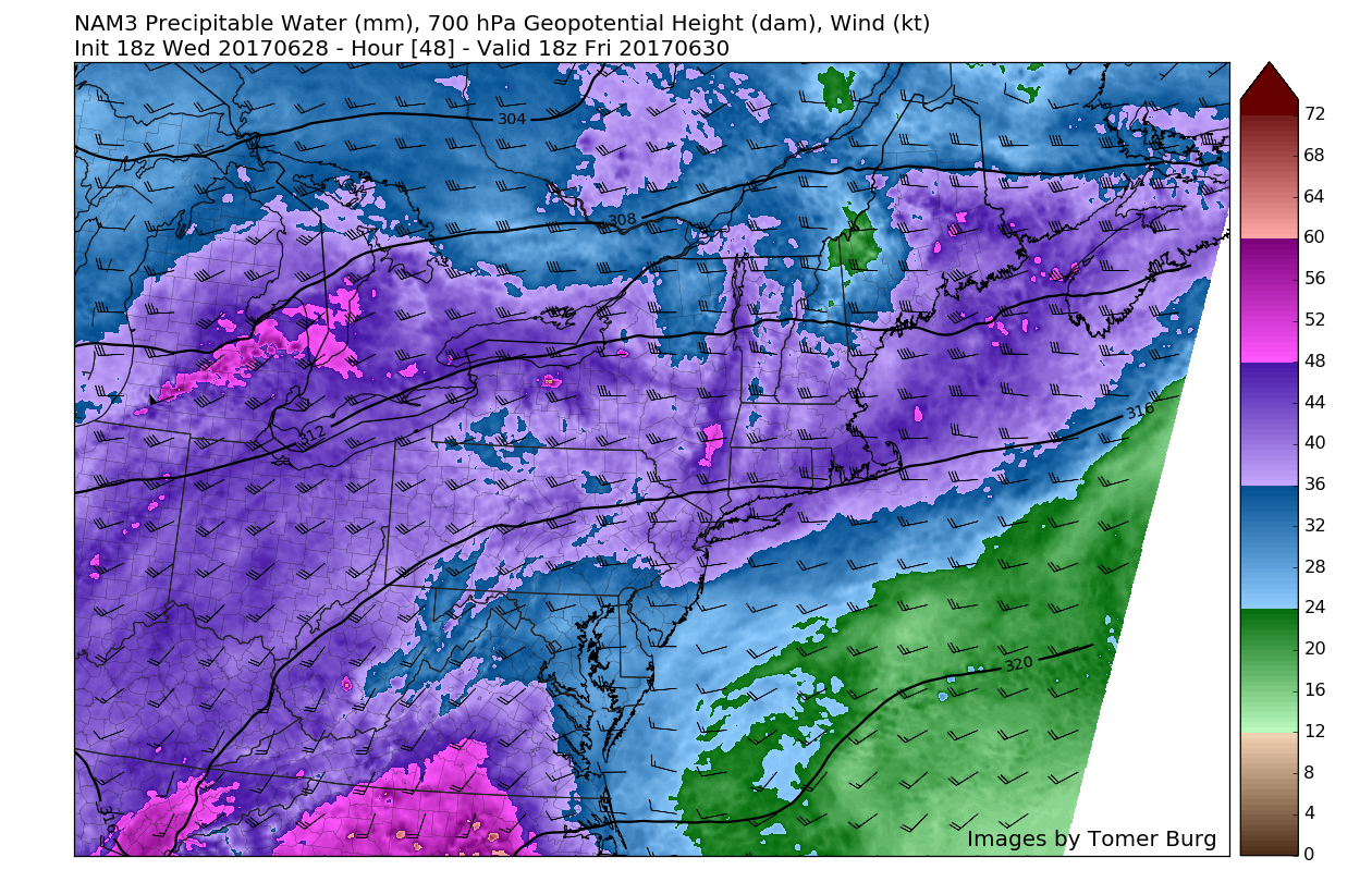
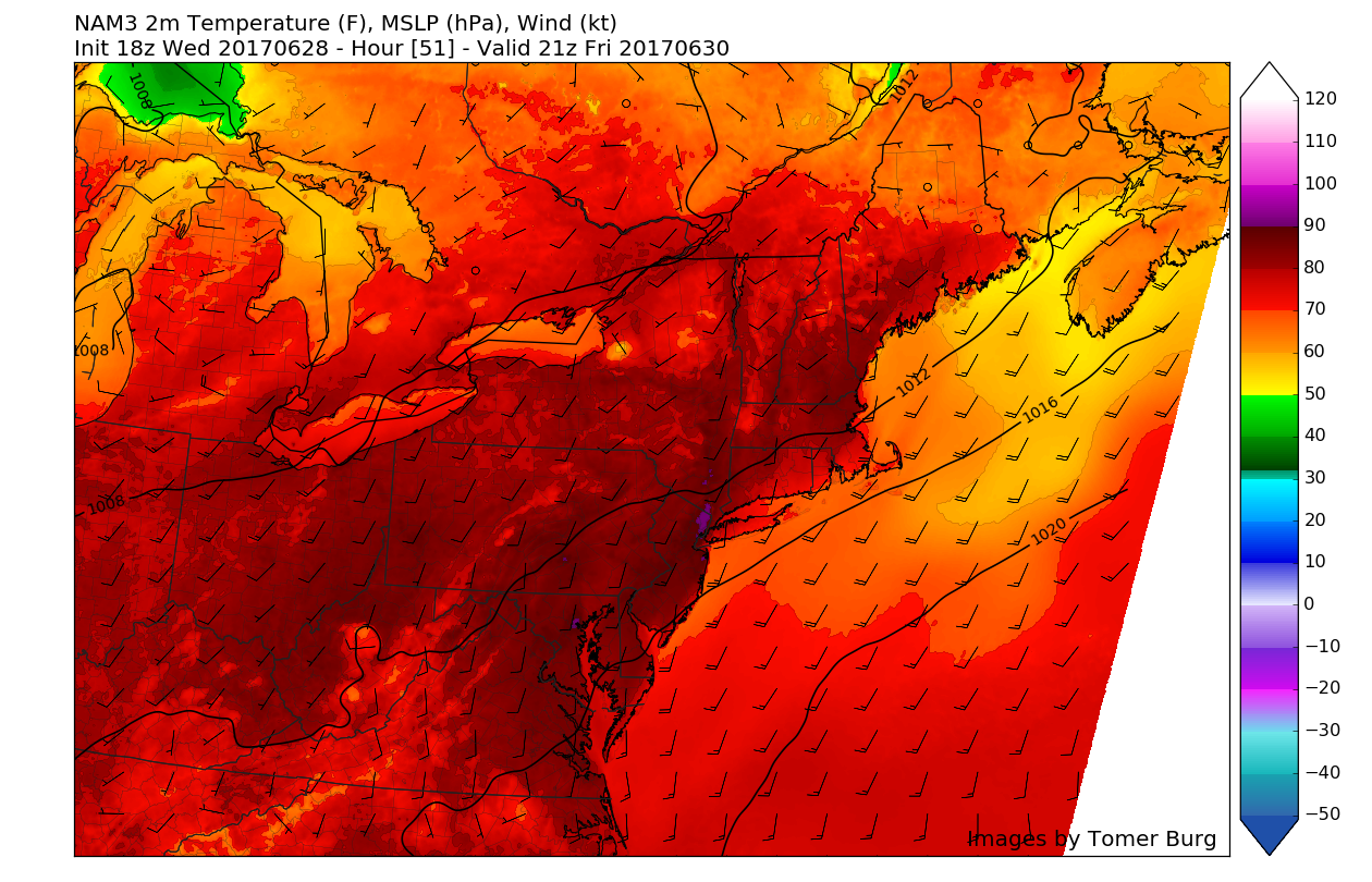
Sunday should feature a less humid start to the day as the cold front moves through during the early morning hours and mixes out the tropical airmass that has been lingering over the past few days. As dry air behind the front moves on in, mostly sunny conditions are likely to hold up for the rest of the day on Sunday. With mostly sunny skies and a much less humid airmass over the region, high temperatures will gradually build up towards the upper 80’s-with some locations possibly reaching that 90 degree mark once again!
Monday will likely features much of the same conditions as Sunday, with low humidity, clear skies, and an overall low threat for afternoon storms. Highs should also be quite similar, with temperatures likely peaking around the middle to upper 80’s. Overall, both days will be very pleasant and a great lead up to Independence Day.
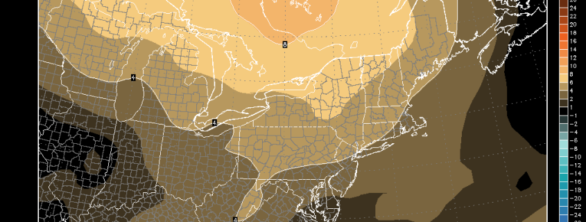
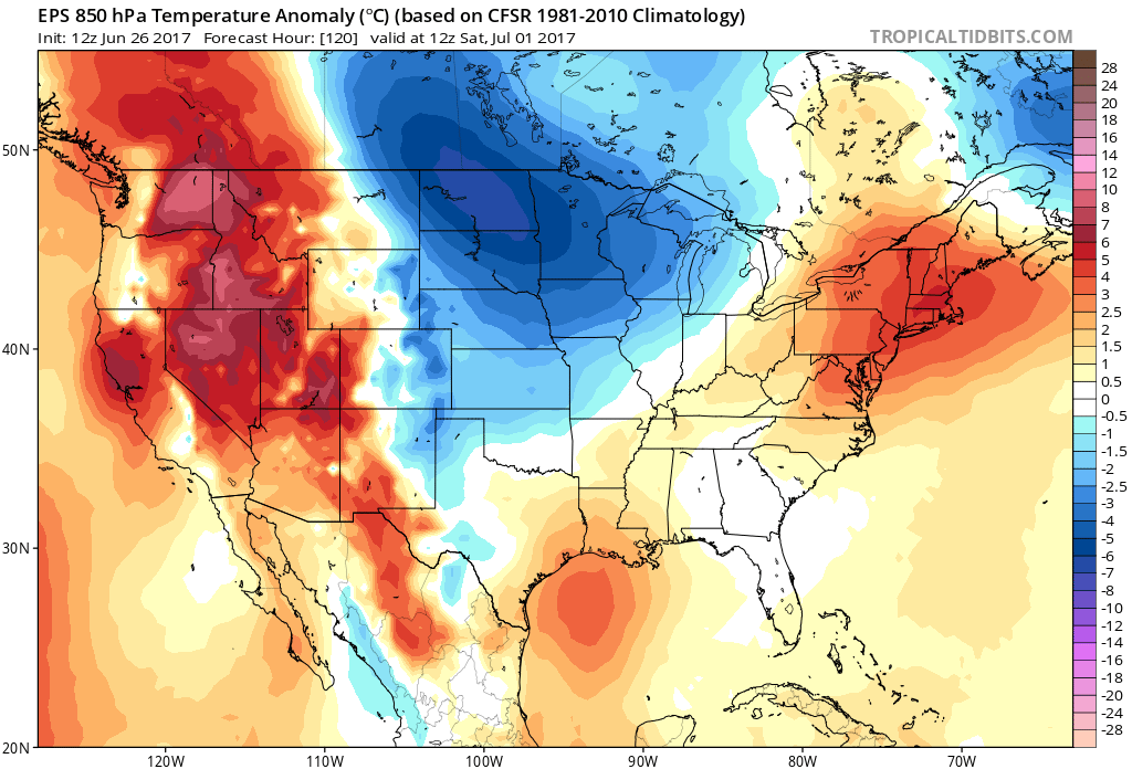
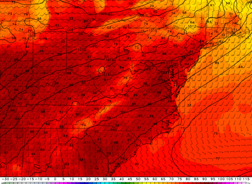
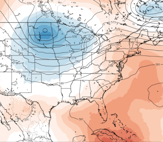
Tuesday (Fourth of July) – the day that everyone has been wondering about for over a week now actually looks to have quite an excellent setup in place during the day! A stationary front-the remnants of the cold front that passed on Sunday-will be located to our south, which will leave a large area of high pressure in control for the day, providing light winds, low humidity, and clear skies! Highs should continue their warm, but not outrageously hot trend, with temperatures likely reaching the middle 80’s over much of the area! In summary, it should be an excellent outdoors day, with near perfect conditions for firework-viewing, with only high cirrus clouds likely during the day!
We hope everyone has an excellent Holiday Weekend!
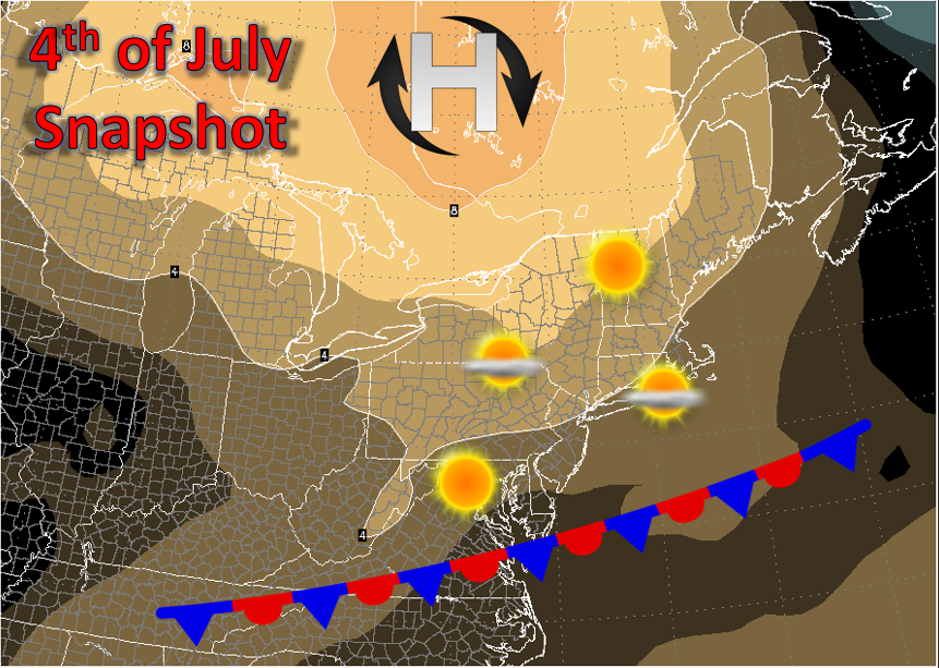
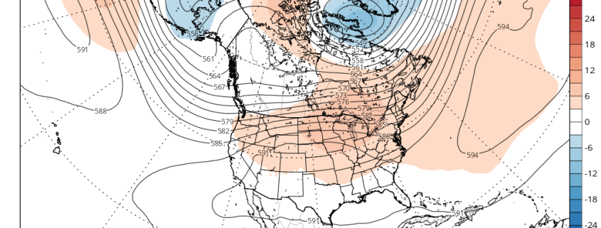
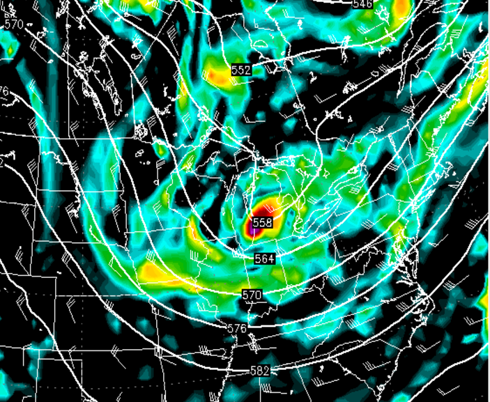
A quick summary of the conditions for the Fourth of July-orange colors denote areas of higher than normal pressure
For more information and posts like this one, make sure you sign up for Premium Forecasts — where multiple detailed articles, videos, and interactives are posted each day. Also, come interact with our staff and many other weather enthusiasts at 33andrain.com!
Have a great evening!
Steve Copertino
