-2")
More Dry and Warm Conditions Continuing This Week
Good Evening!
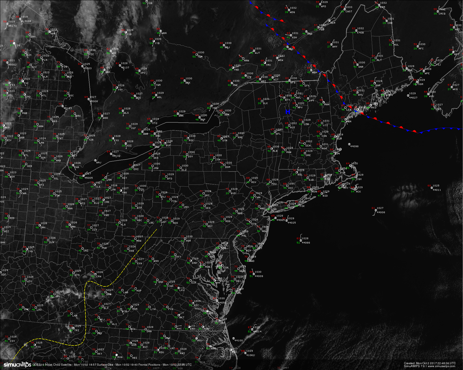
Today was another clear and beautiful day across the Northeast as the area of high pressure that dominated the region over the weekend continues to progress eastward over New England. With winds out of the north and east this afternoon, we saw cooler onshore winds over much of the area with highs reaching into the upper 60’s to middle 70’s, with the cooler temperatures confined into the upper regions of New England which was underneath the “center” of the Canadian high pressure system. Outside of a stray cloud or two this afternoon, the day was pretty much clear across the entire northeast with no signs of rain anywhere in the area. These conditions are expected to last into the evening hours and eventually overnight, when radiational cooling will allow for temperatures to rapidly cool back down into the upper 40’s to lower 50’s for lows this evening. Some locations in the far northern sections of Connecticut and New York may even see patchy frost as some low level moisture gets trapped underneath a temperature inversion in the lower levels of the atmosphere. Further south, this will translate to an enhanced risk for fog as we discussed last week. Foggy conditions may last into the early morning hours of Tuesday, before burning off as the day goes on.
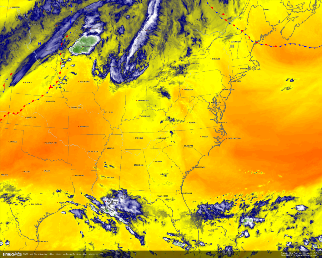
High resolution visible satellite imagery from GOES 16 showing extremely quiet and clear conditions across the Northeast (Simuawips)
The same mid level ridge that is currently over the region will continue to build and strengthen during the next few days leading to continued pleasant weather for the entire Northeast. The only changes that we will be seeing will be in the form of just how much the mid level temperatures moderate, which will then dictate how much temperatures will be allowed to rise. There is very good agreement amongst the model guidance that Wednesday will be the start of a short, but slightly warmer period as more west-southwest flow in conjunction with warmer mid level temperatures will allow highs to reach back up into the upper 70’s to lower 80’s across the region. On Thursday, we should see much of the same, but even warmer mid level temperatures will allow for above-normal highs to be relatively commonplace during the day, with highs in the lower to middle 80’s, especially over the NYC metro area and along points further south. As stated earlier, there really aren’t any solid rain chances this entire week, with the only slight-chance coming from a breakdown in the ridging over the Northeast, which may allow for some scattered shower/isolated thunderstorm development later in the day on Thursday and into Friday.

Loop of mid level temperatures off of the 18z NAM model showing a strengthening of the ridge, which ushers in some warmer weather once again
Overall, expect temperatures to be right around the same mark on Tuesday, then on a gradual increase from Wednesday into Thursday, before coming back down to the middle to upper 70’s by the end of the work week. Skies will be at least mostly sunny virtually every day except Thursday, when a slight increase in clouds and shower activity may occur. Even low temperatures will be on the rise during the week, with the coolest lows expected this evening. Afterwards, expect lows to range into upper 50’s to lower 60’s starting Wednesday evening. We may have to watch for some increased moisture streaming along the edge of the western Atlantic ridge, which may provide the area with an increase in some more unsettled activity by the beginning of next week. There’s significant uncertainty about this time-frame right now, so we will be watching it closely
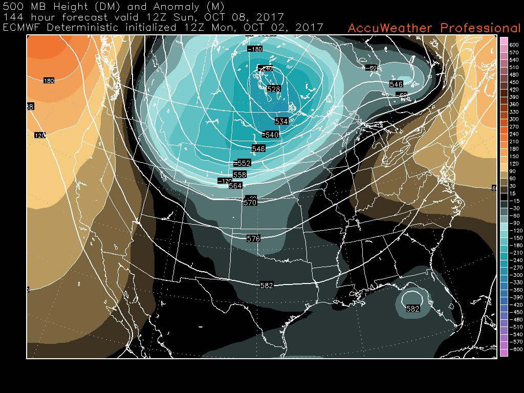
This afternoons European model showing the eastern ridging finally breaking down and a deep trough digging into the central part of the country. This pattern could potentially bring more unsettled weather to the East next week
For more information and posts like this one, make sure you sign up for Premium Forecasts — where multiple detailed articles, videos, and interactives are posted each day. Also, come interact with our staff and many other weather enthusiasts at 33andrain.com!
Have a great night!
Steve Copertino
Trackbacks & Pingbacks
2self-satisfied
Comments are closed.