-2")
NYC Area Forecast: Additional strong storms possible later today
Strong and severe thunderstorms moved through parts of the Northeast states on Tuesday evening, producing frequent and dangerous lightning as well as strong, gusty winds and torrential rain. There was even a wall cloud spotted in Queens and Nassau counties, as an area of distinct rotation appeared on terminal doppler radar out of Kennedy Airport. This was the third instance of rotating thunderstorms in the NYC area in just over a week.
The threat for strong thunderstorms will continue today as a frontal boundary slowly sinks towards the region. Instability is expected to build once again by this afternoon across the Northern Mid-Atlantic States with ample heating and a continued source of moisture (you may have noticed that it is very humid outside). As better forcing for storm development approaches later today, thunderstorms are expected to increase in coverage once again.
There are a few key ingredients needed to get organized severe thunderstorms: Instability in the atmosphere, a trigger (or lift/forcing) to develop the storms, and sufficient wind shear to keep the storms organized. We have two of the three today – but are most notably lacking ample wind shear for storm organization. This suggests that while strong storms will be possible once again, they should largely remain unorganized and/or not produce a widespread threat for severe weather.
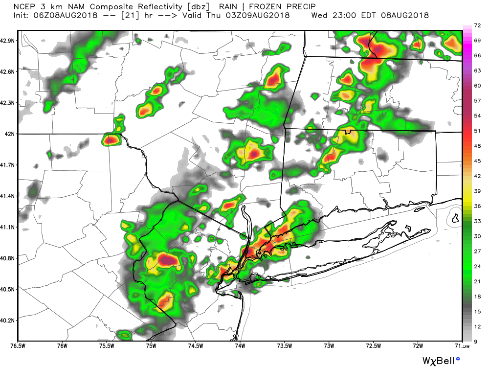
3km NAM model showing some potentially strong thunderstorms over parts of Northern NJ and NYC metro this evening
Still, with plenty of instability in place and very high dew points, the threat will exist for strong storms once again. As was the case yesterday, dangerous lightning will be possible with these storms. As the storms grow, mature and then weaken, the updraft and downdraft process could produce downbursts of wind in localized areas. In addition, given high dew points and warm ocean water temperatures as well as localized seabreeze boundaries, we cannot rule out a weak tornado.
The Storm Prediction Center has placed parts of the Northern Mid-Atlantic in a “Marginal Risk” for severe thunderstorms this afternoon, and this seems like a very fair forecast. We don’t expect a widespread or organized threat, as we noted above, but the potential does exist for hazardous weather in some areas later on.
Not all news is bad, however! The weather turns a bit cooler, temporarily on Thursday, as a frontal boundary shifts through and turns winds to a more northwesterly direction. For a period of time, this will negate the flow of tropical moisture into the area, and bring in cooler dew points. The airmass will feel much more comfortable as a result on Thursday – a welcomed treat after several days of heat and humidity.
Trackbacks & Pingbacks
d
3leavings
Comments are closed.