-2")
NYC Area Forecast: Pleasant, cooler weather returns this weekend
The Brief: Flooding rains are gone, the weather improves today. Calm, autumn-like weather this week. Warming trend begins next week with temperatures running well above normal by the mid and end of the week.
Flooding rains moved through the area this morning as a low pressure system formed near the coast, and for many areas the heavy rainfall simply exacerbated issues that already existed as a result of heavy rain over the past few weeks. The heaviest rain will continue to shift away this morning, moving through Southern New England and then off the coast. As it does so, cooler and more pleasant weather will gradually take over.
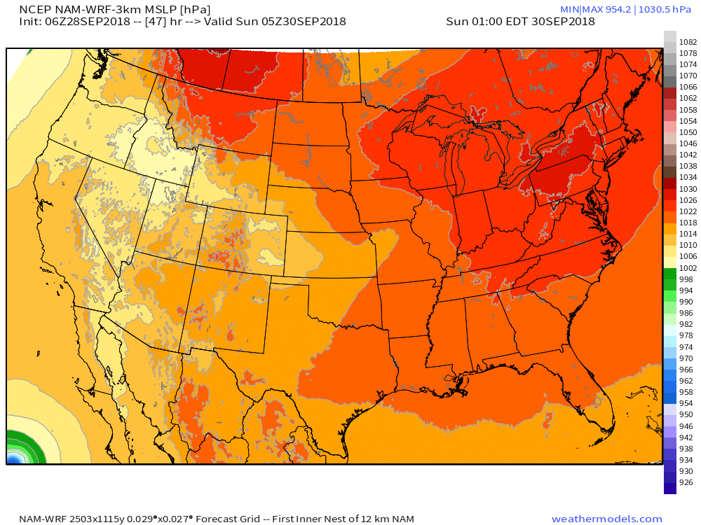
High pressure builds in to the region this weekend, with calm weather taking over.
High pressure will take over the weather this weekend, and it will be welcomed with open arms after a few weeks of unsettled weather. Temperatures will cool down quite a bit as well, running near or even slightly below daily averages through Sunday. It will certainly feel like Autumn, too, with relatively low dew points in place.
High pressure is generally expected to remain in control through the early part of next week. With Autumn temperatures and high pressure overhead, it will be a nice stretch of benign weather until then. By Monday and Tuesday, temperatures begin warming up quite a bit. You can thank a ridge in the mid/upper levels of the atmosphere for that, and it is expected to build gradually as the week goes on.
A weak low pressure system slides into Southeast Canada on Tuesday, passing through Northern New England during the later afternoon hours. As the disturbance moves through, enough lift is expected to produce scattered showers and perhaps even some thunderstorm activity. Instability will remain limited and no severe weather is currently anticipated, but we’re keeping a close eye on it just in case.
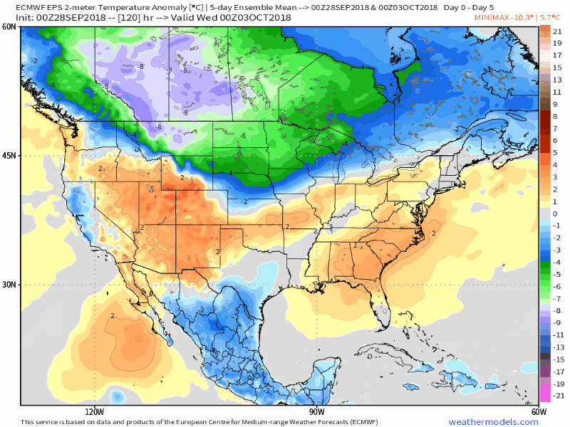
5-Day Average temperatures warm up considerably during the middle and latter part of next week.
High pressure is back to take control during the middle part of next week once again, and temperatures may warm even further. In fact, medium range model guidance suggests temperatures could run several degrees above normal for several days in a row — Indian summer, anyone? — through the end of next week. This could be particularly true on Thursday and Friday, with a front lingering well to the north and southerly winds drawing in warmer, more humid air again.
We’ll be keeping a close eye on the weather into next week – but for now, enjoy the improving weather today and the calm, pleasant weather this weekend!
Trackbacks & Pingbacks
2omnipotent
Leave a Reply
Want to join the discussion?Feel free to contribute!