-2")
NYC Area Forecast: Improving, warmer weather through the weekend
After an active Tuesday, with strong thunderstorms and tornadoes in the Northeast states, the weather has improved dramatically this morning. A frontal boundary shifted offshore earlier this morning, and is now in the Western Atlantic Ocean. This has allowed less humid, more stable air to shift into the Mid-Atlantic and Northeast states, and higher pressure is providing clear skies as well.
Temperatures over the next few days are likely to average slightly above normal, gradually warming through the weekend as a large ridge of high pressure begins to take control. The best news? Other than a weak frontal boundary passing on Thursday, the forecast looks generally quiet in the Northeast states as well.
The Brief: Warmer weather through the end of the week and weekend. A weak front with some scattered showers and an isolated storm is the only blemish in the forecast. The weekend looks gorgeous with no weather hazards anticipated.
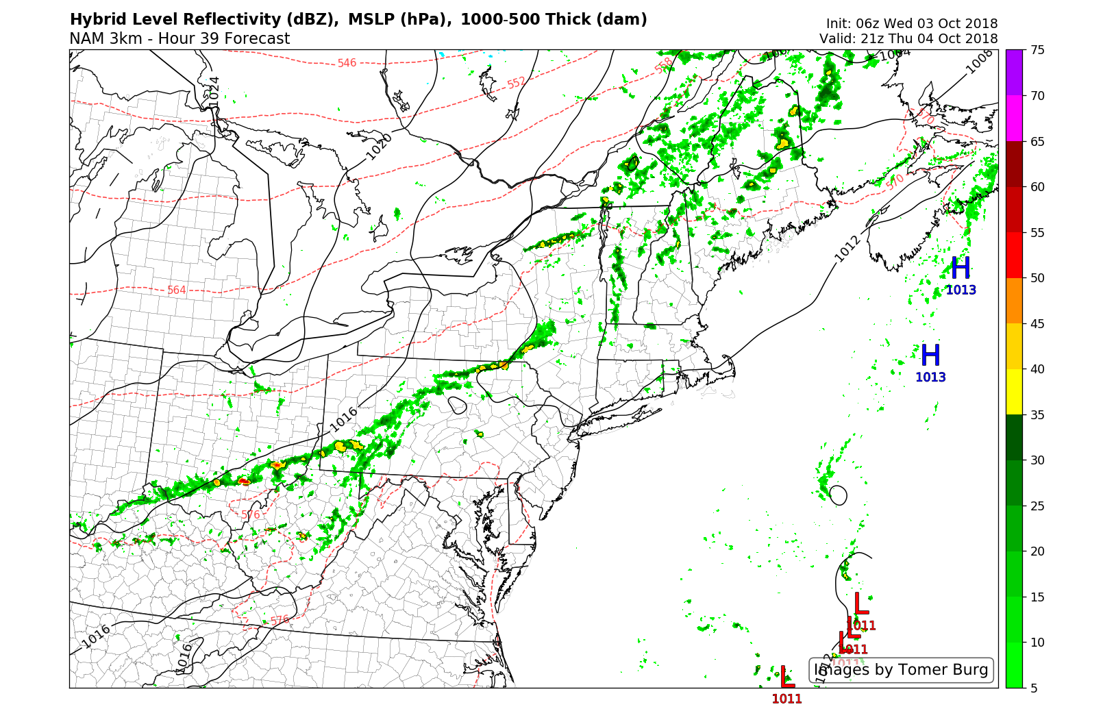
A weak frontal boundary provides a chance for showers and an isolated storm on Thursday evening, but no widespread activity is expected.
Wednesday and Thursday
Expect temperatures in the upper 70’s and lower 80’s, with generally pleasant conditions. This will be especially true on Wednesday, with a crisp airmass in place after the frontal boundary passage. If you’re heading to Yankee Stadium to catch the Wild Card Game, make sure you check out our SportsCast page for the latest information.
Thursday looks mostly pleasant as well, at least to start. A frontal boundary will approach from New England later in the day. This one will feature much less moisture and instability, so widespread strong or severe thunderstorms are not anticipated. Still, showers and perhaps a storm will be possible from the late afternoon into the evening.
Thereafter, high pressure builds right back in to the Northeast states from Thursday Night into Friday.
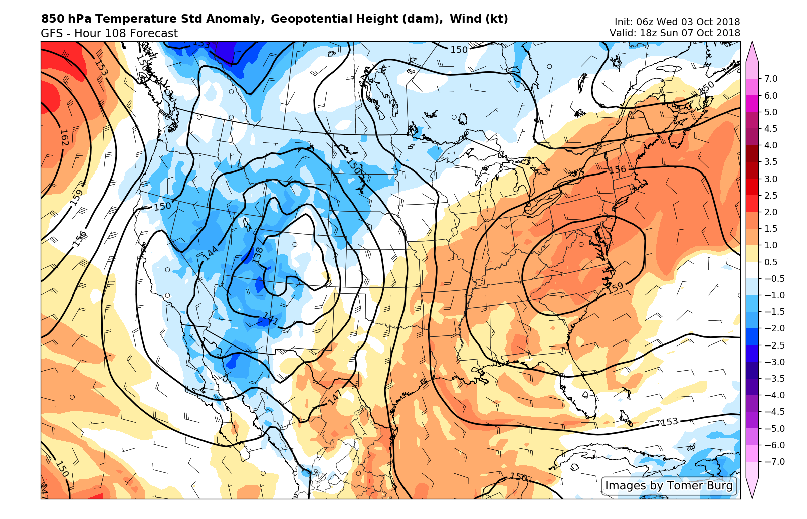
Warmer weather moves in this weekend with high pressure in place providing calm conditions as well.
Friday into the weekend
We mentioned earlier this week that the forecast for this coming weekend looked beautiful and warm – and that hasn’t changed. High pressure looks very likely to settle in to the Northeast states beginning on Friday, and it won’t be going anywhere fast. A large ridge builds over the Northeast states this weekend, and warmer air will gradually move in. Highs in the upper 70’s and lower 80’s will be common from Friday through Sunday.
Minimal weather disturbances are anticipated this weekend straight through Columbus Day. In fact, given the past several weeks of unsettled weather, this may be one of the better weekends in quite some time. With temperatures several degrees above normal – our suggestion is to get out there and enjoy it!
Leave a Reply
Want to join the discussion?Feel free to contribute!