-2")
Snow, sleet and rain all expected to start the week
A prolonged period of benign weather, which has largely dominated the past few weeks, will come to a sudden end this week. Multiple rounds of wintry weather are expected, beginning Sunday Night and continuing through Tuesday Night. The most impactful weather will come on Tuesday morning.
The story begins with a weak disturbance, which is set to pass to the south of NYC on Sunday Night. Just enough lift in the atmosphere and cold temperatures suggest snow will break out across Southern and Eastern Pennsylvania. While the atmosphere remains dry to start, it will moisten up by Monday morning, and support snow. This snow will gradually shift eastward into Central and Southern New Jersey.
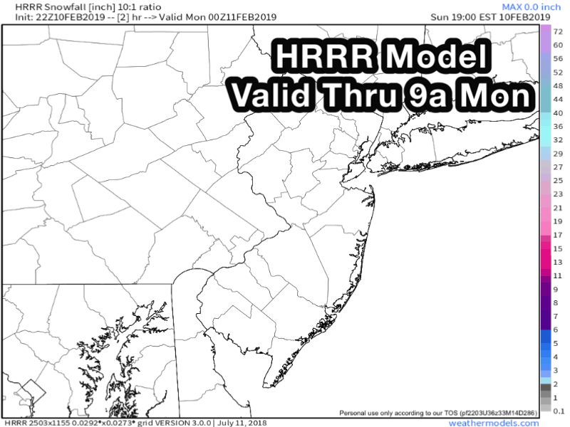
HRRR Model valid through 9:00am Monday
While snow intensity will remain light, it will persist long enough that 1-2″ of snow may accumulate in the aforementioned regions. Warm ground/pavement temperatures may help to start, so we aren’t expecting a widespread or high impact event. Still, travel will be slick, especially with snow still falling in the morning. The latest high resolution model guidance suggests a band of slightly heavier amounts (2-3″?) may set up in Southeast NJ as well.
The weak disturbance shifts out of the way later Monday morning, and attention turns to the bigger storm system late Monday Night into Tuesday. Snow will break out once again, this time with more vigor, over Pennsylvania and New Jersey, and begin shifting northward. With it will come warmer air in the upper levels of the atmosphere. This will lead to heavier snow rates initially, but also will allow precipitation to turn from snow to sleet and eventually rain.
This transition will occur from southwest to northeast – and also work inland from the coast. It’s like a plague! Seriously, though, a few inches of snowfall are likely across Central and Northern NJ, including NYC, Long Island and Connecticut, before things change to sleet and then rain. This snow may be precariously timed with Tuesday’s AM Commute, and even after the transition occurs, roadways will be slick and travel will flat out stink.
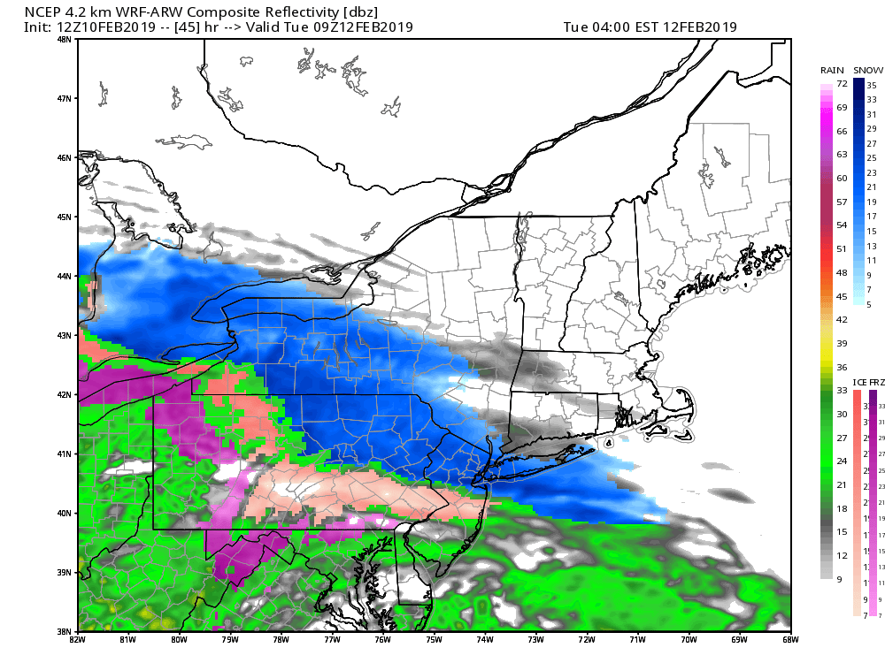
NAM model showing a multi-risk winter weather event on Tuesday morning.
Heavy rain is then expected later Tuesday evening, to wash away all of the wonderful white snow we have so dearly missed this season. Warmer air will help alleviate the threat for leftover ice or a flash freeze. The good news is that the weather will temporarily improve beyond this storm, before another system (likely to again feature mostly rain) approaches late this week into the weekend.
As always, get your butt to social media for the very latest, up to the second (we don’t sleep) updates from our team.
Leave a Reply
Want to join the discussion?Feel free to contribute!