-2")
Weekend Outlook: You wanted better weather, you got it
After what seems like weeks of near-daily rainfall, the pattern has finally decided to give us a break. High pressure nosing down from New England is likely to keep the weather calm over the next few days, leading to a very pleasant weekend. Temperatures are likely to average near or slightly above normal throughout the area during this time frame.
It has been a rough go of it. Since the middle of April, temperatures have averaged near or below normal and precipitation has averaged above normal. The very active pattern began in April with multiple days of rain per week, and transitioned in May to support strong to severe thunderstorms. The high pressure this weekend will come as a welcomed guest to the Northeast States.
The weather is likely to remain benign until at least the beginning of next week. Forecast models suggest that by Monday, southeast winds will begin to take control once again with high pressure sliding offshore. If you’re familiar with this areas weather, you know that’s not a good thing. A disturbance over the Tennessee Valley is gradually expected to slide towards the region, leading to an increasing chance of showers as Monday goes on.
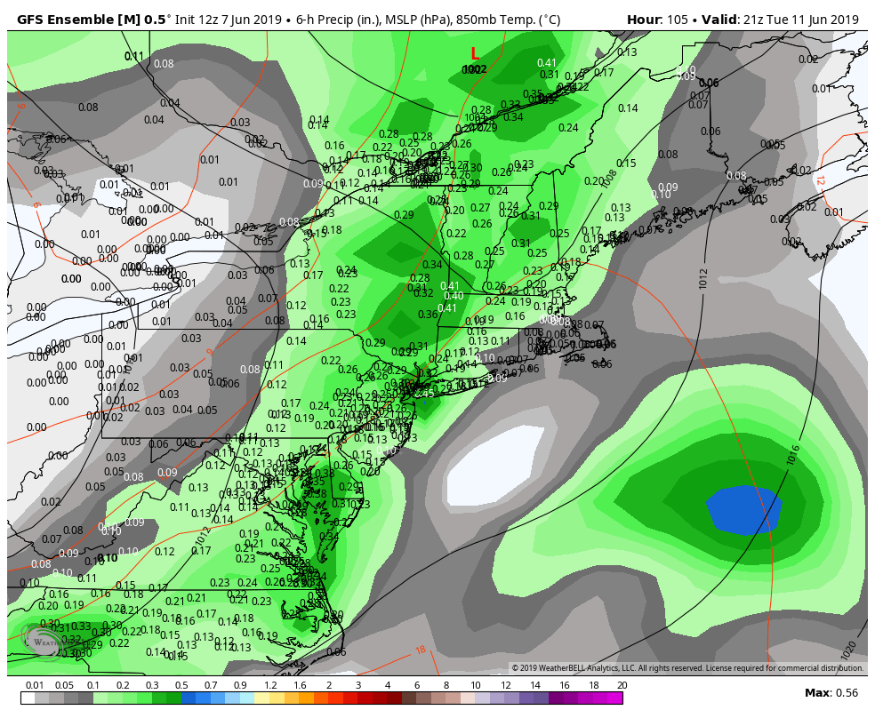
Rain chances will increase from late Monday into Tuesday as a disturbance approaches the region.
This risk for showery and dreary weather is likely to continue into Tuesday, as moisture increases and the disturbance remains nearby. Even as the system slides away by the middle of next week, the weather pattern beyond that looks likely to remain cooler than normal and quite active.
That’s all code word for: Enjoy this weekend.
We will be!
Leave a Reply
Want to join the discussion?Feel free to contribute!