-2")
PM Update: Clearing late tonight, warm and active pattern ahead
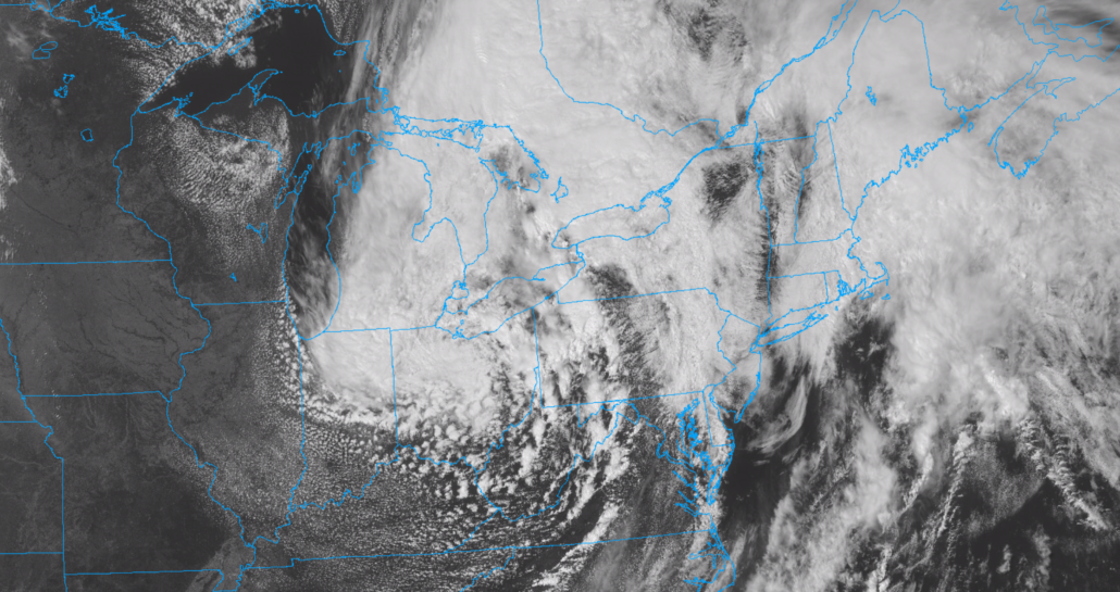
After a raw and rainy morning, the sun has made a cameo appearance this afternoon! It’s a welcomed sight, with temperatures spiking up into the upper 60’s (still well below normal for this time of year, by the way). Another round of showers and thunderstorms is possible with a secondary disturbance this afternoon and early evening. Thereafter, improving conditions are likely.
Calm and benign weather will take over on Friday and continue into the weekend, with seasonable temperatures expected. High temperatures will gradually rise back into the lower and then middle 80’s. Saturday looks to be the winner of the weekend, with temperatures in the lower 80’s and plenty of sunshine.
The next threat for rain will come on Sunday, when showers and thunderstorms will return to the forecast. A frontal boundary will sink southward from New England towards parts of Pennsylvania and New York. The atmosphere will gradually become unstable as the day goes on, leading to a rising chance of thunderstorms by the afternoon.
Active pattern expected into early July
The active pattern looks to continue into early next week. Most forecast model guidance is in good agreement that a frontal boundary will meander near the area – with warm temperatures and instability present, the potential for showers and storms will exist each day from Sunday through Wednesday. It won’t be a total washout, but the threat for afternoon storms will be a near-constant.
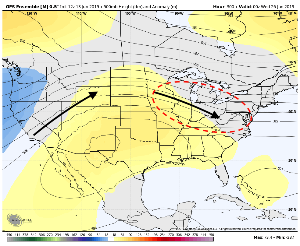
GFS Ensemble forecast for the early part of July. The pattern is indicative of potential warmth and storminess, with disturbances riding along the top of a ridge into the Mid Atlantic.
That same active pattern looks to have some staying power. A large ridge of high pressure looks likely to set up over the Southeast and eventually Plains states as we move into July. If it sets up to our south, disturbances could ride along its edge providing chances for showers and storms.
In simpler terms, these large ridges (also pictured above on the GFS Ensemble) typically feature heat and high pressure directly underneath them. If instability and shear is strong enough, disturbances can often cause storms on the northern edge of the ridge axis. We’ll be closely watching where it sets up to get an idea how our weather may evolve into July!
Leave a Reply
Want to join the discussion?Feel free to contribute!