-2")
Strong and severe thunderstorms possible Tuesday
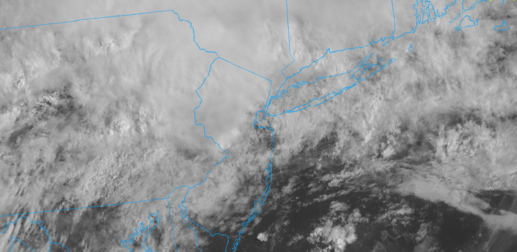
Multiple rounds of storms are possible today, particularly in Eastern Pennsylvania and New Jersey. The Storm Prediction Center has placed those regions in a Slight Risk for severe weather. Damaging wind gusts are expected to be the main threat with any storm, but hail and isolated tornadoes also cannot be ruled out. Heavy rain will also be a problem, with localized flooding expected. The threat for storms is being driven by the presence of a warm front, which is stalled near the area this morning. This front will serve as a focal point for storm development later today.
Storms develop early
Forecast model guidance is in excellent agreement that storms will develop early in the afternoon. In fact, the NAM and HRRR models suggest that storms may develop as early as noon. As they form near the warm front in Eastern Pennsylvania, they are expected to track east and southeast into a more unstable atmosphere.
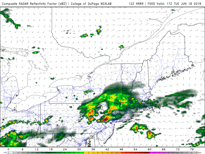
HRRR model showing strong to severe storms in Northern NJ later today.
Instability is like gasoline for these thunderstorms – it helps to fuel additional development and can strengthen existing storms. Warm fronts, meanwhile, can serve to locally enhance shear and help to organize storms further.
As a result, confidence is high in the development of strong to severe thunderstorms from 12pm through 4pm in Eastern Pennsylvania, New Jersey, and perhaps even in the NYC Metro Area.
Additional rounds later today
As storms move southward into Central New Jersey, additional lift in the atmosphere will aid in the development of more storms. Multiple rounds of showers and storms are possible from Eastern Pennsylvania into New Jersey through tonight.
In addition to the threat of severe thunderstorms, localized flooding is expected. The threat for showers and thunderstorms may continue into early Wednesday morning.
Leave a Reply
Want to join the discussion?Feel free to contribute!