-2")
Sunny skies and calm conditions throughout the weekend!
Good afternoon and happy Friday!
After what seems like weeks of being stuck in the same pattern, a break is on the way! This weekend will be a massive improvement over the past few days, with mostly sunny skies and dry weather.
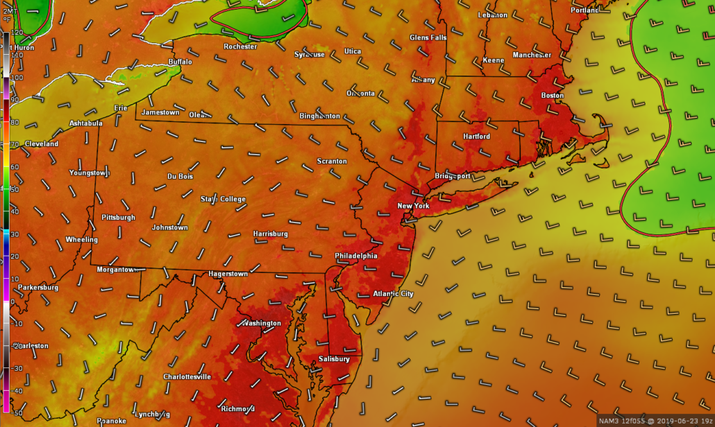
We started off the morning commute across the area as yet another dreary and unsettled one. Remnant showers (some heavy) made their way across northern sections of the metro as low pressure pushed off to our east. As we mentioned on Wednesday, today was a day of transition.
This is exactly what took place as the low began to move off the New England Coast. Showers gradually ended from west to east by lunchtime, with cloudy remaining conditions in place. However, dry air on the backside of this low has since filtered into the Northeast. This has allowed substantial clearing to take place from west to east, starting over PA/NJ. This clearing will continue to overspread much of the area over the next few hours, with skies turning mostly sunny. Despite the sunny skies, cooler temperatures aloft from Canada will keep highs down this afternoon/evening.
Temperatures are in the lower-middle 70’s across the area, and that’s just about where they’ll stay for today. Calm and pleasant conditions will continue into the evening and overnight hours tonight, with lows falling into the middle to upper 50’s.
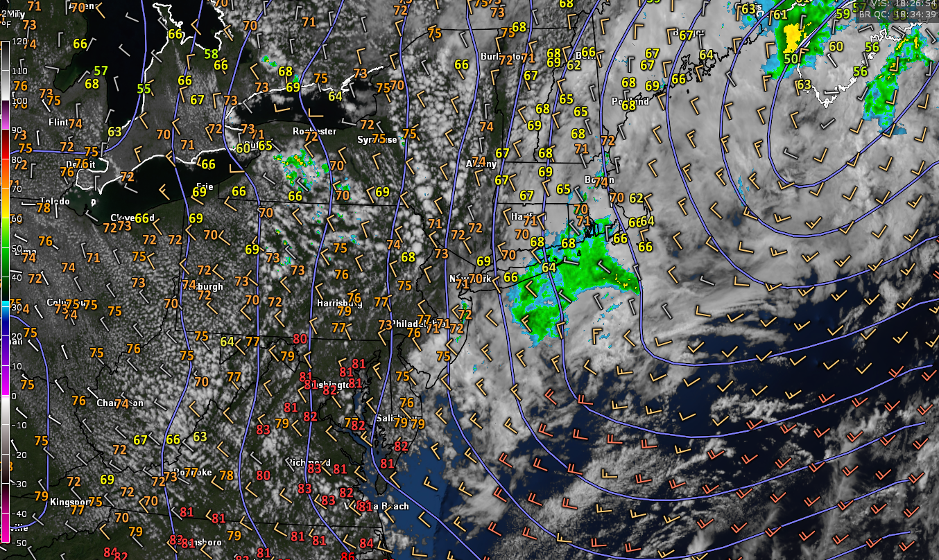
Snapshot of this afternoon’s current conditions showing gradually improving and sunny conditions developing over the Northeast
Near-perfect conditions to persist through the weekend!
After an incredibly dull, dreary and all-around miserable week, it’s finally nice to be able to deliver some good news!
Tomorrow (Saturday) will start off sunny with mild temperatures. The significant drop in dewpoints should be immediately noticeable with deep northwesterly flow in place. Clear skies and slightly warmer mid-level temperatures should also deliver a boost to our highs tomorrow. Temperatures should easily rise into the upper 70’s to lower 80’s across the entire NYC metro area. Much of the same is expected for the rest of tomorrow, with only a few passing clouds. Tomorrow night will be a clear and enjoyable one, with temps dropping back down into the upper 50’s to lower 60’s.
Sunday will once again start off virtually cloudless and mild. Mid-level ridging will begin to build over the East, allowing for even warmer highs to develop. Temps should quickly warm into the lower to middle 80’s on Sunday, with sunny skies and light winds areawide. Our sensible weather should remain consistent throughout the rest of the day on Sunday and into the night. Lows will be similar to Saturday, with temps dropping into the upper 50’s to lower 60’s.
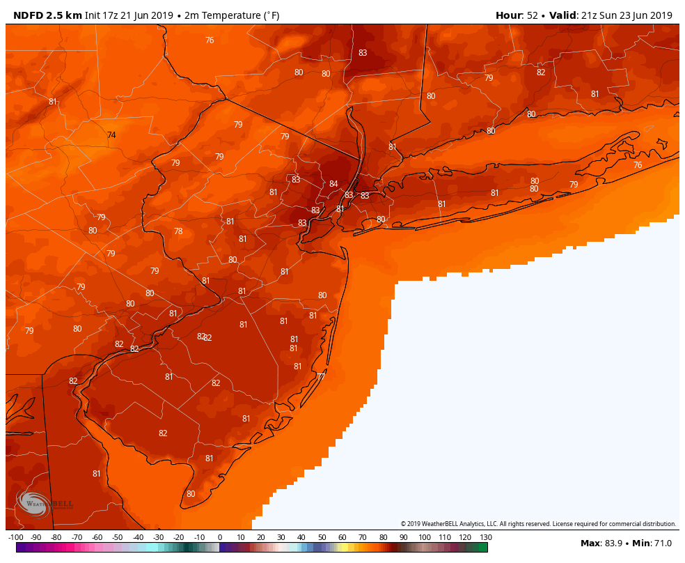
~NWS highs for Sunday afternoon~
Early indications show that Monday could be another excellent day before more unsettled conditions arrive by Tuesday! We’ll have an update on Monday to discuss the rest of next week!
-Have a great weekend and enjoy the weather!
Steve Copertino
Trackbacks & Pingbacks
2learned
Leave a Reply
Want to join the discussion?Feel free to contribute!