-2")
Tuesday Briefing: Warm weather returns, looks to stick around
Warmer weather conditions have settled in once again this morning, and will persist for the next several days. You may even notice a haze in the sky this morning – you can thank wildfires in Canada for that! The next chance of precipitation won’t come until Thursday, and after that storm system passes by it’s game-time for heat and humidity to take over once again. Here are five things to look out for in the next two weeks of weather:
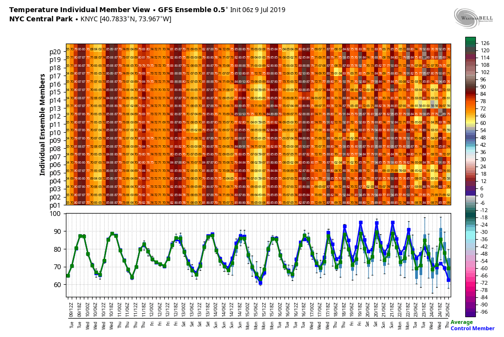
- Warm and hazy conditions will continue today, with high temperatures in the upper 80’s and lots of sunshine.
- Showers and thunderstorms are expected on Thursday afternoon and evening. While no widespread severe weather is anticipated, the potential will exist for some stronger storms. These bad boys will be capable of producing heavy rain, lightning and gusty winds.
- The heat and humidity starts to dial up again this weekend. There will be a few chances for showers and storms each day, but nothing significant. Think “summer thunderstorms” during the afternoon and evening.
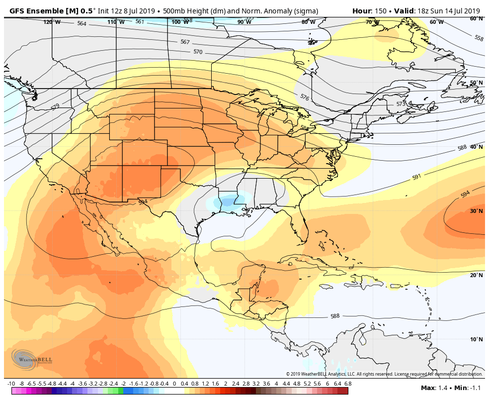
- Heat and humidity may become even more significant by next week. Forecast model guidance is in good agreement now that a large ridge will expand from the Plains towards our area. This will allow warmth to really expand toward our area for the first time this summer.
- In addition to the heat expected mid-month, we’re also looking at increased probability for thunderstorms. Some of these could be organized storm events, but it’s too early to attempt to pinpoint any specific events at this juncture.
That’s all we’ve got for today. The summer keeps marching on – and it looks like it’ll state its reign with conviction by the time we move into next week. Dial up the AC!
Leave a Reply
Want to join the discussion?Feel free to contribute!