-2")
Wednesday Briefing: Storms possible Thursday, warm conditions dominate!
Today has been yet another warm/hot day across the entire Northeast. Tomorrow (Thursday) may feature some heavy showers and thunderstorms across the area, but nothing too impactful overall. Showers will likely linger into the beginning of Friday but should clear out just in time for the weekend! All indications point towards another bout of hot & humid conditions, potentially lasting through next week! As always, here are your five things to look out for during the next week!
- Predominately warm/hot conditions will continue through the rest of this afternoon/evening with mostly sunny skies.
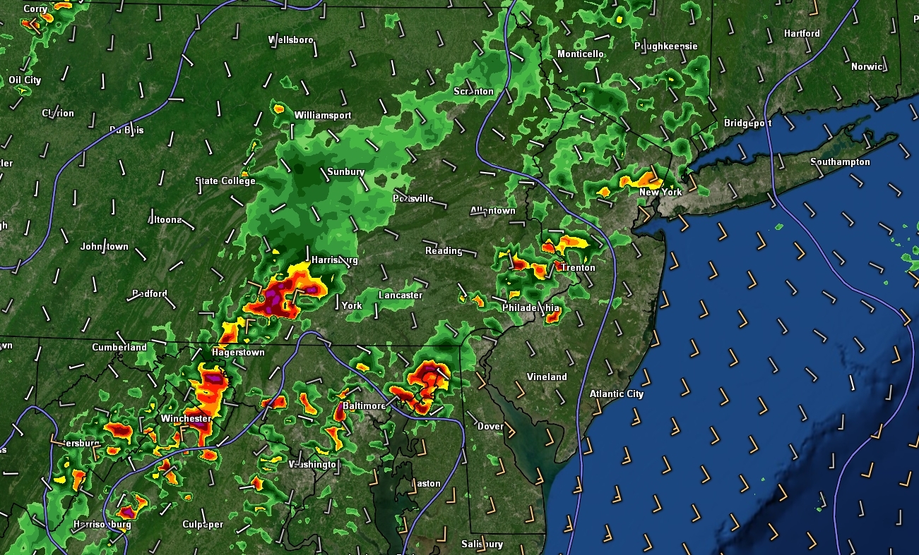
- Showers and thunderstorms are likely to develop tomorrow afternoon out ahead of a frontal system. While initial activity should be off to our west, this activity will gradually work east with time. Severe thunderstorms appear unlikely, with the primary threats being gusty winds, lightning, and heavy rain. Keep an eye out for some street/urban flooding with any stronger storms!
- Conditions really look to blossom from “warm” to full-blown hot by this weekend. Temperatures will likely reach into the upper 80’s to middle 90’s each day. Increased humidity will also overspread the metro area, making for widespread “muggy’ conditions.
- An impressive mid-level ridge will begin to build over the northern half of the country early next week. Additionally, humidity levels will also climb into the “uncomfortable” levels. We may finally see a prolonged period of highs in the upper 80’s to middle 90’s, with the potential for a full-blown heatwave for the NYC metro!
- The aforementioned pattern will also support an increase in thunderstorm activity for much of the Northeast. While it’s a bit too early to get into details, expect muggy/hot days with a decent chance at afternoon storms!
All in all, we have an impressive string of warm days gradually transitioning into real summer heat by next week! Model guidance shows that this pattern has the potential to last a while–with the added possibility of increased precip over the Northeast!
Thanks for reading and we’ll have our usual detailed public analysis on Friday!
-Steve Copertino
I appreciate your weather forecasts… the best, most thorough and understandable… thank you.!
Thank you, Tiffanie! Thanks for reading!