-2")
NYC Forecast: Warmer weather will gradually return later this week
As I type this, the NYC Area is in the midst of a beautiful stretch of weather. Temperatures have averaged a few degrees below normal, with low humidity and lots of sunshine over the past few days. Much of the same is likely through the middle of this week. For now, most of the weather-related news remains as good as it can get.
Prolonged stretches of pleasant, comfortable weather like this are not commonplace in NYC’s summer weather. More often than not, temperatures are warmer and humidity is much higher than they have been. This leads to uncomfortable conditions during the months of June, July and August. It goes without saying that the past few days have been enjoyable. From a statistical standpoint, the pattern has been clear: The last seven days have averaged slightly below normal in terms of temperature, and solidly below normal in terms of precipitation. In summer, that’s a recipe for a pleasant pattern.
We’ve got a cutoff low to thank for that. A mid level trough has separated from the mid and upper level jet stream and has been meandering around to our south, while deflecting heat and humidity away. Forecast models suggest that by the end of this week, the system will begin to weaken and shift away from our area.
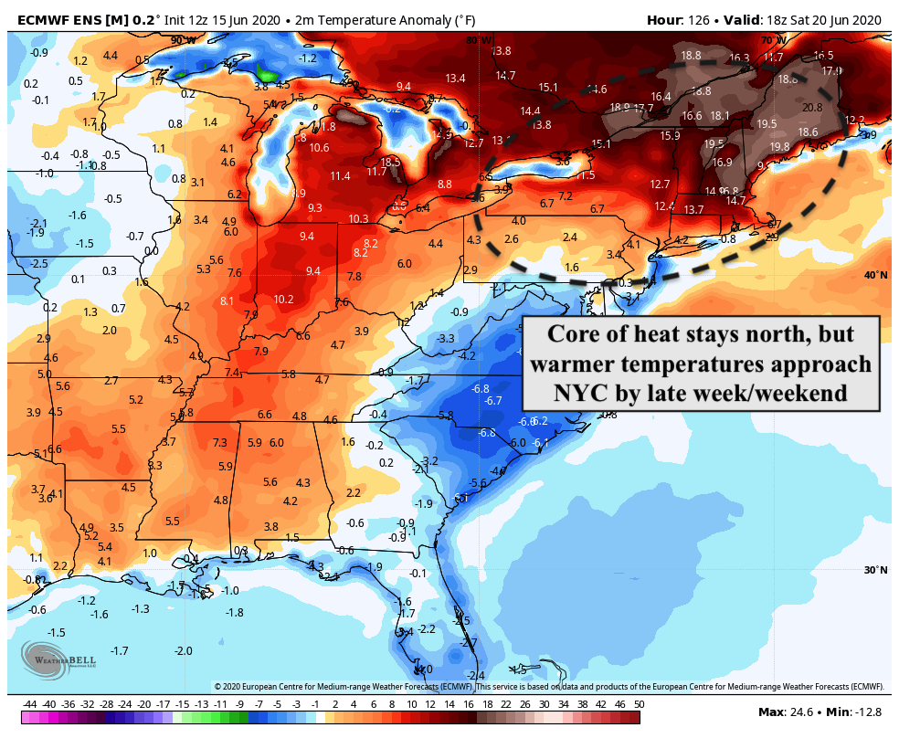
By late week, a broad southerly flow will return. Higher heights will build in the mid and upper levels of the atmosphere, as high pressure builds to our north and east. This will lead to a gradually warmer and more humid pattern, especially by the weekend.
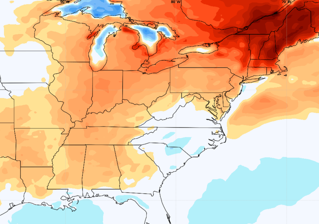
The most recent ECMWF and ECMWF Ensemble is in agreement with this general idea, suggesting that temperatures will jump near and then above average for this time of year by later this week and weekend. High temperatures, which have averaged in the mid 70’s over the past few days, may reach the middle to upper 80’s by the weekend and into early next week.
It remains to be seen just how active the pattern will be, but without a cutoff low near our area playing defense, we’ll be open to the approach of more frequent atmospheric disturbances. Overall, this suggests the return to a more typical summer pattern in NYC, with chances for warmth, humidity and storms.

We’ll have updates on the exact progression of temperatures and opportunities for rainfall as we draw closer. For now, enjoy the fleeting moments of comfortable weather while it’s still here!
Leave a Reply
Want to join the discussion?Feel free to contribute!