Showers return on Monday, crisp autumn weather follows in NYC

Good afternoon, NYC! 

Beautiful autumn weather has been the story for the past several days and will continue to be the story today. High temperatures in the mid 60’s and plenty of sunshine will keep conditions feeling comfortable. 

Read more

What to expect from the remnants of Hurricane Ian in NYC

Hurricane Ian is making landfall once again, this time as a Category 1 Hurricane along the coast of South Carolina. The storm is expected to bring substantial impacts to the Southeasts US coastline including heavy rain, wind and storm surge. Eventually, the remnants of the storm will begin making their way northward later tonight. 

Read more

When will the remnants of Ian reach NYC?

Hurricane Ian made landfall yesterday as a powerful Category 4 hurricane in Florida. The storm delivered catastrophic impacts to parts of the state yesterday including a dangerous storm surge, destructive winds and flooding rains. The threat for dangerous conditions will likely persist well today as the storm crosses the state, despite weakening.

Read more

NHC monitoring multiple areas for tropical development

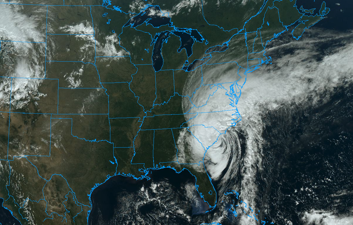
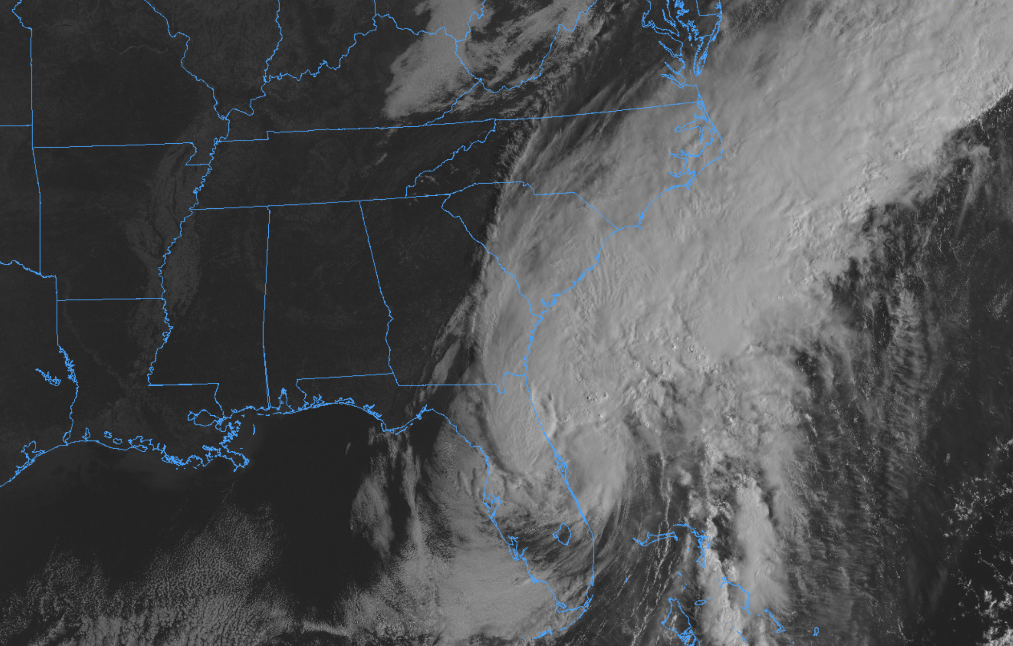
The stretch of near-dormant conditions in the tropical Atlantic has come to an end, as anticipated. NHC is now monitoring multiple areas for possible tropical development over next several days. The area of thunderstorm activity with the highest probability of development (pictured above in red) also has the most interesting prospects for tracking close to the United States mainland.

NHC suggests that this area of thunderstorms has a 80% chance of developing into a tropical system of some sort over the next 5 days. The general track of the system during that time would place it somewhere north or northeast of the Lesser Antilles, though the details of how the system organizes remain uncertain at this range.