-2")
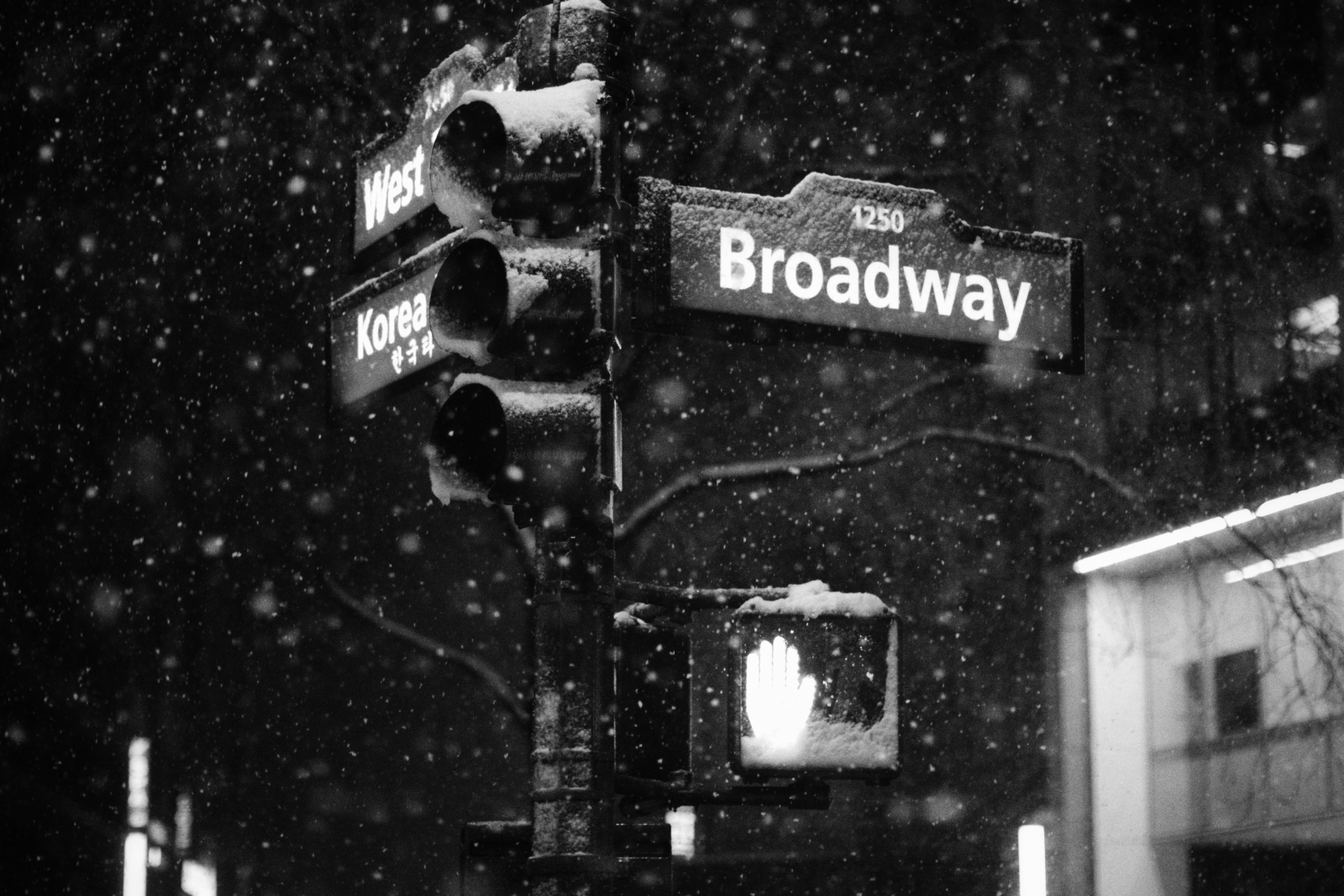
Is winter over in NYC? Not quite yet…
Winter has yet to truly appear in NYC in 2023-2024, with warm temperatures and very little snowfall. However, a pattern change is expected by mid-February that could bring colder air and the potential for snow back into the forecast.
Other than a wintry period in January that produced some small accumulating snowfall events, winter has been on hiatus for…well, the entire winter. Temperatures averaged well warmer than normal in December with almost zero accumulating snowfall. Even in January, temperatures started out exceedingly warm before a mid-month change brought a few light snow events.
It has been warm and snowless again ever since. More recently, we were marred in a prolonged period of fog and cloudy weather with abnormally warm temperatures and drizzle. I personally can’t think of anything worse – no snow, no cold, just clouds and drizzle for weeks on end in the middle of winter. We can visualize this using the average cloud cover plots across a vertical profile of the atmosphere.
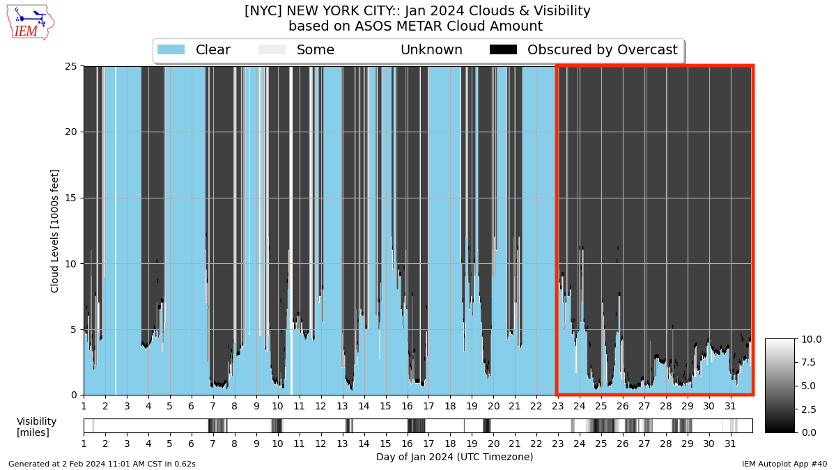
Notice the period in late January? Yeah, that was our 10-day long nightmare. It remained mostly cloudy almost every single day, with drizzle and light precipitation continuing as well. I think we’re all glad that’s over. Sunshine has returned over the past few days with generally very nice weather expected through the middle part of this week.
Therein lies the problem if you like snow – it’s too nice outside. Temperatures are forecast to average well warmer than normal in NYC and the entire Eastern United States over the next week. We can thank the Pacific Jet, which is very strong at the moment. It’s flooding the country with warm air and keeping cold air locked up in the arctic. That will change next week.
Changes are starting later this week
While we’re enjoying warmer than normal temperatures and pleasant conditions, the atmosphere will be undergoing significant changes. Most notably, ensemble guidance is now suggesting the development of a major high-latitude blocking regime. High-latitude blocking refers to the presence of ridges of high pressure in the higher latitudes (i.e, the arctic).
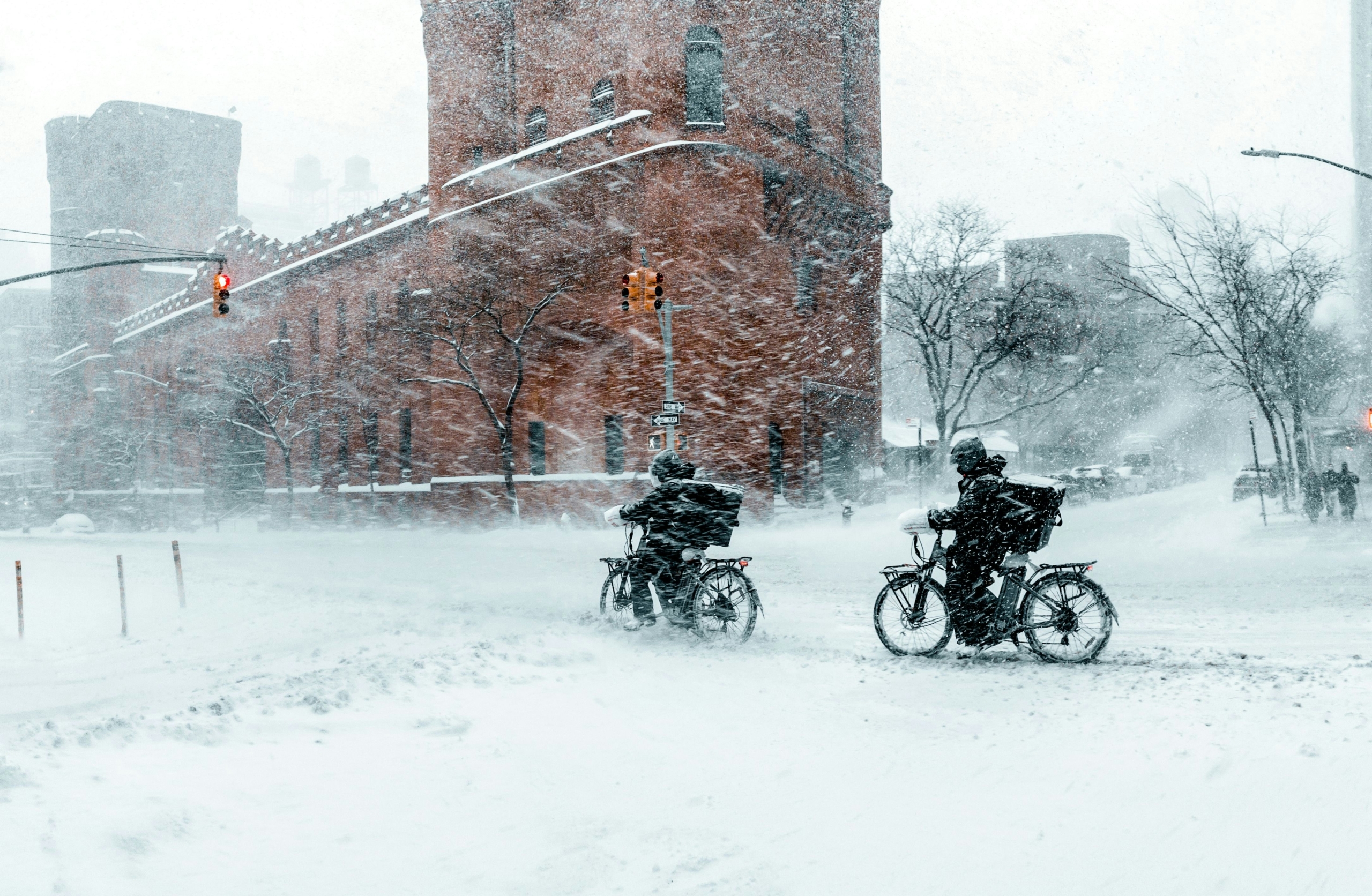
When these blocks get strong, as this one is modeled to be in mid-February, they dislodge cold air that typically resides in the arctic southward towards the United States. As a result, most forecast model guidance is suggesting that the weather pattern will trend much colder during the second half of February.
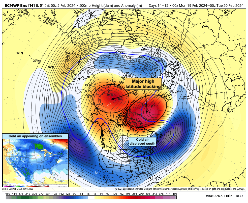
These blocks can also act to form atmospheric traffic jams. In other words, they slow down the pattern while also pushing cold air towards our area, allowing bigger storms to form. The combination of the cold air and block starts to sound alarm bells in meteorologists minds. Similar blocking events in the past have produced winter storms in our area.
Still, nothing is guaranteed. We just saw a notable high-latitude blocking event in January and NYC saw only a few inches of light, non-eventful snow. High-latitude blocking regimes don’t guarantee snow, but they definitely do increase the chances of it. This upcoming event will be no different.
I’m personally keeping a particularly close eye on the period from February 20th – 27th. During this time, model guidance suggests the presence of cold air, blocking, and hints at a strong southern stream disturbance with plentiful moisture. A winter storm could evolve somewhere in the United States during this time frame, but that’s about all we can say with confidence for now.
Tl;dr: Winter will return during the second half of February with colder air and the opportunity for winter weather, but there are no guarantees in regards to snow in NYC.