-2")
An Early Look at the Pattern for Thanksgiving Week
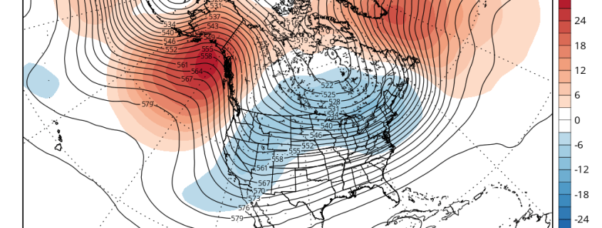
The days before Thanksgiving are some of the busiest travel days of the year, meaning that the weather has an even larger impact than usual. Accordingly, we have already been keeping an eye on model guidance for this period. While it’s still too far out to forecast with confidence, our November outlook did show some cooling to near average later this month, with an overall warm month in the means. Not coincidentally, there does appear to be some kind of pattern change on the model guidance that has piqued our interest.
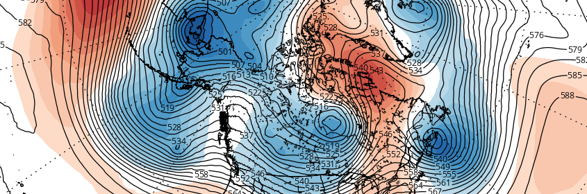
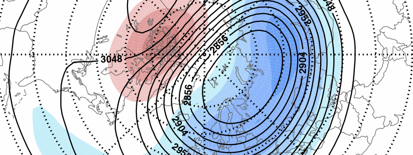
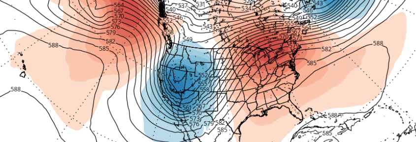
Forecast models and their ensembles have consistently showed above normal 500mb heights developing early next week over the Northeast Pacific. These heights extend up to Alaska, which causes the Eastern Pacific Oscillation (EPO) to go into its negative phase. Another ridge initially over the eastern US this will be forced to build into the Davis Strait and Greenland — temporarily bringing the North Atlantic Oscillation (NAO) down into its negative phase as well. This pattern will bring one or two cold shots into the Western and Central US on Thanksgiving week. The main questions are: a) will this airmass make it into the Eastern US, b) if so, how much (if any) modification will there be, and c) how long will this colder regime last?