Friday overview: No signs of spring, other than baseball

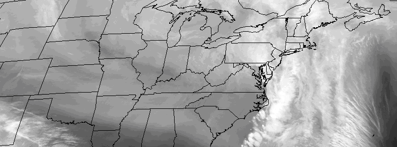
Cold air has returned to the area this morning, which you’ve probably already noticed. This airmass will continue pushing into the area over the next several hours as west-northwesterly winds usher in the drier and colder airmass. A few scattered showers are possible today, but should remain generally un-impactful. The main story over the next day or two will be the potential for snow (yes, you read that correctly) on Saturday with a system developing off the coast of New Jersey.

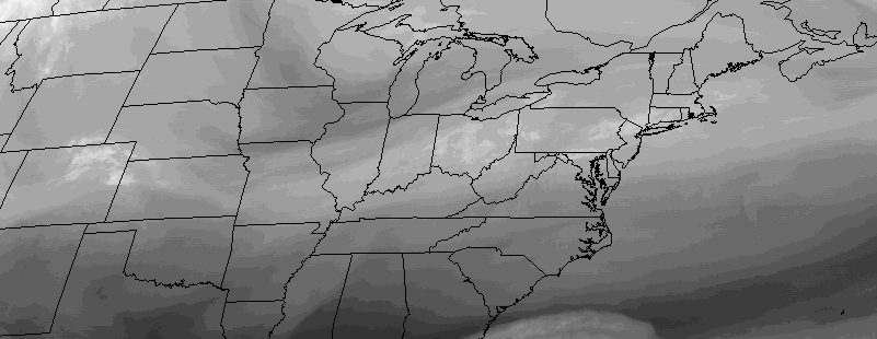
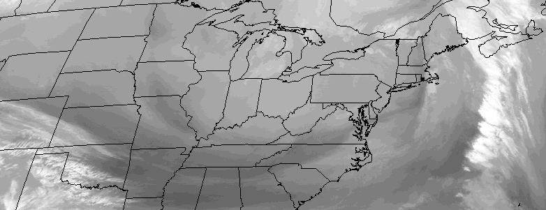
Models are in agreement that a strong shortwave and atmospheric disturbance will drop southeastward from Canada into the Great Lakes and eventually underneath the Mid Atlantic states on Saturday. This is a pattern that is much more typical in January of February — not in April. Nevertheless, the storm system is well signaled on all models. The question, over the next several hours, will be pinning down when and where heavy precipitation will occur. Essentially, while most areas will experience rain with this storm, heavier precipitation rates can allow for “dynamic cooling” in the atmosphere, allowing precipitation in heavier bands to fall as snow.

Read more

Thursday Overview: Warmth will be fleeting


Warmer air has infiltrated the region today, and will remain in the area through the afternoon hours. A storm system to our west is ushering in warmer air via southerly winds, and increasing moisture with higher dew points is notable as well. All of this is occurring ahead of a cold front, which will approach the area later on this afternoon and evening.

The frontal boundary will become the focal point for the development of heavy rain with embedded thunderstorms, some of which may produce gusty winds. These storms will move east/northeast of the area, with another round of showers expected tonight before the system clears out by Friday. The latest and greatest weather information is available below:

Read more

Wednesday Overview: Unsettled, then cold again

Freeze Warnings have been issued on two consecutive nights, both Monday and Tuesday, as temperatures fell into the upper 20’s and lower 30’s throughout the area. A warming trend is underway today, with high temperatures rising into the mid to upper 40’s during the afternoon hours. The news isn’t all good, however, as this warming trend is the first sign of unsettled weather which will approach the area on Thursday.

This storm system will bring periods of rain with embedded thunderstorms to the area on Thursday, before cold air follows the storm system into the weekend. The latest and greatest information is all included below:

Read more

Monday Musings: Snow, rain, and baseball

Happy Monday! We are excited to bring forth the return of our daily musings posts, which will feature an overview of the forecast with highlights of the weather stories from around the area (and occasionally around the country as well). Today is also Opening Day for a large majority of Major League Baseball teams. If you woke up this morning thinking Opening Day would feature chirping birds and warm sun, you were wrong. Instead, you were probably greeted with snowflakes and a nice cold rain.

A broad but relatively progressive low pressure system moving through the Northeast US will continue to provide unsettled, raw, and quite honestly miserable weather conditions throughout our area today. High temperatures will eventually reach into the lower 50’s later this afternoon, but not before hours of cold rain mixed with snow. Wintry precipitation accumulations are expected this morning in the higher elevations, but mainly on grass and cold surfaces. Here are the highlights for the day ahead:

Read more