-2")
PM Update: Wonderful Wednesday on the way
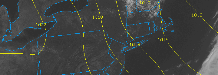
A pleasant Tuesday, which featured lower dew points and comfortable temperatures in the mid 70’s — as well as a light northwest breeze and plenty of sun — will give way to a gorgeous evening and overnight period. Wednesday will be a hint warmer, with calm winds that will quietly shift from northwest to southwest. You’ll be hard pressed to find a more comfortable two day stretch in the first week of June!
Tonight: Clear, with low temperatures in the mid 50’s. A bit cooler near the shore and away from the city. Light north winds between 5 and 10 miles per hour, so crack a window and give the air conditioning a break tonight.
Wednesday: It doesn’t get much better than this. Mostly sunny with highs in the mid to upper 70’s in the city, a hair cooler near the beaches and inland. North winds will flip to south-southwest by afternoon. Just a few clouds after noon.
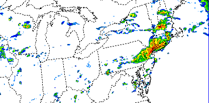
Tropical moisture may mean a wet weekend: Forecast models have been persistent in showing the potential for widespread clouds, showers and a period of moderate to heavy rain this weekend. A tropical disturbance in the Gulf of Mexico may eventually weaken and head up the East Coast while being scooped up by a progressive trough. The result would be a weak low pressure system tracking near the East Coast. Unsettled weather looks likely from late Thursday into Saturday, but the amount of rain remains in question.
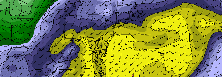
NAM model showing precipitatable water values approaching 2.0 this weekend as tropical moisture surges up the East Coast.
El Reno tornado becomes widest ever recorded: Our article from earlier today detailed the El Reno, Oklahoma tornado which today was upgraded to an EF-5 on the Enhanced Fujita Scale. The tornado featured winds of 296 miles per hour (as measured by mobile doppler radar) and was 2.6 miles wide — a new record.
Be sure to follow our social media accounts on both Facebook and Twitter for up to the minute information and interaction.