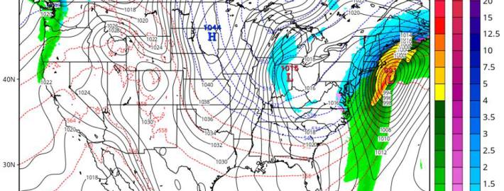
The meteorology behind this weekend’s Nor’Easter

This winter has not had a fair share of wintry events. The snowfall we have received has generally come from clipper systems, and the larger storm systems have been rain. But the weather pattern is changing towards one that favors major east coast storm development and potentially large snowfall events. It is not a slam-dunk by any means, since there are a lot of moving parts, but the pattern over the next few weeks certainly piques the interest of any meteorologist looking for potential winter weather events.

One of the main problems for getting major snowstorms this winter has been the very fast flow across the Pacific and Atlantic basins. This means that any large storm that tried to amplify would get flattened out, as any ridging in the Pacific would get flattened like a pancake. This is going to change as we head towards this weekend.

Read more

Weather rollercoaster could end with Thanksgiving Nor’Easter

As most of you could probably tell by simply walking outside, another mid-winter airmass has filtered into the region today, and will set up another very cold night tonight. As high pressure settles into the region this evening and tonight, winds will subside to nearly calm levels. When this is combined with clear skies and a very dry atmosphere, ideal conditions for radiational cooling will be generated. This leads to lows in the upper teens in the interior, and lower 20s near the coast, with perhaps mid 20s in the warmest urban areas.

Afterward, the trend will be for moderation. This is because the high pressure will be sliding off the coast, giving way to a ridge and a return southwest flow. This will help to significantly warm temperatures aloft, but surface temperatures may be a bit more stubborn to warm up due to the presence of high pressure wedging the colder air. Still, though, the shift in wind direction and the ridge will be enough for temperatures to warm to around 40 or the low 40s tomorrow afternoon.

It won’t be until a warm front crosses the area tomorrow night that the weather will start to get a lot more interesting.

Read more

High latitude ridge could bring below normal temperatures

High latitude ridging has become a bit of a staple in meteorological terminology over the past several years. Much of this can be attributed to the fact that we’ve seen several record breaking episodes of it. Conversely, we’ve also seen periods which have lacked that blocking, leading to major forecast changes and dramatic pattern evolutions. High latitude blocking, or ridging, occurs when higher than normal heights build into the higher latitudes (here’s a not-so-fancy image of where the high latitudes are defined). This can occur at any time of year, but we’ve seen it in the Autumn and Winter more often over the past several seasons. High latitude ridging and blocking events can be of varying degrees, as well. Some of the less extreme examples, like this upcoming one, can produce mild pattern changes. Other more extreme examples, like the high latitude block that occurred prior to Hurricane Sandy and the Boxing Day Blizzard, can…well, you know.

Nevertheless, without getting overly technical, these high latitude blocks and ridges can “buckle” and slow down the mid and upper level atmospheric pattern. And while much also depends on what’s going on around these blocks, more often than not if they occur on the Atlantic side (Northwest Atlantic Ocean into Greenland), they result in cooler than normal air being displaced to the south of the ridge over Canada. This often leads to cooler than normal air in our region, and this upcoming event likely won’t be an exception to that rule.

Read more

Severe thunderstorms likely this afternoon and evening

A morning sounding, gathered via data from a weather balloon launched at the NWS in Upton, New York showed a developing unstable environment — and sufficient wind shear for organization of strong and severe thunderstorms. An approaching disturbance in the mid and upper levels will aid in the development of strong to severe thunderstorms, which will be fueled by a moderately unstable environment throughout the area. Organized thunderstorms will be capable of producing strong and damaging winds, frequent lightning, and very heavy flooding rains.

Additionally, an increase in storm relative helicity and low level shear suggests the potential may exist for downbursts and isolated tornadoes. If individual supercells can form, this threat could be somewhat greater. Storms are expected to develop over Eastern Pennsylvania this afternoon and shift eastward through NJ, NYC, SE NY and CT. With strengthening wind fields, just above the surface, any storm could produce the aforementioned damaging winds and severe-weather impacts.

Morning sounding from the weather balloon launched at Upton, NY.

Morning sounding from the weather balloon launched at Upton, NY.

Read more